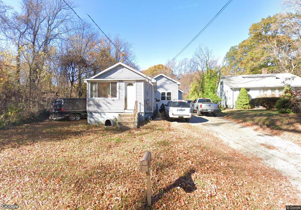
103 E Rutland Rd Milford, CT 06461
Parkway/Wheelers Farm Road NeighborhoodEstimated Value: $434,503 - $502,000
4
Beds
2
Baths
1,572
Sq Ft
$300/Sq Ft
Est. Value
About This Home
This home is located at 103 E Rutland Rd, Milford, CT 06461 and is currently estimated at $471,126, approximately $299 per square foot. 103 E Rutland Rd is a home located in New Haven County with nearby schools including Mathewson School, Harborside Middle School, and Jonathan Law High School.
Ownership History
Date
Name
Owned For
Owner Type
Purchase Details
Closed on
Jun 14, 2006
Sold by
Daddio Robert S and Daddio Mary
Bought by
Daddio Salvatore
Current Estimated Value
Home Financials for this Owner
Home Financials are based on the most recent Mortgage that was taken out on this home.
Original Mortgage
$46,000
Interest Rate
6.62%
Purchase Details
Closed on
Jun 28, 2002
Sold by
Brandalick Darlene
Bought by
Richardson John
Home Financials for this Owner
Home Financials are based on the most recent Mortgage that was taken out on this home.
Original Mortgage
$128,250
Interest Rate
6.92%
Purchase Details
Closed on
Aug 31, 1988
Sold by
Kowalczik Robert J
Bought by
Brandalick James A
Create a Home Valuation Report for This Property
The Home Valuation Report is an in-depth analysis detailing your home's value as well as a comparison with similar homes in the area
Home Values in the Area
Average Home Value in this Area
Purchase History
| Date | Buyer | Sale Price | Title Company |
|---|---|---|---|
| Daddio Salvatore | $90,109 | -- | |
| Richardson John | $135,000 | -- | |
| Richardson John | $135,000 | -- | |
| Brandalick James A | $100,000 | -- |
Source: Public Records
Mortgage History
| Date | Status | Borrower | Loan Amount |
|---|---|---|---|
| Closed | Brandalick James A | $46,000 | |
| Previous Owner | Brandalick James A | $157,000 | |
| Previous Owner | Brandalick James A | $128,250 |
Source: Public Records
Tax History Compared to Growth
Tax History
| Year | Tax Paid | Tax Assessment Tax Assessment Total Assessment is a certain percentage of the fair market value that is determined by local assessors to be the total taxable value of land and additions on the property. | Land | Improvement |
|---|---|---|---|---|
| 2025 | $5,625 | $190,340 | $88,880 | $101,460 |
| 2024 | $5,547 | $190,340 | $88,880 | $101,460 |
| 2023 | $5,172 | $190,340 | $88,880 | $101,460 |
| 2022 | $5,073 | $190,340 | $88,880 | $101,460 |
| 2021 | $4,096 | $148,150 | $50,720 | $97,430 |
| 2020 | $4,101 | $148,150 | $50,720 | $97,430 |
| 2019 | $4,105 | $148,150 | $50,720 | $97,430 |
| 2018 | $4,110 | $148,150 | $50,720 | $97,430 |
| 2017 | $4,117 | $148,150 | $50,720 | $97,430 |
| 2016 | $3,920 | $140,800 | $50,720 | $90,080 |
| 2015 | $3,926 | $140,800 | $50,720 | $90,080 |
| 2014 | $3,833 | $140,800 | $50,720 | $90,080 |
Source: Public Records
Map
Nearby Homes
- 0 E Rutland Rd
- 324 Wheelers Farms Rd
- 82 Oak Ridge Ln
- 193 Wheelers Farms Rd
- 252 Oronoque Rd
- 282 Oronoque Rd
- 143 Juniper Dr
- 25 Southwick Ct N
- 238 Zion Hill Rd
- 26 Jasmine Cir
- 139 Wepawaug Dr
- 156 Meadow St
- 116 Cornfield Rd
- 271 W River St
- 210 Jamestown Rd
- 492 North St
- 0 North St
- 27 Peck St
- 20 Aspen Cir
- 72 Plains Rd
- 99 E Rutland Rd
- 83 E Rutland Rd
- 102 E Rutland Rd
- 86 E Rutland Rd
- 75 E Rutland Rd
- 65 E Rutland Rd
- 72 E Rutland Rd
- 25 Chevelle Place
- 163 Lookout Hill Rd
- 155 Lookout Hill Rd
- 55 E Rutland Rd
- 47 E Rutland Rd
- 169 Lookout Hill Rd
- 46 E Rutland Rd
- 39 Spice Bush Ln
- 23 Jasmine Cir
- 23 Jasmine Cir Unit 23
- 141 Lookout Hill Rd
- 32 Chevelle Place
- 40 Tulip Tree Ct