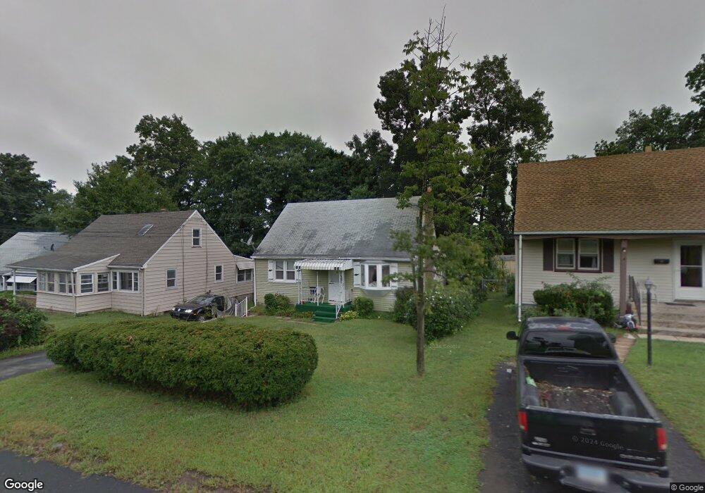
103 Elam St New Britain, CT 06053
Estimated Value: $220,850 - $264,000
4
Beds
1
Bath
1,152
Sq Ft
$210/Sq Ft
Est. Value
About This Home
This home is located at 103 Elam St, New Britain, CT 06053 and is currently estimated at $241,713, approximately $209 per square foot. 103 Elam St is a home located in Hartford County with nearby schools including Gaffney School and Slade Middle School.
Ownership History
Date
Name
Owned For
Owner Type
Purchase Details
Closed on
May 22, 1998
Sold by
Bank Of America
Bought by
Pelletier Debra M
Current Estimated Value
Home Financials for this Owner
Home Financials are based on the most recent Mortgage that was taken out on this home.
Original Mortgage
$55,000
Outstanding Balance
$10,188
Interest Rate
6.5%
Mortgage Type
Unknown
Estimated Equity
$231,525
Create a Home Valuation Report for This Property
The Home Valuation Report is an in-depth analysis detailing your home's value as well as a comparison with similar homes in the area
Home Values in the Area
Average Home Value in this Area
Purchase History
| Date | Buyer | Sale Price | Title Company |
|---|---|---|---|
| Pelletier Debra M | $70,000 | -- |
Source: Public Records
Mortgage History
| Date | Status | Borrower | Loan Amount |
|---|---|---|---|
| Open | Pelletier Debra M | $55,000 |
Source: Public Records
Tax History Compared to Growth
Tax History
| Year | Tax Paid | Tax Assessment Tax Assessment Total Assessment is a certain percentage of the fair market value that is determined by local assessors to be the total taxable value of land and additions on the property. | Land | Improvement |
|---|---|---|---|---|
| 2025 | $4,152 | $105,980 | $38,290 | $67,690 |
| 2024 | $4,196 | $105,980 | $38,290 | $67,690 |
| 2023 | $4,057 | $105,980 | $38,290 | $67,690 |
| 2022 | $3,746 | $75,670 | $17,640 | $58,030 |
| 2021 | $3,746 | $75,670 | $17,640 | $58,030 |
| 2020 | $3,821 | $75,670 | $17,640 | $58,030 |
| 2019 | $3,821 | $75,670 | $17,640 | $58,030 |
| 2018 | $3,821 | $75,670 | $17,640 | $58,030 |
| 2017 | $3,319 | $65,730 | $14,700 | $51,030 |
| 2016 | $3,319 | $65,730 | $14,700 | $51,030 |
| 2015 | $3,221 | $65,730 | $14,700 | $51,030 |
| 2014 | $3,221 | $65,730 | $14,700 | $51,030 |
Source: Public Records
Map
Nearby Homes
- 19 Maplehurst Ave
- 87 Pinehurst Ave
- 230 Hillhurst Ave
- 95 Pierremount Ave
- 27 Candlewood Ln
- 874 Slater Rd
- 1485 Corbin Ave
- 234 Pierremount Ave
- 152 Oakland Ave
- 1467 Corbin Ave
- 148 Governor St
- 42 Fairlane Dr
- 8 Albany Ave
- 25 Clinton St
- 59 Heather Ln
- 108 Overhill Ave
- 410 Farmington Ave Unit O6
- 335 Broad St
- 67 Eastwick Rd
- 115 Beechwood Dr