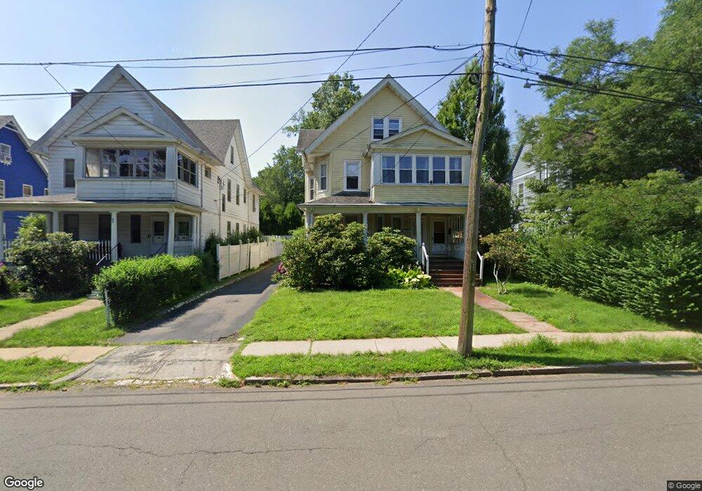
103 Elizabeth St Hartford, CT 06105
West End NeighborhoodEstimated Value: $392,000 - $600,000
6
Beds
3
Baths
3,185
Sq Ft
$148/Sq Ft
Est. Value
About This Home
This home is located at 103 Elizabeth St, Hartford, CT 06105 and is currently estimated at $471,145, approximately $147 per square foot. 103 Elizabeth St is a home located in Hartford County with nearby schools including Noah Webster Micro Society School, Rawson School, and McKinley School.
Ownership History
Date
Name
Owned For
Owner Type
Purchase Details
Closed on
May 4, 2015
Sold by
Karjohn Sara S
Bought by
Senior Mark G and Senior Bernard A
Current Estimated Value
Home Financials for this Owner
Home Financials are based on the most recent Mortgage that was taken out on this home.
Original Mortgage
$176,250
Outstanding Balance
$135,779
Interest Rate
3.76%
Mortgage Type
New Conventional
Estimated Equity
$335,366
Purchase Details
Closed on
Jan 22, 2010
Sold by
Karjohn Stanford
Bought by
Karjohn Sara
Create a Home Valuation Report for This Property
The Home Valuation Report is an in-depth analysis detailing your home's value as well as a comparison with similar homes in the area
Home Values in the Area
Average Home Value in this Area
Purchase History
| Date | Buyer | Sale Price | Title Company |
|---|---|---|---|
| Senior Mark G | $235,000 | -- | |
| Karjohn Sara | -- | -- |
Source: Public Records
Mortgage History
| Date | Status | Borrower | Loan Amount |
|---|---|---|---|
| Open | Karjohn Sara | $176,250 | |
| Previous Owner | Karjohn Sara | $24,278 |
Source: Public Records
Tax History Compared to Growth
Tax History
| Year | Tax Paid | Tax Assessment Tax Assessment Total Assessment is a certain percentage of the fair market value that is determined by local assessors to be the total taxable value of land and additions on the property. | Land | Improvement |
|---|---|---|---|---|
| 2025 | $7,318 | $106,134 | $30,245 | $75,889 |
| 2024 | $7,318 | $106,134 | $30,245 | $75,889 |
| 2023 | $7,318 | $106,134 | $30,245 | $75,889 |
| 2022 | $7,318 | $106,134 | $30,245 | $75,889 |
| 2021 | $6,170 | $83,055 | $28,805 | $54,250 |
| 2020 | $6,170 | $83,055 | $28,805 | $54,250 |
| 2019 | $6,170 | $83,055 | $28,805 | $54,250 |
| 2018 | $5,962 | $80,255 | $27,834 | $52,421 |
| 2016 | $5,726 | $77,079 | $26,509 | $50,570 |
| 2015 | $5,454 | $73,417 | $25,249 | $48,168 |
| 2014 | $5,321 | $71,622 | $24,632 | $46,990 |
Source: Public Records
Map
Nearby Homes
- 276 Oxford St Unit 278
- 275 Kenyon St
- 260 Oxford St Unit 262
- 120 Whitney St
- 94 Goodwin Cir Unit 94
- 62 Whitney St
- 28 Whitney St
- 31 Woodland St Unit 9 A
- 31 Woodland St Unit 4I
- 31 Woodland St Unit 1E
- 31 Woodland St Unit 7 O
- 31 Woodland St Unit 4G
- 30 Woodland St Unit 4G
- 30 Woodland St Unit 3D
- 30 Woodland St Unit 9H
- 30 Woodland St Unit 5H
- 40 Owen St Unit B5
- 40 Owen St Unit A3
- 11 Marshall St
- 14 Gray St Unit 16
- 103 Elizabeth St Unit 105
- 99 Elizabeth St Unit 101
- 107 Elizabeth St
- 95 Elizabeth St
- 111 Elizabeth St
- 185 Girard Ave
- 205 Girard Ave
- 198 Kenyon St
- 208 Kenyon St
- 194 Kenyon St
- 220 Kenyon St
- 80 Elizabeth St
- 181 Girard Ave
- 211 Girard Ave
- 186 Kenyon St
- 226 Kenyon St
- 129 Elizabeth St
- 171 Girard Ave
- 176 Kenyon St
- 232 Kenyon St