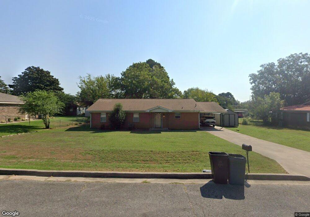
103 Ford Place Poteau, OK 74953
Estimated Value: $116,207 - $181,000
3
Beds
1
Bath
1,440
Sq Ft
$101/Sq Ft
Est. Value
About This Home
This home is located at 103 Ford Place, Poteau, OK 74953 and is currently estimated at $145,052, approximately $100 per square foot. 103 Ford Place is a home located in Le Flore County with nearby schools including Poteau Primary Elementary School, Poteau Upper Elementary School, and Pansy Kidd Middle School.
Ownership History
Date
Name
Owned For
Owner Type
Purchase Details
Closed on
Dec 20, 2012
Sold by
Shelburn James R and Shelburn Daris D
Bought by
Klick Michael T and Klick Regina L
Current Estimated Value
Purchase Details
Closed on
Dec 19, 2011
Sold by
Dobbins Loy J
Bought by
Shelburn James and Shelburn Daris D
Home Financials for this Owner
Home Financials are based on the most recent Mortgage that was taken out on this home.
Original Mortgage
$53,629
Interest Rate
4.03%
Mortgage Type
Future Advance Clause Open End Mortgage
Create a Home Valuation Report for This Property
The Home Valuation Report is an in-depth analysis detailing your home's value as well as a comparison with similar homes in the area
Home Values in the Area
Average Home Value in this Area
Purchase History
| Date | Buyer | Sale Price | Title Company |
|---|---|---|---|
| Klick Michael T | -- | None Available | |
| Shelburn James | $67,000 | None Available |
Source: Public Records
Mortgage History
| Date | Status | Borrower | Loan Amount |
|---|---|---|---|
| Previous Owner | Shelburn James | $53,629 |
Source: Public Records
Tax History Compared to Growth
Tax History
| Year | Tax Paid | Tax Assessment Tax Assessment Total Assessment is a certain percentage of the fair market value that is determined by local assessors to be the total taxable value of land and additions on the property. | Land | Improvement |
|---|---|---|---|---|
| 2025 | $638 | $7,493 | $935 | $6,558 |
| 2024 | $638 | $7,494 | $935 | $6,559 |
| 2023 | $638 | $6,797 | $935 | $5,862 |
| 2022 | $579 | $6,473 | $935 | $5,538 |
| 2021 | $550 | $6,165 | $935 | $5,230 |
| 2020 | $553 | $6,168 | $935 | $5,233 |
| 2019 | $592 | $6,588 | $935 | $5,653 |
| 2018 | $556 | $6,523 | $935 | $5,588 |
| 2017 | $562 | $6,558 | $935 | $5,623 |
| 2016 | $539 | $6,351 | $935 | $5,416 |
| 2015 | $524 | $6,048 | $935 | $5,113 |
| 2014 | $528 | $6,050 | $935 | $5,115 |
Source: Public Records
Map
Nearby Homes
- 207 Thompson Ave
- 104 Clark Ave
- 516 Beeler St
- TBD Tract #1 Coggins Ave
- TBD Tract #2 Coggins Ave
- 000 Coggins Ave
- 301 Turman St
- 307 Mission Dr
- TBD Mission Dr
- 204 Bowlin Dr
- 301 Wilson Ave
- 205 Bowlin Dr
- 104 Craigway St
- 2104 N Broadway St Unit b
- 606 Torby Ave
- 110 Witteville Rd
- 105 Witteville Rd
- 111 Witteville Rd
- 701 N Witte St
- 102 Dogwood Ave