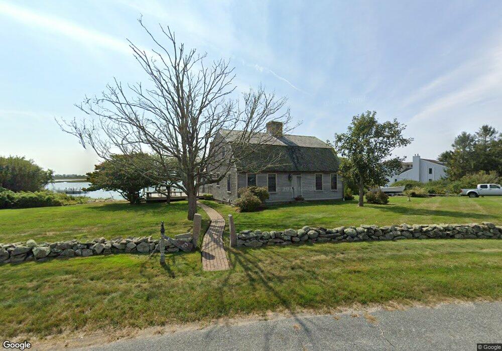
103 Gale Dr Wakefield, RI 02879
Estimated Value: $1,946,621 - $2,439,000
3
Beds
2
Baths
2,006
Sq Ft
$1,041/Sq Ft
Est. Value
About This Home
This home is located at 103 Gale Dr, Wakefield, RI 02879 and is currently estimated at $2,087,905, approximately $1,040 per square foot. 103 Gale Dr is a home located in Washington County with nearby schools including South Kingstown High School.
Ownership History
Date
Name
Owned For
Owner Type
Purchase Details
Closed on
Nov 2, 1995
Sold by
Hooper John and Hooper Hilda
Bought by
Hooper John and Hooper Susan
Current Estimated Value
Home Financials for this Owner
Home Financials are based on the most recent Mortgage that was taken out on this home.
Original Mortgage
$418,000
Interest Rate
7.58%
Create a Home Valuation Report for This Property
The Home Valuation Report is an in-depth analysis detailing your home's value as well as a comparison with similar homes in the area
Home Values in the Area
Average Home Value in this Area
Purchase History
| Date | Buyer | Sale Price | Title Company |
|---|---|---|---|
| Hooper John | $440,000 | -- |
Source: Public Records
Mortgage History
| Date | Status | Borrower | Loan Amount |
|---|---|---|---|
| Open | Hooper John | $150,000 | |
| Closed | Hooper John | $418,000 |
Source: Public Records
Tax History
| Year | Tax Paid | Tax Assessment Tax Assessment Total Assessment is a certain percentage of the fair market value that is determined by local assessors to be the total taxable value of land and additions on the property. | Land | Improvement |
|---|---|---|---|---|
| 2025 | $17,404 | $1,946,800 | $1,596,200 | $350,600 |
| 2024 | $17,805 | $1,611,300 | $1,309,000 | $302,300 |
| 2023 | $17,805 | $1,611,300 | $1,309,000 | $302,300 |
| 2022 | $17,644 | $1,611,300 | $1,309,000 | $302,300 |
| 2021 | $14,996 | $1,037,800 | $805,500 | $232,300 |
| 2020 | $14,996 | $1,037,800 | $805,500 | $232,300 |
| 2019 | $14,996 | $1,037,800 | $805,500 | $232,300 |
| 2018 | $15,191 | $968,800 | $758,100 | $210,700 |
| 2017 | $14,832 | $968,800 | $758,100 | $210,700 |
| 2016 | $14,619 | $968,800 | $758,100 | $210,700 |
| 2015 | $13,889 | $894,900 | $690,000 | $204,900 |
| 2014 | $13,853 | $894,900 | $690,000 | $204,900 |
Source: Public Records
Map
Nearby Homes
- 691 Succotash Rd
- 14 E Pointe Ct Unit 14
- 43 Wild Rose Ct
- 299 Succotash Rd
- 6 MacAlder St
- 1140 Succotash Rd
- 25 Scallop Shell Rd
- 210 Washington St
- 17 Goose Island Rd
- 975 Matunuck Beach Rd
- 380 Camp Fuller Rd
- 854 Matunuck Beach #215 Rd
- 27 Holden Rd
- 0 Hemlock Ave
- 0 Stanton Ave
- 0 Point Judith Rd
- 240 Cards Pond Rd
- 120 Chestnut Ave
- 1125 Point Judith Rd Unit D4
- 47 Saint James Rd
Your Personal Tour Guide
Ask me questions while you tour the home.