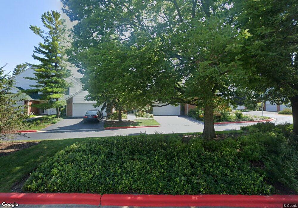
103 Hampton Blvd Unit 1C Lake Bluff, IL 60044
Southwest Waukegan NeighborhoodEstimated Value: $311,775 - $357,000
Studio
3
Baths
1,350
Sq Ft
$247/Sq Ft
Est. Value
About This Home
This home is located at 103 Hampton Blvd Unit 1C, Lake Bluff, IL 60044 and is currently estimated at $333,444, approximately $246 per square foot. 103 Hampton Blvd Unit 1C is a home located in Lake County with nearby schools including Oak Grove Elementary School, Libertyville High School, and Forest Bluff School.
Ownership History
Date
Name
Owned For
Owner Type
Purchase Details
Closed on
May 6, 2022
Sold by
Belinda Hightower
Bought by
Jervis Belinda A and Hightower Belinda A
Current Estimated Value
Purchase Details
Closed on
Jul 2, 2003
Sold by
Hightower Larry M
Bought by
Hightower Belinda
Home Financials for this Owner
Home Financials are based on the most recent Mortgage that was taken out on this home.
Original Mortgage
$155,000
Interest Rate
6.02%
Mortgage Type
Purchase Money Mortgage
Create a Home Valuation Report for This Property
The Home Valuation Report is an in-depth analysis detailing your home's value as well as a comparison with similar homes in the area
Home Values in the Area
Average Home Value in this Area
Purchase History
| Date | Buyer | Sale Price | Title Company |
|---|---|---|---|
| Jervis Belinda A | -- | None Listed On Document | |
| Hightower Belinda | -- | First American Title Insuran |
Source: Public Records
Mortgage History
| Date | Status | Borrower | Loan Amount |
|---|---|---|---|
| Previous Owner | Hightower Belinda | $155,000 | |
| Closed | Hightower Belinda | $13,000 |
Source: Public Records
Tax History
| Year | Tax Paid | Tax Assessment Tax Assessment Total Assessment is a certain percentage of the fair market value that is determined by local assessors to be the total taxable value of land and additions on the property. | Land | Improvement |
|---|---|---|---|---|
| 2024 | $9,304 | $88,876 | $20,031 | $68,845 |
| 2023 | $8,829 | $81,973 | $18,475 | $63,498 |
| 2022 | $8,829 | $76,234 | $17,757 | $58,477 |
| 2021 | $8,521 | $74,593 | $17,375 | $57,218 |
| 2020 | $8,289 | $73,339 | $17,083 | $56,256 |
| 2019 | $8,274 | $72,642 | $16,921 | $55,721 |
| 2018 | $9,147 | $75,336 | $19,880 | $55,456 |
| 2017 | $9,020 | $72,957 | $19,252 | $53,705 |
| 2016 | $8,601 | $69,174 | $18,254 | $50,920 |
| 2015 | $8,310 | $64,654 | $17,061 | $47,593 |
| 2014 | $6,484 | $55,614 | $16,824 | $38,790 |
| 2012 | $6,260 | $56,096 | $16,970 | $39,126 |
Source: Public Records
Map
Nearby Homes
- 110 Lauralton St Unit 34EEAS
- 13296 W Heiden Cir Unit 54
- 12900 W Heiden Cir Unit 4204
- 29644 N Birch Ave
- 1107 Quassey Ave
- 717 Burris Ave
- 3357 Beacon St Unit 23
- 1004 Jenkisson Ave
- 907 W North Ave
- 905 Rockland Rd
- 2020 Knollwood Rd
- 11 Shagbark Rd
- 511 Rockland Rd
- 1967 Red Fox Ln
- 1828 White Fence Ln
- 307 Forest View Dr
- 301 Belle Foret Dr
- 228 Juneway Terrace
- 1270 Benson Ln
- 1061 Green Bay Rd
- 105 Hampton Blvd Unit 1D
- 105 Hampton Blvd Unit 105
- 101 Pembroke Cir Unit 1E
- 107 Hampton Blvd Unit 1
- 107 Hampton Blvd Unit 1A
- 109 Hampton Blvd Unit 1B
- 103 Pembroke Cir Unit 2E
- 105 Pembroke Cir Unit 2C
- 107 Pembroke Cir Unit 2D
- 145 Pembroke Cir Unit 6A
- 147 Pembroke Cir Unit 6B
- 143 Pembroke Cir Unit 6D
- 141 Pembroke Cir Unit 6C
- 100 Pembroke Cir Unit 47E1
- 139 Pembroke Cir Unit 6E
- 135 Pembroke Cir Unit 5D
- 109 Pembroke Cir Unit 2A
- 106 Pembroke Cir Unit 47C2
- 106 Pembroke Cir Unit 2-6
- 106 Pembroke Cir Unit 106
Your Personal Tour Guide
Ask me questions while you tour the home.