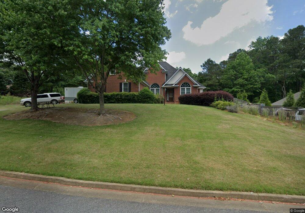
103 Hawks Bend Canton, GA 30115
Union Hill NeighborhoodEstimated Value: $710,940 - $886,000
5
Beds
4
Baths
3,573
Sq Ft
$232/Sq Ft
Est. Value
About This Home
This home is located at 103 Hawks Bend, Canton, GA 30115 and is currently estimated at $828,985, approximately $232 per square foot. 103 Hawks Bend is a home located in Cherokee County with nearby schools including Avery Elementary School, Creekland Middle School, and Creekview High School.
Ownership History
Date
Name
Owned For
Owner Type
Purchase Details
Closed on
Jun 28, 2007
Sold by
George A Brown Properties Inc
Bought by
Butler Jimmie M and Butler Edith Q
Current Estimated Value
Purchase Details
Closed on
May 5, 2005
Sold by
Hawks Trace Llc
Bought by
George A Brown Properties Inc
Home Financials for this Owner
Home Financials are based on the most recent Mortgage that was taken out on this home.
Original Mortgage
$300,000
Interest Rate
5.88%
Create a Home Valuation Report for This Property
The Home Valuation Report is an in-depth analysis detailing your home's value as well as a comparison with similar homes in the area
Home Values in the Area
Average Home Value in this Area
Purchase History
| Date | Buyer | Sale Price | Title Company |
|---|---|---|---|
| Butler Jimmie M | $479,900 | -- | |
| George A Brown Properties Inc | $95,000 | -- |
Source: Public Records
Mortgage History
| Date | Status | Borrower | Loan Amount |
|---|---|---|---|
| Previous Owner | George A Brown Properties Inc | $300,000 |
Source: Public Records
Tax History
| Year | Tax Paid | Tax Assessment Tax Assessment Total Assessment is a certain percentage of the fair market value that is determined by local assessors to be the total taxable value of land and additions on the property. | Land | Improvement |
|---|---|---|---|---|
| 2025 | $1,673 | $252,960 | $57,200 | $195,760 |
| 2024 | $2,588 | $254,120 | $57,200 | $196,920 |
| 2023 | $2,203 | $251,200 | $57,200 | $194,000 |
| 2022 | $1,794 | $195,160 | $33,640 | $161,520 |
| 2021 | $1,708 | $177,160 | $33,640 | $143,520 |
| 2020 | $1,688 | $174,320 | $33,640 | $140,680 |
| 2019 | $1,436 | $163,080 | $33,640 | $129,440 |
| 2018 | $1,402 | $156,400 | $33,640 | $122,760 |
| 2017 | $1,388 | $377,900 | $33,640 | $117,520 |
| 2016 | $1,548 | $395,900 | $33,640 | $124,720 |
| 2015 | $1,600 | $396,500 | $33,640 | $124,960 |
| 2014 | $1,393 | $355,300 | $33,640 | $108,480 |
Source: Public Records
Map
Nearby Homes
- 109 Hawks Bend
- 1155 Orchid Way
- 503 Ernest Ct
- 406 Addie Ln
- 4882 Sugar Pike Rd
- 111 Brannon Dr
- 454 Carmichael Cir
- 162 Carmichael Dr
- 1020 Lower Union Hill Rd
- 128 Long Shadows Dr
- 124 Long Shadows Dr
- 252 Carmichael Dr
- 6730 Union Hill Rd
- 451 Carmichael Cir
- 6125 Union Hill Rd
- 517 Hayes Ln
- 487 Carmichael Cir
- 1000 Haddie Way
- 1005 Haddie Way
- 218 Carmichael Dr
- 135 Hawks Bend
- 105 Hawks Bend
- 105 Hawks Bend
- 1954 Lower Union Hill Rd
- 2000 Lower Union Hill Rd
- 2030 Lower Union Hill Rd
- 102 Hawks Bend Unit 9
- 102 Hawks Bend
- 390 Lower Union Hill Rd
- 360 Lower Union Hill Rd
- 104 Hawks Bend
- 1894 Lower Union Hill Rd
- 107 Hawks Bend
- 107 Hawks Bend
- 2080 Lower Union Hill Rd
- 100 Stephens Farm Dr
- 261 Belmont Park Dr
- 207 Belmont Park Dr
- 264 Belmont Park Dr
- 257 Belmont Park Dr
Your Personal Tour Guide
Ask me questions while you tour the home.