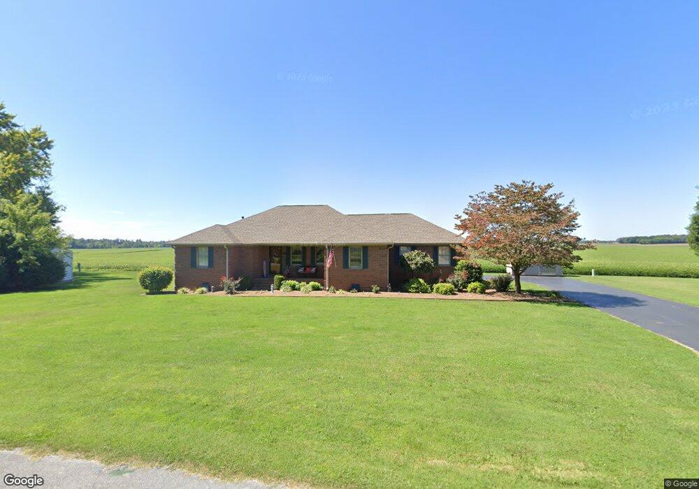
103 Howard Cir Elkton, KY 42220
Estimated Value: $226,000 - $260,990
3
Beds
2
Baths
1,872
Sq Ft
$130/Sq Ft
Est. Value
About This Home
This home is located at 103 Howard Cir, Elkton, KY 42220 and is currently estimated at $242,748, approximately $129 per square foot. 103 Howard Cir is a home with nearby schools including Todd County Middle School and Todd County Central High School.
Ownership History
Date
Name
Owned For
Owner Type
Purchase Details
Closed on
May 19, 2025
Sold by
Powell David Allen and Powell Debra Sue
Bought by
David And Debra Powell Irrevocable Trust and Powell
Current Estimated Value
Purchase Details
Closed on
Aug 1, 1994
Bought by
Powell David and Powell Sue
Create a Home Valuation Report for This Property
The Home Valuation Report is an in-depth analysis detailing your home's value as well as a comparison with similar homes in the area
Home Values in the Area
Average Home Value in this Area
Purchase History
| Date | Buyer | Sale Price | Title Company |
|---|---|---|---|
| David And Debra Powell Irrevocable Trust | $106,557 | None Listed On Document | |
| David And Debra Powell Irrevocable Trust | $106,557 | None Listed On Document | |
| David And Debra Powell Irrevocable Trust | $90,000 | None Listed On Document | |
| David And Debra Powell Irrevocable Trust | $90,000 | None Listed On Document | |
| Powell David | $10,400 | -- |
Source: Public Records
Tax History Compared to Growth
Tax History
| Year | Tax Paid | Tax Assessment Tax Assessment Total Assessment is a certain percentage of the fair market value that is determined by local assessors to be the total taxable value of land and additions on the property. | Land | Improvement |
|---|---|---|---|---|
| 2025 | $478 | $106,557 | $0 | $0 |
| 2024 | $888 | $106,557 | $0 | $0 |
| 2023 | $893 | $106,557 | $0 | $0 |
| 2022 | $880 | $106,557 | $0 | $0 |
| 2021 | $882 | $106,557 | $0 | $0 |
| 2020 | $883 | $106,557 | $0 | $0 |
| 2019 | $876 | $106,557 | $0 | $0 |
| 2018 | $863 | $106,557 | $0 | $0 |
| 2017 | $846 | $106,557 | $0 | $0 |
| 2016 | $829 | $106,557 | $28,757 | $77,800 |
| 2015 | -- | $106,557 | $0 | $77,800 |
| 2013 | -- | $106,557 | $0 | $0 |
Source: Public Records
Map
Nearby Homes
- 117 Sunset Dr
- 807 S Main St
- 103 A W Mcreynolds
- 0 Keith Trail Unit 42202
- 0 Crouch Farm Estates Unit RA20242722
- 308 Billy T Crouch
- 0 Keith Trail Unit 42201
- 0 Keith Trail Unit 42199
- 000 Crouch Farm Estates
- 140 Antioch Church Rd
- 101 Deborah St
- 211 Elk Fork Rd
- 209 Elk Fork Rd
- 102 Kimberly St
- 138 Foggy Ln
- 0 Elk Fork Rd
- 325 Davis Mill Rd
- 0 Main St N
- 0 E Jefferson Davis Hwy
- 473 B White Rd
- 105 Howard Cir
- 101 Howard Cir
- 104 Howard Cir
- 102 Howard Cir
- 107 Howard Cir
- 202 Airport Rd
- 106 Howard Cir
- 104 Airport Rd
- 204 Airport Rd
- 103 Dunheath Dr
- 102 Airport Rd
- 105 Dunheath Dr
- 108 Howard Cir
- 109 Howard Cir
- 107 Dunheath Dr
- 101 Dunheath Dr
- 110 Howard Cir
- 102 Dunheath Dr
- 104 Dunheath Dr
- 111 Dunheath Dr