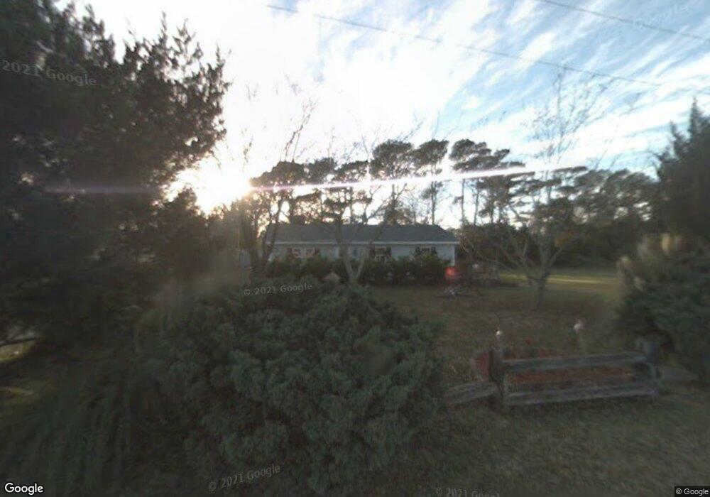
103 Loftins Ln Beaufort, NC 28516
Estimated Value: $228,000 - $524,000
3
Beds
2
Baths
1,312
Sq Ft
$281/Sq Ft
Est. Value
About This Home
This home is located at 103 Loftins Ln, Beaufort, NC 28516 and is currently estimated at $368,648, approximately $280 per square foot. 103 Loftins Ln is a home located in Carteret County with nearby schools including Beaufort Elementary School, Beaufort Middle School, and East Carteret High School.
Ownership History
Date
Name
Owned For
Owner Type
Purchase Details
Closed on
Oct 4, 2006
Sold by
Krumroy Sarah C and Krumroy Kenneth
Bought by
Cannon Jo Ann
Current Estimated Value
Home Financials for this Owner
Home Financials are based on the most recent Mortgage that was taken out on this home.
Original Mortgage
$120,000
Outstanding Balance
$70,852
Interest Rate
6.27%
Mortgage Type
Unknown
Estimated Equity
$297,796
Create a Home Valuation Report for This Property
The Home Valuation Report is an in-depth analysis detailing your home's value as well as a comparison with similar homes in the area
Home Values in the Area
Average Home Value in this Area
Purchase History
| Date | Buyer | Sale Price | Title Company |
|---|---|---|---|
| Cannon Jo Ann | $150,000 | None Available |
Source: Public Records
Mortgage History
| Date | Status | Borrower | Loan Amount |
|---|---|---|---|
| Open | Cannon Jo Ann | $120,000 |
Source: Public Records
Tax History Compared to Growth
Tax History
| Year | Tax Paid | Tax Assessment Tax Assessment Total Assessment is a certain percentage of the fair market value that is determined by local assessors to be the total taxable value of land and additions on the property. | Land | Improvement |
|---|---|---|---|---|
| 2025 | $1,975 | $325,332 | $123,474 | $201,858 |
| 2024 | $1,573 | $164,493 | $66,715 | $97,778 |
| 2023 | $1,478 | $164,493 | $66,715 | $97,778 |
| 2022 | $1,461 | $164,493 | $66,715 | $97,778 |
| 2021 | $1,461 | $164,493 | $66,715 | $97,778 |
| 2020 | $1,461 | $164,493 | $66,715 | $97,778 |
| 2019 | $1,401 | $161,226 | $55,596 | $105,630 |
| 2017 | $1,284 | $161,226 | $55,596 | $105,630 |
| 2016 | $1,212 | $161,226 | $55,596 | $105,630 |
| 2015 | $1,196 | $161,226 | $55,596 | $105,630 |
| 2014 | $1,053 | $152,710 | $60,223 | $92,487 |
Source: Public Records
Map
Nearby Homes
- 110 Live Oak Commons
- 903 Live Oak St
- 108 Circle Dr
- 805 Mulberry St Unit 202
- 805 Mulberry St Unit 204
- 805 Mulberry St Unit 105
- 805 Mulberry St Unit 201
- 805 Mulberry St Unit 104
- 805 Mulberry St Unit 103
- 805 Mulberry St Unit 102
- 805 Mulberry St Unit 101
- 201-203 Sherwood Blvd
- 203 Sherwood Blvd
- 201 Sherwood Blvd
- 124 Spoonbill Ln
- 122 Spoonbill Ln
- 621 W Beaufort Rd
- 126 Pine View Blvd
- 128 Pine View Blvd
- 120 Pine View Blvd
- 109 Live Oak Commons
- 101 Loftin Ln
- 206 North Ave
- 104 Loftins Ln
- 208 North Ave
- 102 Loftins Ln
- 103 Live Oak Commons
- 108 Loftins Ln
- 1111 Live Oak St
- 204 North Ave
- Lot 1 Middle Oak Ln
- 1107 Live Oak St
- Lot 8 Middle Oak Ln
- 1105 Live Oak St
- 110 Loftins Ln
- 1113 Live Oak St
- 109 Chestnut Dr
- 100 Live Oak St
- 109 Loftins Ln
- 107 Chestnut Dr