103 Mariners Cir Stevensville, MD 21666
Estimated Value: $893,000 - $1,222,000
--
Bed
3
Baths
2,334
Sq Ft
$462/Sq Ft
Est. Value
About This Home
This home is located at 103 Mariners Cir, Stevensville, MD 21666 and is currently estimated at $1,077,330, approximately $461 per square foot. 103 Mariners Cir is a home located in Queen Anne's County with nearby schools including Matapeake Elementary School, Matapeake Middle School, and Kent Island High School.
Ownership History
Date
Name
Owned For
Owner Type
Purchase Details
Closed on
Nov 25, 2020
Sold by
Zientak Dorothy B
Bought by
Zientak Dorothy B and Wieland Florence
Current Estimated Value
Home Financials for this Owner
Home Financials are based on the most recent Mortgage that was taken out on this home.
Original Mortgage
$120,874
Interest Rate
2.8%
Mortgage Type
FHA
Purchase Details
Closed on
Jan 16, 2020
Sold by
Zientak Dorothy B
Bought by
Zientak Dorothy B and Wieland Florence
Create a Home Valuation Report for This Property
The Home Valuation Report is an in-depth analysis detailing your home's value as well as a comparison with similar homes in the area
Home Values in the Area
Average Home Value in this Area
Purchase History
| Date | Buyer | Sale Price | Title Company |
|---|---|---|---|
| Zientak Dorothy B | -- | None Available | |
| Zientak Dorothy B | -- | None Available |
Source: Public Records
Mortgage History
| Date | Status | Borrower | Loan Amount |
|---|---|---|---|
| Closed | Zientak Dorothy B | $120,874 |
Source: Public Records
Tax History Compared to Growth
Tax History
| Year | Tax Paid | Tax Assessment Tax Assessment Total Assessment is a certain percentage of the fair market value that is determined by local assessors to be the total taxable value of land and additions on the property. | Land | Improvement |
|---|---|---|---|---|
| 2025 | $9,128 | $962,600 | $0 | $0 |
| 2024 | $8,862 | $934,400 | $0 | $0 |
| 2023 | $8,596 | $906,200 | $637,000 | $269,200 |
| 2022 | $8,596 | $906,200 | $637,000 | $269,200 |
| 2021 | $0 | $906,200 | $637,000 | $269,200 |
| 2020 | $0 | $933,800 | $679,600 | $254,200 |
| 2019 | $8,956 | $933,800 | $679,600 | $254,200 |
| 2018 | $8,956 | $933,800 | $679,600 | $254,200 |
| 2017 | $9,732 | $1,008,400 | $0 | $0 |
| 2016 | -- | $1,008,400 | $0 | $0 |
| 2015 | $12,118 | $1,008,400 | $0 | $0 |
| 2014 | $12,118 | $1,012,500 | $0 | $0 |
Source: Public Records
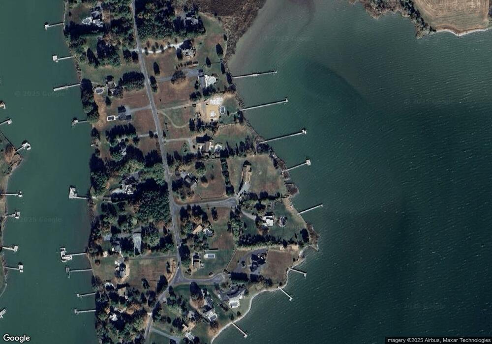
Map
Nearby Homes
- 124 Eareckson Ln
- 100 Eareckson Ln
- 114 Queens Colony High Rd
- 122 Mallard Dr
- 116 Mallard Dr
- 303 Queens Colony High Rd
- 0 Reynolds Ave
- 0 Allen Ave
- 312 Queens Colony High Rd
- 103 Chesapeake Estates Dr
- Lot 7 Maple Rd
- 410 5 Farms Dr
- 206 Columbia Ln
- 0 Chesapeake Estates Dr
- 412 Five Farms Dr
- 114 Birch Rd
- 303 Queen Anne Club Dr
- 107 Bay Dr
- 104 Bay Dr
- 534 Talbot Rd
- 241 Shipping Creek Dr
- 245 Shipping Creek Dr
- 104 Mariners Cir
- 237 Shipping Creek Dr
- 107 Anchor Cir
- 303 Butlers Landing
- 233 Shipping Creek Dr
- 244 Shipping Creek Dr
- 104 Anchor Cir
- 240 Shipping Creek Dr
- 229 Shipping Creek Dr
- 236 Shipping Creek Dr
- 401 Butlers Landing
- 300 Shipping Creek Dr
- 304 Butlers Landing
- 405 Butlers Landing
- 232 Shipping Creek Dr
- 225 Shipping Creek Dr
- 400 Butlers Landing
- 409 Butlers Landing