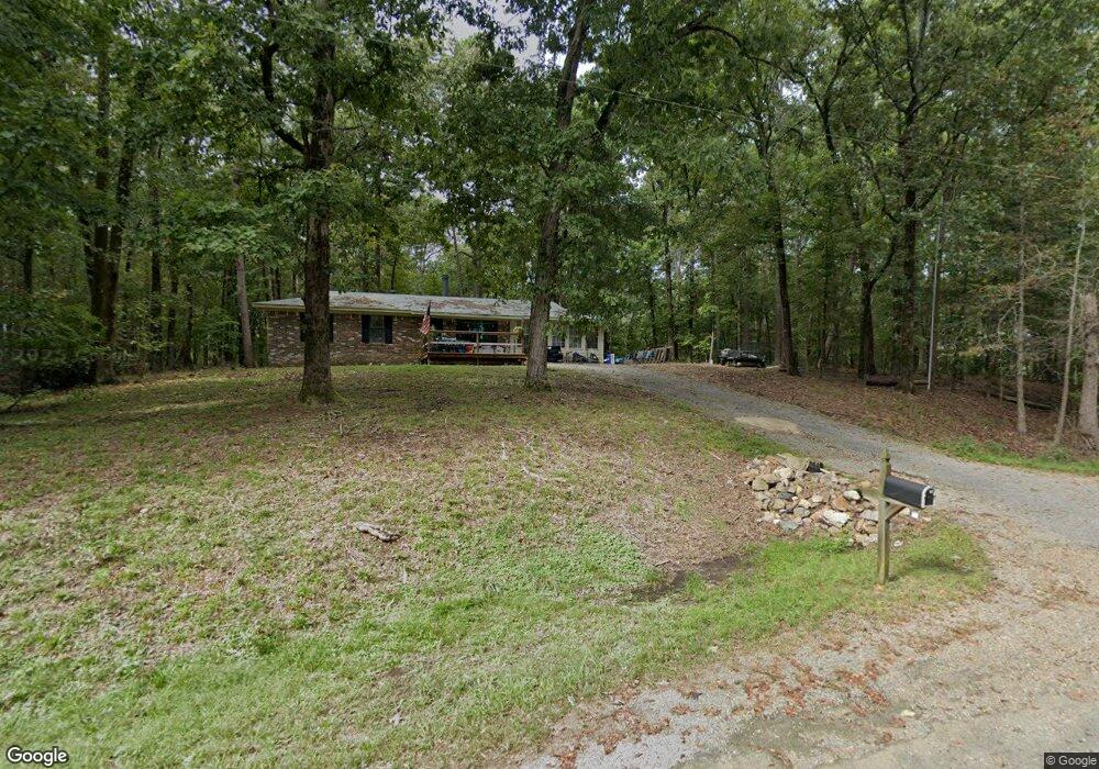
103 Maui Cir Hot Springs National Park, AR 71913
Estimated Value: $141,667 - $224,000
--
Bed
2
Baths
1,700
Sq Ft
$115/Sq Ft
Est. Value
About This Home
This home is located at 103 Maui Cir, Hot Springs National Park, AR 71913 and is currently estimated at $195,417, approximately $114 per square foot. 103 Maui Cir is a home located in Hot Spring County with nearby schools including Magnet Cove Elementary School and Magnet Cove High School.
Ownership History
Date
Name
Owned For
Owner Type
Purchase Details
Closed on
Jan 30, 2007
Sold by
Suh Ki San and Suh Soo Bin
Bought by
Hopper Dana S
Current Estimated Value
Home Financials for this Owner
Home Financials are based on the most recent Mortgage that was taken out on this home.
Original Mortgage
$89,800
Outstanding Balance
$53,152
Interest Rate
6.13%
Estimated Equity
$142,265
Purchase Details
Closed on
May 29, 2002
Bought by
Suh Ki San
Purchase Details
Closed on
Dec 22, 1994
Bought by
Lower Eugene M and Mckeon Carol L
Create a Home Valuation Report for This Property
The Home Valuation Report is an in-depth analysis detailing your home's value as well as a comparison with similar homes in the area
Home Values in the Area
Average Home Value in this Area
Purchase History
| Date | Buyer | Sale Price | Title Company |
|---|---|---|---|
| Hopper Dana S | -- | -- | |
| Suh Ki San | $76,000 | -- | |
| Jameson Jim W | $53,000 | -- | |
| Lower Eugene M | -- | -- |
Source: Public Records
Mortgage History
| Date | Status | Borrower | Loan Amount |
|---|---|---|---|
| Open | Hopper Dana S | $89,800 |
Source: Public Records
Tax History Compared to Growth
Tax History
| Year | Tax Paid | Tax Assessment Tax Assessment Total Assessment is a certain percentage of the fair market value that is determined by local assessors to be the total taxable value of land and additions on the property. | Land | Improvement |
|---|---|---|---|---|
| 2025 | $927 | $18,485 | $1,600 | $16,885 |
| 2024 | $1,013 | $18,485 | $1,600 | $16,885 |
| 2023 | $927 | $18,485 | $1,600 | $16,885 |
| 2022 | $1,008 | $18,485 | $1,600 | $16,885 |
| 2021 | $1,003 | $18,485 | $1,600 | $16,885 |
| 2020 | $1,056 | $19,545 | $1,600 | $17,945 |
| 2019 | $1,056 | $19,545 | $1,600 | $17,945 |
| 2018 | $1,056 | $19,545 | $1,600 | $17,945 |
| 2017 | $980 | $19,545 | $1,600 | $17,945 |
| 2016 | $912 | $19,545 | $1,600 | $17,945 |
| 2015 | $532 | $18,915 | $1,400 | $17,515 |
| 2014 | $532 | $18,915 | $1,400 | $17,515 |
Source: Public Records
Map
Nearby Homes
- 208 Avonshire Terrace
- 206 Avonshire Terrace
- 206 & 208 Avonshire Terrace
- 110 Clifton Ct
- Lot 102 & 103 Marsh Harbor
- Lot 1132A Edgehill Ct
- lot 1152A Edgehill Ct
- Lots 552 & 553 Winterhaven Dr
- 109 Medinah Overlook
- Lot 859 Morningside Dr
- Lot 1612 Independence Dr
- Lot 825 Independence Dr
- 825 Independence Dr
- 28 Edgemont Dr
- 28A Edgemont Dr
- 0 Winterhaven Dr Unit AV25-422
- 249 Springbrook Dr
- 21 Springbrook Dr
- Lot 936 Angler Ct
- Lot 1092 Cedar Hill Dr
- 189 Maui Cir
- XXX Lot 188 Maui Cir
- LOT 188 Maui Cir
- 102 Barton Ct
- 104 Barton Ct
- 103 Barton Ct
- 612 Independence Dr
- 108 Spyglass Point
- 606 Independence Dr
- Lot #210 Avonshire Terrace
- 210 Avonshire Terrace
- 212 Avonshire Terrace
- 211 Avonshire Terrace
- 213 Avonshire Terrace
- 107 Avonshire Terrace
- XX Marsh Harbor Dr
- 102A of Sec.B Marsh Harbor Dr
- 0 Marsh Harbor Dr
- lot 1214 Marsh Harbor Dr
- Lot 102A Marsh Harbor Dr