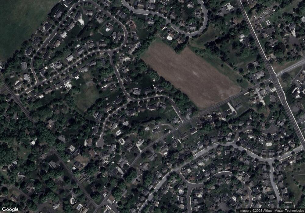
103 Muirfield Dr Royersford, PA 19468
Limerick Township NeighborhoodEstimated Value: $702,748 - $782,000
4
Beds
5
Baths
2,980
Sq Ft
$245/Sq Ft
Est. Value
About This Home
This home is located at 103 Muirfield Dr, Royersford, PA 19468 and is currently estimated at $729,687, approximately $244 per square foot. 103 Muirfield Dr is a home located in Montgomery County with nearby schools including Brooke Elementary School, Spring-Ford Middle School 8th Grade Center, and Spring-Ford Middle School 5/6/7 Grade Center.
Ownership History
Date
Name
Owned For
Owner Type
Purchase Details
Closed on
Jan 10, 2005
Sold by
Not Provided
Bought by
Not Provided
Current Estimated Value
Home Financials for this Owner
Home Financials are based on the most recent Mortgage that was taken out on this home.
Original Mortgage
$315,600
Outstanding Balance
$159,341
Interest Rate
5.75%
Mortgage Type
New Conventional
Estimated Equity
$570,346
Purchase Details
Closed on
Mar 10, 1994
Sold by
Fay Development Inc
Bought by
Schloth Edward C and Schloth Karolee
Create a Home Valuation Report for This Property
The Home Valuation Report is an in-depth analysis detailing your home's value as well as a comparison with similar homes in the area
Home Values in the Area
Average Home Value in this Area
Purchase History
| Date | Buyer | Sale Price | Title Company |
|---|---|---|---|
| Not Provided | $394,500 | -- | |
| Schloth Edward C | $179,550 | -- |
Source: Public Records
Mortgage History
| Date | Status | Borrower | Loan Amount |
|---|---|---|---|
| Open | Not Provided | $315,600 |
Source: Public Records
Tax History Compared to Growth
Tax History
| Year | Tax Paid | Tax Assessment Tax Assessment Total Assessment is a certain percentage of the fair market value that is determined by local assessors to be the total taxable value of land and additions on the property. | Land | Improvement |
|---|---|---|---|---|
| 2025 | $6,971 | $180,310 | -- | -- |
| 2024 | $6,971 | $180,310 | -- | -- |
| 2023 | $6,468 | $175,310 | $50,540 | $124,770 |
| 2022 | $6,249 | $175,310 | $50,540 | $124,770 |
| 2021 | $6,101 | $175,310 | $50,540 | $124,770 |
| 2020 | $5,946 | $175,310 | $50,540 | $124,770 |
| 2019 | $5,838 | $175,310 | $50,540 | $124,770 |
| 2018 | $4,507 | $175,310 | $50,540 | $124,770 |
| 2017 | $5,730 | $175,310 | $50,540 | $124,770 |
| 2016 | $5,662 | $175,310 | $50,540 | $124,770 |
| 2015 | $5,418 | $175,310 | $50,540 | $124,770 |
| 2014 | $5,418 | $175,310 | $50,540 | $124,770 |
Source: Public Records
Map
Nearby Homes
- 610 King Rd
- 420 N Lewis Rd
- 1808 Foxmeadow Cir Unit CONDO 1808
- 25 Walters Ln
- 801 Horseshoe Dr Unit 801
- 1308 Foxmeadow Dr Unit CONDO 1308
- 1411 Stratford Ct Unit CONDO 1411
- 646 Elm St
- 545 N Lewis Rd
- 429 Church St
- 0 Main St Unit PAMC2088436
- 602 Summit Dr
- 16 Long Meadow Rd
- 518 Walnut St
- 511 Linfield Rd
- 523 W Linfield Rd
- 523 Linfield Rd #Carlton Grand
- The Carlton Plan at Alderwood Run
- The Sutton Grand Plan at Alderwood Run
- The Sutton Plan at Alderwood Run
- 101 Muirfield Dr
- 105 Muirfield Dr
- 641 King Rd
- 211 Springhaven Cir
- 645 King Rd
- 104 Muirfield Dr
- 102 Muirfield Dr
- 106 Muirfield Dr
- 210 Springhaven Cir
- 639 King Rd
- 651 King Rd
- 201 Springhaven Cir
- 108 Muirfield Dr
- 644 King Rd
- 642 King Rd
- 646 King Rd
- 209 Springhaven Cir
- 202 Springhaven Cir
- 637 King Rd
- 638 King Rd
