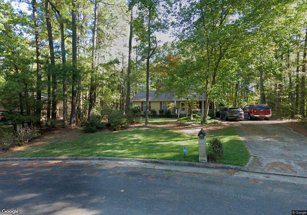
103 Muscadine Ct Durham, NC 27703
South Durham NeighborhoodEstimated Value: $352,000 - $391,000
3
Beds
2
Baths
1,315
Sq Ft
$282/Sq Ft
Est. Value
About This Home
This home is located at 103 Muscadine Ct, Durham, NC 27703 and is currently estimated at $370,960, approximately $282 per square foot. 103 Muscadine Ct is a home located in Durham County with nearby schools including Bethesda Elementary School, John W Neal Middle School, and Southern School of Energy & Sustainability.
Ownership History
Date
Name
Owned For
Owner Type
Purchase Details
Closed on
Apr 30, 1999
Sold by
Daniel Austin Brian and Wife Janet R
Bought by
Thomas Stanley and Thomas Sarah
Current Estimated Value
Home Financials for this Owner
Home Financials are based on the most recent Mortgage that was taken out on this home.
Original Mortgage
$93,600
Outstanding Balance
$24,225
Interest Rate
7.06%
Estimated Equity
$346,735
Create a Home Valuation Report for This Property
The Home Valuation Report is an in-depth analysis detailing your home's value as well as a comparison with similar homes in the area
Home Values in the Area
Average Home Value in this Area
Purchase History
| Date | Buyer | Sale Price | Title Company |
|---|---|---|---|
| Thomas Stanley | $117,000 | -- |
Source: Public Records
Mortgage History
| Date | Status | Borrower | Loan Amount |
|---|---|---|---|
| Open | Thomas Stanley | $93,600 |
Source: Public Records
Tax History
| Year | Tax Paid | Tax Assessment Tax Assessment Total Assessment is a certain percentage of the fair market value that is determined by local assessors to be the total taxable value of land and additions on the property. | Land | Improvement |
|---|---|---|---|---|
| 2025 | $3,824 | $385,758 | $158,625 | $227,133 |
| 2024 | $2,491 | $178,589 | $42,180 | $136,409 |
| 2023 | $2,339 | $178,589 | $42,180 | $136,409 |
| 2022 | $2,286 | $178,589 | $42,180 | $136,409 |
| 2021 | $2,275 | $178,589 | $42,180 | $136,409 |
| 2020 | $2,221 | $178,589 | $42,180 | $136,409 |
| 2019 | $2,221 | $178,589 | $42,180 | $136,409 |
| 2018 | $2,054 | $151,423 | $31,635 | $119,788 |
| 2017 | $2,039 | $151,423 | $31,635 | $119,788 |
| 2016 | $1,970 | $151,423 | $31,635 | $119,788 |
| 2015 | $2,040 | $147,340 | $34,825 | $112,515 |
| 2014 | -- | $147,340 | $34,825 | $112,515 |
Source: Public Records
Map
Nearby Homes
- 12 Sameer Ct
- 334 Westgrove Ct
- 107 Vickery Hill Ct
- 19 Gandhi Dr
- 231 Westgrove Ct
- 5226 Malik Dr
- 136 Torrey Heights Ln
- 458 Brier Summit Place
- 106 Torrey Heights Ln
- 3503 Long Ridge Rd
- 5216 Dilbagh Dr
- 117 Torrey Heights Ln
- 402 Brier Summit Place
- 2214 Tw Alexander Dr
- 2701 Skybrook Ln
- 105 Journey Place
- 3712 Appling Way
- 240 Brier Summit Place
- 117 Brier Ridge Dr
- 1025 Felman Rd
- 2907 Appling Way
- 105 Muscadine Ct
- 5308 Pageford Dr
- 5304 Pageford Dr
- 2915 Appling Way
- 5312 Pageford Dr
- 107 Muscadine Ct
- 2908 Appling Way
- 108 Muscadine Ct
- 2904 Appling Way
- 2912 Appling Way
- 5 Sameer Ct
- 2919 Appling Way
- 7 Sameer Ct
- 3 Sameer Ct
- 106 Muscadine Ct
- 9 Sameer Ct
- 5220 Shagbark Dr
- 1 Sameer Ct
- 5307 Pageford Dr
Your Personal Tour Guide
Ask me questions while you tour the home.