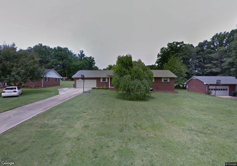
103 N Council Oaks St Morganton, NC 28655
Estimated Value: $285,000 - $326,000
3
Beds
2
Baths
1,800
Sq Ft
$170/Sq Ft
Est. Value
About This Home
This home is located at 103 N Council Oaks St, Morganton, NC 28655 and is currently estimated at $306,770, approximately $170 per square foot. 103 N Council Oaks St is a home located in Burke County with nearby schools including Hillcrest Elementary School, Walter R. Johnson Middle School, and Freedom High School.
Ownership History
Date
Name
Owned For
Owner Type
Purchase Details
Closed on
Aug 25, 2014
Sold by
Carswell Haven
Bought by
York Clifford Ray
Current Estimated Value
Home Financials for this Owner
Home Financials are based on the most recent Mortgage that was taken out on this home.
Original Mortgage
$90,000
Outstanding Balance
$29,196
Interest Rate
4.2%
Mortgage Type
Seller Take Back
Estimated Equity
$277,574
Purchase Details
Closed on
Dec 31, 2009
Sold by
Burleson Vickie and Thompson William Larry
Bought by
Carswell Haven
Create a Home Valuation Report for This Property
The Home Valuation Report is an in-depth analysis detailing your home's value as well as a comparison with similar homes in the area
Home Values in the Area
Average Home Value in this Area
Purchase History
| Date | Buyer | Sale Price | Title Company |
|---|---|---|---|
| York Clifford Ray | $102,500 | None Available | |
| Carswell Haven | -- | None Available |
Source: Public Records
Mortgage History
| Date | Status | Borrower | Loan Amount |
|---|---|---|---|
| Open | York Clifford Ray | $90,000 |
Source: Public Records
Tax History Compared to Growth
Tax History
| Year | Tax Paid | Tax Assessment Tax Assessment Total Assessment is a certain percentage of the fair market value that is determined by local assessors to be the total taxable value of land and additions on the property. | Land | Improvement |
|---|---|---|---|---|
| 2025 | $1,292 | $215,390 | $26,072 | $189,318 |
| 2024 | $1,299 | $215,390 | $26,072 | $189,318 |
| 2023 | $1,294 | $215,390 | $26,072 | $189,318 |
| 2022 | $1,131 | $150,974 | $27,572 | $123,402 |
| 2021 | $1,125 | $150,974 | $27,572 | $123,402 |
| 2020 | $1,121 | $150,974 | $27,572 | $123,402 |
| 2019 | $1,121 | $150,974 | $27,572 | $123,402 |
| 2018 | $1,039 | $136,358 | $27,572 | $108,786 |
| 2017 | $1,039 | $136,358 | $27,572 | $108,786 |
| 2016 | $992 | $136,358 | $27,572 | $108,786 |
| 2015 | $989 | $136,358 | $27,572 | $108,786 |
| 2014 | $988 | $136,358 | $27,572 | $108,786 |
| 2013 | $988 | $136,358 | $27,572 | $108,786 |
Source: Public Records
Map
Nearby Homes
- 428 Bost Rd
- 420 Bost Rd
- 307 Maplewood Dr
- 204 Vfw Rd
- 124 Polly St Unit B
- 104 Belvedere Dr
- 211 Shuffler Rd
- 105 Winding Creek Dr
- 101 Woodsway Ln
- 209 Northwood Dr
- 215 Edgewood Cir
- 211 Horse Shoe Ln
- 115 Apple Blossom Dr
- 1342 N Green St
- 0 State 181
- 1847 Ford Ln Unit 17
- 106 Woodside Place
- 1101 N Green St Unit 35
- 1739 Plantation Loop
- 311 Mull Ln
- 101 N Council Oaks St
- 105 N Council Oaks St
- 100 Maplewood Dr
- 108 Woodcliff Dr
- 107 N Council Oaks St
- 110 Woodcliff Dr
- 104 N Council Oaks St
- 100 N Council Oaks St
- 104 Woodcliff Dr
- 102 Maplewood Dr
- 112 Woodcliff Dr
- 101 Maplewood Dr
- 104 Maplewood Dr
- 110 N Council Oaks St
- 103 Maplewood Dr
- 501 Bost Rd
- 107 Woodcliff Dr
- 109 Woodcliff Dr
- 100 Woodcliff Dr
- 105 Woodcliff Dr