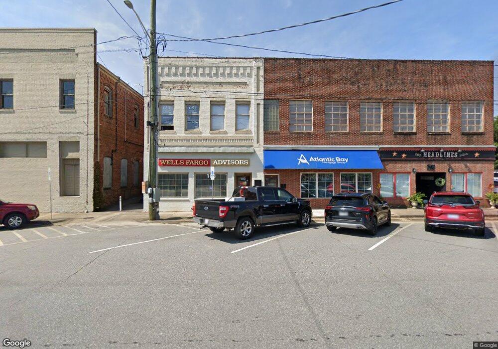
103 N Green St Morganton, NC 28655
Estimated Value: $342,000
--
Bed
2
Baths
3,900
Sq Ft
$88/Sq Ft
Est. Value
About This Home
This home is located at 103 N Green St, Morganton, NC 28655 and is currently estimated at $342,000, approximately $87 per square foot. 103 N Green St is a home located in Burke County with nearby schools including Hillcrest Elementary School, Walter R. Johnson Middle School, and Freedom High School.
Ownership History
Date
Name
Owned For
Owner Type
Purchase Details
Closed on
Dec 28, 2011
Sold by
Kincaid Linda D and Blanton Evden B
Bought by
Belote James R and The James R Belote Trust
Current Estimated Value
Purchase Details
Closed on
Jan 25, 2010
Sold by
Belote James R
Bought by
Kincaid Belote Trust
Create a Home Valuation Report for This Property
The Home Valuation Report is an in-depth analysis detailing your home's value as well as a comparison with similar homes in the area
Home Values in the Area
Average Home Value in this Area
Purchase History
| Date | Buyer | Sale Price | Title Company |
|---|---|---|---|
| Belote James R | -- | Chicago Title Insurance Co | |
| Kincaid Belote Trust | -- | Chicago Title Insurance Co |
Source: Public Records
Tax History Compared to Growth
Tax History
| Year | Tax Paid | Tax Assessment Tax Assessment Total Assessment is a certain percentage of the fair market value that is determined by local assessors to be the total taxable value of land and additions on the property. | Land | Improvement |
|---|---|---|---|---|
| 2025 | $1,535 | $276,536 | $26,004 | $250,532 |
| 2024 | $1,549 | $276,536 | $26,004 | $250,532 |
| 2023 | $1,549 | $276,536 | $26,004 | $250,532 |
| 2022 | $965 | $138,822 | $21,670 | $117,152 |
| 2021 | $965 | $138,822 | $21,670 | $117,152 |
| 2020 | $946 | $138,822 | $21,670 | $117,152 |
| 2019 | $965 | $138,822 | $21,670 | $117,152 |
| 2018 | $848 | $122,011 | $21,670 | $100,341 |
| 2017 | $848 | $122,011 | $21,670 | $100,341 |
| 2016 | $830 | $122,011 | $21,670 | $100,341 |
| 2015 | $830 | $122,011 | $21,670 | $100,341 |
| 2014 | $830 | $122,011 | $21,670 | $100,341 |
| 2013 | $830 | $122,011 | $21,670 | $100,341 |
Source: Public Records
Map
Nearby Homes
- 118 W Union St Unit A
- 203 Beacon Ave
- 302 White St
- VL E Concord St
- 214 Howard St
- 710 Bouchelle St
- 406 Lenoir St
- 00 S Anderson St
- 244 N Anderson St
- 209 Park St
- 218 Davis Dr
- 609 E Concord St
- 103 Ramsey St
- 718 E Union St
- 112A Wesley Dr Unit B
- 231 Davis Dr
- 102 Stephens Dr
- Lot 2 Lane St Unit 2
- Lot 5 Lane St Unit 5
- Lot 6 Lane St Unit 6
- 118, 120, 124 N Sterling St
- 102 E Union St
- 0 Route 181 Unit Tract 2 3491258
- 0 Route 181
- 205 E Union St
- V/Lot A Route 181
- 100 Queen St
- 102 Queen St
- 104 Queen St
- 103 S Green St
- 118 W Union St
- 118 W Union St
- 114 S Sterling St
- 118C W Union St
- 118 W Union St Unit B
- 118C W Union St
- 118 W Union St Unit B
- 124 W Union St
- 202 Avery Ave
- 00 Wild Turkey Way