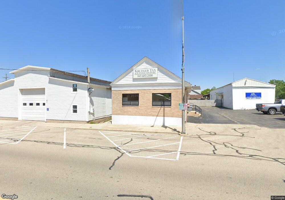
103 N State St Hampshire, IL 60140
Estimated Value: $579,131
--
Bed
--
Bath
--
Sq Ft
0.82
Acres
About This Home
This home is located at 103 N State St, Hampshire, IL 60140 and is currently estimated at $579,131. 103 N State St is a home located in Kane County with nearby schools including Hampshire Elementary School, Hampshire Middle School, and Hampshire High School.
Ownership History
Date
Name
Owned For
Owner Type
Purchase Details
Closed on
Mar 27, 2012
Sold by
Jdg Llc
Bought by
Krueger Storage Llc
Current Estimated Value
Purchase Details
Closed on
Jul 26, 2001
Sold by
J H Patterson Company
Bought by
Jdg Llc
Home Financials for this Owner
Home Financials are based on the most recent Mortgage that was taken out on this home.
Original Mortgage
$240,000
Interest Rate
7.25%
Mortgage Type
Commercial
Create a Home Valuation Report for This Property
The Home Valuation Report is an in-depth analysis detailing your home's value as well as a comparison with similar homes in the area
Home Values in the Area
Average Home Value in this Area
Purchase History
| Date | Buyer | Sale Price | Title Company |
|---|---|---|---|
| Krueger Storage Llc | -- | Chicago Title Insurance Co | |
| Jdg Llc | -- | Chicago Title Insurance Co |
Source: Public Records
Mortgage History
| Date | Status | Borrower | Loan Amount |
|---|---|---|---|
| Previous Owner | Jdg Llc | $240,000 |
Source: Public Records
Tax History Compared to Growth
Tax History
| Year | Tax Paid | Tax Assessment Tax Assessment Total Assessment is a certain percentage of the fair market value that is determined by local assessors to be the total taxable value of land and additions on the property. | Land | Improvement |
|---|---|---|---|---|
| 2024 | $11,475 | $156,780 | $57,776 | $99,004 |
| 2023 | $11,028 | $141,027 | $51,971 | $89,056 |
| 2022 | $10,392 | $129,608 | $47,763 | $81,845 |
| 2021 | $9,905 | $122,260 | $45,055 | $77,205 |
| 2020 | $9,442 | $115,028 | $43,824 | $71,204 |
| 2019 | $9,330 | $111,267 | $42,391 | $68,876 |
| 2018 | $9,154 | $105,128 | $40,052 | $65,076 |
| 2017 | $8,911 | $100,968 | $38,467 | $62,501 |
| 2016 | $8,794 | $94,913 | $36,160 | $58,753 |
| 2015 | -- | $88,217 | $33,609 | $54,608 |
| 2014 | -- | $85,308 | $32,501 | $52,807 |
| 2013 | -- | $90,763 | $34,579 | $56,184 |
Source: Public Records
Map
Nearby Homes
- 862 Briar Glen Ct
- 820 Briar Glen Ct
- 804 Briar Glen Ct
- 125 Mill Ave
- 190 Grove Ave
- Lot 0 N State St
- 263 E Jackson Ave
- 421 Klick St
- 704 S State St
- 286 Wild Prairie Pointe
- 284 Wild Prairie Pointe
- 283 Wild Prairie Pointe
- 282 Wild Prairie Pointe
- 895 S State St
- 318 Old Mill Ln
- 531 W Meadowdale Cir
- 1655 Windsor Rd
- 602 Woodside Terrace
- 666 Savanna Dr
- 714 Wild Prairie Point
- 187 Keyes Ave
- 191 Keyes Ave
- 122 Washington Ave
- 138 Washington Ave
- S State St
- S State St
- 122 N State St
- 227 Keyes Ave
- 148 Washington Ave
- 120 Washington Ave
- 202 N State St
- 231 Keyes Ave
- 271 N State St
- 129 S State St
- 258 N State St
- 124 S State St
- 220 Keyes Ave
- 106 Mill Ave
- 279 N State St
- 141 S State St