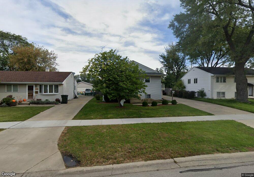
103 N Warrington Rd Des Plaines, IL 60016
Estimated Value: $351,000 - $401,099
3
Beds
2
Baths
1,036
Sq Ft
$363/Sq Ft
Est. Value
About This Home
This home is located at 103 N Warrington Rd, Des Plaines, IL 60016 and is currently estimated at $376,275, approximately $363 per square foot. 103 N Warrington Rd is a home located in Cook County with nearby schools including Terrace Elementary School, Chippewa Middle School, and Maine West High School.
Ownership History
Date
Name
Owned For
Owner Type
Purchase Details
Closed on
Jul 2, 1999
Sold by
Burton Anita A
Bought by
Dorado Jesus and Dorado Imelda
Current Estimated Value
Home Financials for this Owner
Home Financials are based on the most recent Mortgage that was taken out on this home.
Original Mortgage
$157,950
Outstanding Balance
$56,594
Interest Rate
11.1%
Estimated Equity
$319,681
Purchase Details
Closed on
Oct 8, 1998
Sold by
Burton Larry C
Bought by
Burton Anita A
Create a Home Valuation Report for This Property
The Home Valuation Report is an in-depth analysis detailing your home's value as well as a comparison with similar homes in the area
Home Values in the Area
Average Home Value in this Area
Purchase History
| Date | Buyer | Sale Price | Title Company |
|---|---|---|---|
| Dorado Jesus | $175,500 | -- | |
| Burton Anita A | -- | -- |
Source: Public Records
Mortgage History
| Date | Status | Borrower | Loan Amount |
|---|---|---|---|
| Open | Dorado Jesus | $157,950 |
Source: Public Records
Tax History Compared to Growth
Tax History
| Year | Tax Paid | Tax Assessment Tax Assessment Total Assessment is a certain percentage of the fair market value that is determined by local assessors to be the total taxable value of land and additions on the property. | Land | Improvement |
|---|---|---|---|---|
| 2024 | $6,772 | $29,000 | $6,194 | $22,806 |
| 2023 | $6,582 | $29,000 | $6,194 | $22,806 |
| 2022 | $6,582 | $29,000 | $6,194 | $22,806 |
| 2021 | $4,035 | $16,457 | $5,100 | $11,357 |
| 2020 | $4,036 | $16,457 | $5,100 | $11,357 |
| 2019 | $4,053 | $18,491 | $5,100 | $13,391 |
| 2018 | $5,356 | $21,343 | $4,372 | $16,971 |
| 2017 | $5,279 | $21,343 | $4,372 | $16,971 |
| 2016 | $5,237 | $21,343 | $4,372 | $16,971 |
| 2015 | $5,194 | $19,804 | $3,825 | $15,979 |
| 2014 | $5,101 | $19,804 | $3,825 | $15,979 |
| 2013 | $4,956 | $19,804 | $3,825 | $15,979 |
Source: Public Records
Map
Nearby Homes
- 154 Cornell Ave
- 304 Amherst Ave
- 47 S Josephine Ct
- 633 S George St
- 332 S Cumberland Pkwy
- 316 S Mount Prospect Rd
- 52 N 6th Ave
- 220 E Washington St
- 758 Hanbury Dr Unit 66
- 760 Hanbury Dr Unit 65
- 39 N 5th Ave
- 214 S Mount Prospect Rd
- 407 E Berkshire Ln
- 549 E Lincoln St Unit 549
- 21 W Bradley St
- 511 Bedford Ln
- 500 S Owen St
- 955 Rand Rd
- 1100 N Boxwood Dr Unit P4P5P6
- 450 Little Path Rd
- 105 N Warrington Rd
- 97 N Warrington Rd
- 109 N Warrington Rd
- 93 N Warrington Rd
- 115 N Warrington Rd
- 87 N Warrington Rd
- 92 N Warrington Rd
- 88 N Warrington Rd
- 94 N Warrington Rd
- 84 N Warrington Rd
- 121 N Warrington Rd
- 81 N Warrington Rd
- 96 N Warrington Rd
- 78 N Warrington Rd
- 125 N Warrington Rd
- 104 N Warrington Rd
- 72 N Warrington Rd
- 75 N Warrington Rd
- 63 N Meyer Ct
- 67 N Meyer Ct