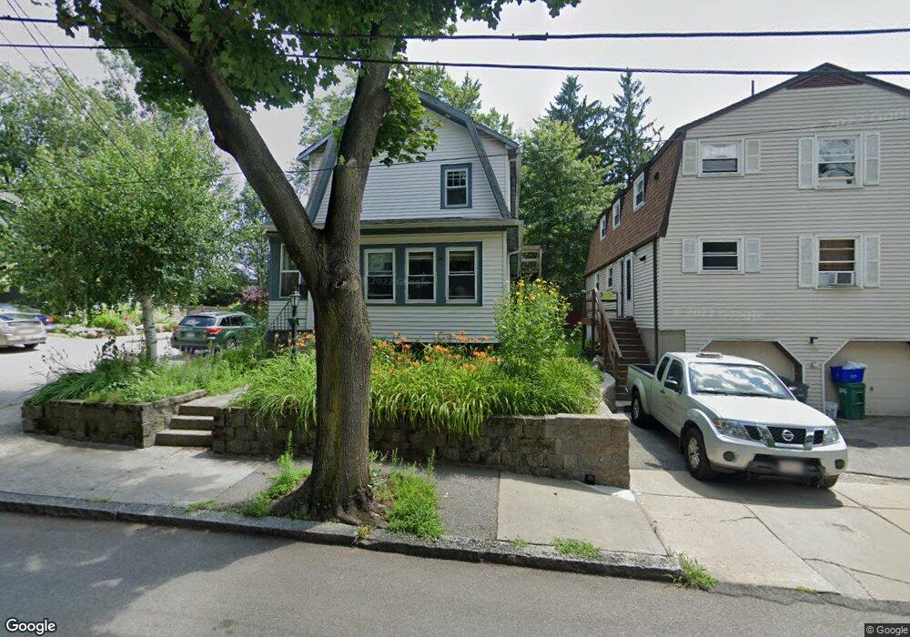
103 Normandy Ave Cambridge, MA 02138
Estimated Value: $967,000 - $2,219,000
3
Beds
3
Baths
1,908
Sq Ft
$787/Sq Ft
Est. Value
About This Home
This home is located at 103 Normandy Ave, Cambridge, MA 02138 and is currently estimated at $1,502,073, approximately $787 per square foot. 103 Normandy Ave is a home located in Middlesex County with nearby schools including Fayerweather Street School.
Ownership History
Date
Name
Owned For
Owner Type
Purchase Details
Closed on
Dec 8, 1995
Sold by
Dudley Amy F and Wallace Kevin P
Bought by
Murphy Michael B and Murphy Susan M
Current Estimated Value
Purchase Details
Closed on
Aug 6, 1993
Sold by
Dudley Francis L and Dudley Jane
Bought by
Dudley Amy F and Wallace Kevin P
Create a Home Valuation Report for This Property
The Home Valuation Report is an in-depth analysis detailing your home's value as well as a comparison with similar homes in the area
Purchase History
| Date | Buyer | Sale Price | Title Company |
|---|---|---|---|
| Murphy Michael B | $225,000 | -- | |
| Murphy Michael B | $225,000 | -- | |
| Dudley Amy F | $187,500 | -- |
Source: Public Records
Mortgage History
| Date | Status | Borrower | Loan Amount |
|---|---|---|---|
| Open | Dudley Amy F | $200,000 | |
| Closed | Dudley Amy F | $150,000 | |
| Closed | Dudley Amy F | $184,000 |
Source: Public Records
Tax History
| Year | Tax Paid | Tax Assessment Tax Assessment Total Assessment is a certain percentage of the fair market value that is determined by local assessors to be the total taxable value of land and additions on the property. | Land | Improvement |
|---|---|---|---|---|
| 2025 | $7,772 | $1,223,900 | $507,300 | $716,600 |
| 2024 | $7,212 | $1,218,200 | $528,400 | $689,800 |
| 2023 | $6,704 | $1,144,100 | $539,000 | $605,100 |
| 2022 | $6,391 | $1,079,600 | $532,700 | $546,900 |
| 2021 | $6,208 | $1,061,200 | $534,600 | $526,600 |
| 2020 | $5,952 | $1,035,100 | $518,800 | $516,300 |
| 2019 | $5,640 | $949,500 | $463,100 | $486,400 |
| 2018 | $5,291 | $841,100 | $390,000 | $451,100 |
| 2017 | $5,150 | $793,600 | $365,600 | $428,000 |
| 2016 | $5,000 | $715,300 | $316,900 | $398,400 |
| 2015 | $4,946 | $632,500 | $278,600 | $353,900 |
| 2014 | $4,700 | $560,900 | $243,700 | $317,200 |
Source: Public Records
Map
Nearby Homes
- 23 Loomis St Unit 23
- 55 S Normandy Ave
- 95 Griswold St Unit 95
- 93 Griswold St Unit 93
- 63 Loomis St Unit 63
- 4 Merrill Ave
- 50 Hamilton Rd
- 46 Hamilton Rd
- 17 Smith Place
- 73 Trowbridge St Unit 73A
- 73 Trowbridge St Unit 73B
- 48 Concord Ave
- 30 Stewart Terrace
- 314 Channing Rd
- 75 Statler Rd
- 181 Grove St
- 1 Spinney Terrace
- 200 Claflin St
- 3 Seagrave Rd
- 147 Claflin St
- 99 Normandy Ave
- 99 Normandy Ave
- 99 Normandy Ave Unit 2
- 93 Normandy Ave
- 7 Normandy Terrace
- 17 Normandy Terrace
- 21 Loomis St
- 25 Loomis St
- 89 Normandy Ave
- 89 Normandy Ave Unit 2
- 89 Normandy Ave Unit 1
- 15 Loomis St
- 104 Normady Unit 1
- 104 Normandy Ave
- 31 Loomis St
- 96 Normandy Ave
- 13 Loomis St
- 98 Normandy Ave
- 11 Loomis St
- 39-39 Loomis St Unit 39