Estimated Value: $2,635,000 - $3,955,000
4
Beds
3
Baths
3,942
Sq Ft
$819/Sq Ft
Est. Value
About This Home
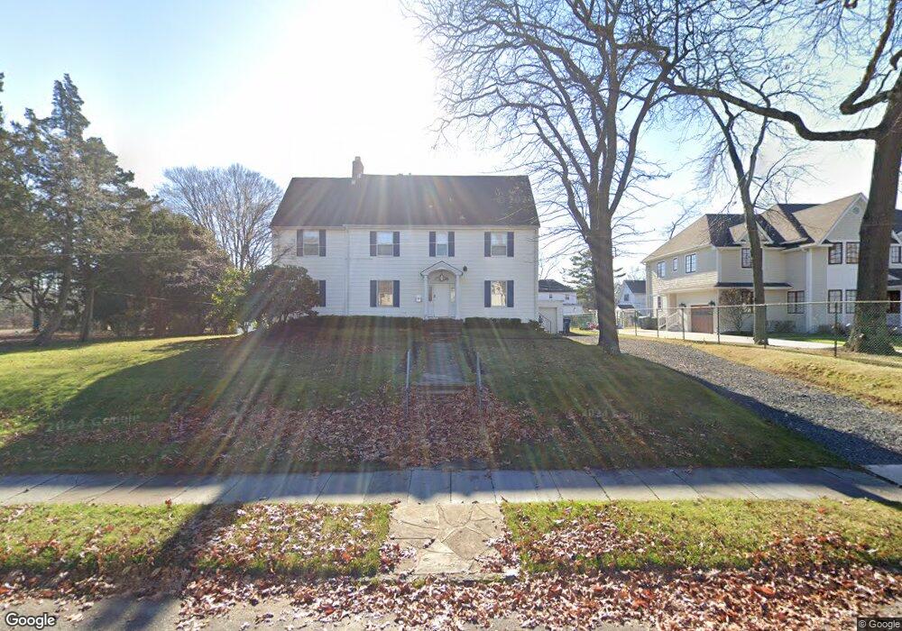
This home is located at 103 Parker Ave, Deal, NJ 07723 and is currently estimated at $3,227,628, approximately $818 per square foot. 103 Parker Ave is a home located in Monmouth County with nearby schools including Ocean Township High School, Hope Academy Charter School, and St. Mary of the Assumption School.
Ownership History
Date
Name
Owned For
Owner Type
Purchase Details
Closed on
Jan 30, 2019
Sold by
Wahba Michael
Bought by
Jr Massc Llc
Current Estimated Value
Purchase Details
Closed on
Feb 6, 2017
Sold by
Morris Hanan
Bought by
Wahba Michael
Home Financials for this Owner
Home Financials are based on the most recent Mortgage that was taken out on this home.
Original Mortgage
$735,000
Interest Rate
4.19%
Purchase Details
Closed on
May 27, 1987
Bought by
Hanan Morris and Hanan Fortune R
Create a Home Valuation Report for This Property
The Home Valuation Report is an in-depth analysis detailing your home's value as well as a comparison with similar homes in the area
Home Values in the Area
Average Home Value in this Area
Purchase History
| Date | Buyer | Sale Price | Title Company |
|---|---|---|---|
| Jr Massc Llc | -- | Riverside Abstract Llc | |
| Wahba Michael | -- | -- | |
| Hanan Morris | $325,000 | -- |
Source: Public Records
Mortgage History
| Date | Status | Borrower | Loan Amount |
|---|---|---|---|
| Previous Owner | Wahba Michael | $735,000 | |
| Previous Owner | Wahba Michael | -- |
Source: Public Records
Tax History Compared to Growth
Tax History
| Year | Tax Paid | Tax Assessment Tax Assessment Total Assessment is a certain percentage of the fair market value that is determined by local assessors to be the total taxable value of land and additions on the property. | Land | Improvement |
|---|---|---|---|---|
| 2025 | $30,924 | $2,425,500 | $1,752,000 | $673,500 |
| 2024 | $27,543 | $2,168,600 | $1,552,000 | $616,600 |
| 2023 | $27,543 | $1,801,400 | $1,202,000 | $599,400 |
| 2022 | $28,891 | $1,753,700 | $1,183,000 | $570,700 |
| 2021 | $28,891 | $1,470,300 | $1,007,000 | $463,300 |
| 2020 | $25,091 | $1,260,200 | $838,000 | $422,200 |
| 2019 | $23,608 | $1,157,800 | $738,000 | $419,800 |
| 2018 | $22,580 | $1,078,300 | $678,000 | $400,300 |
| 2017 | $19,796 | $941,300 | $563,000 | $378,300 |
| 2016 | $17,275 | $738,900 | $527,300 | $211,600 |
| 2015 | $16,937 | $733,500 | $527,300 | $206,200 |
| 2014 | $16,527 | $725,500 | $527,300 | $198,200 |
Source: Public Records
Map
Nearby Homes
- 10 Campbell Ct
- 116 Phillips Ave
- 1 Country Club Dr
- 103 Poplar Ave
- 408 Crosby Ave
- 460 Runyan Ave
- 160 Ocean Ave
- 504 Crosby Ave
- 0 Overbrook Ave
- 328 Elberon Blvd
- 404 Brookside Ave
- 18 Lady Bess Dr
- 267 Roosevelt Ave
- 306 Roosevelt Ave
- 296 Garfield Ave
- 567 Deal Pkwy
- 210 Larchwood Ave
- 510 Blanchard Pkwy
- 48 Hathaway Ave
- 271 Jerome Ave
- 105 Parker Ave
- 106 Runyan Ave
- 104 Runyan Ave
- 107 Parker Ave
- 108 Runyan Ave
- 102 Runyan Ave
- 110 Runyan Ave
- 330 Holly Terrace
- 100 Parker Ave
- 102 Parker Ave
- 106 Parker Ave
- 300 Holly Terrace
- 448 Holly Terrace
- 91 Lehman Ave
- 92 Parker Ave
- 107 Runyan Ave
- 90 Lehman Ave
- 105 Runyan Ave
- 333 Holly Terrace
- 109 Runyan Ave