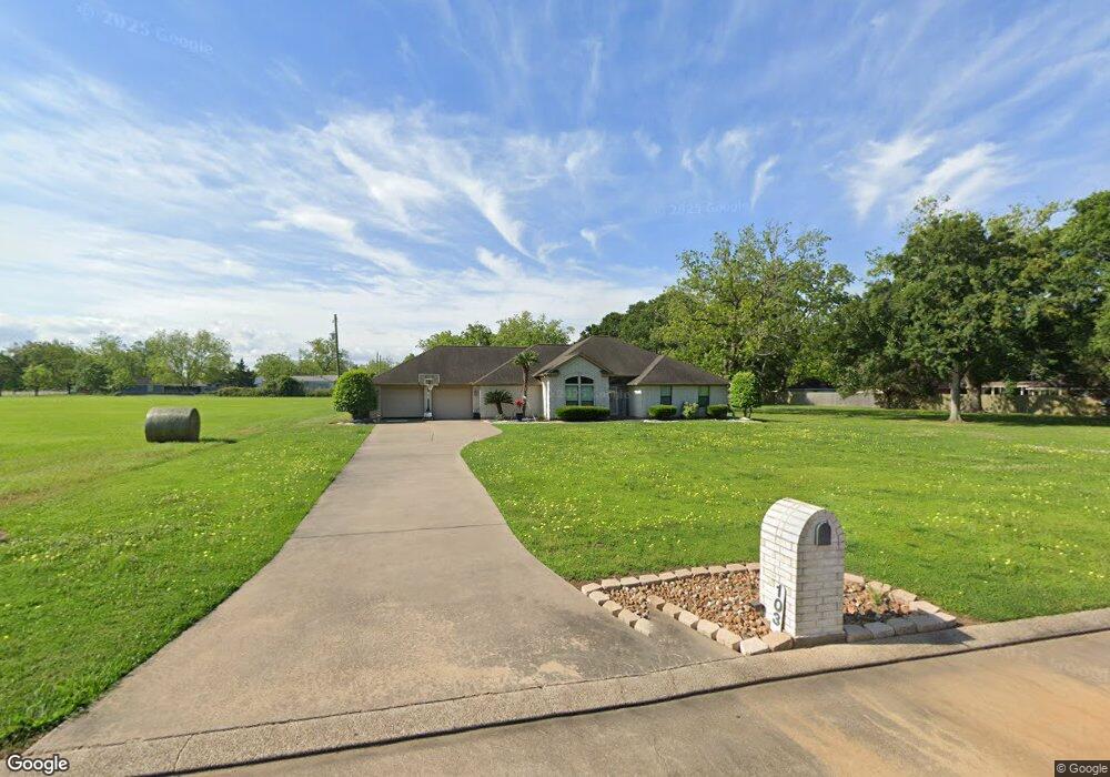
103 Pecan Meadows Dr Brazoria, TX 77422
Estimated Value: $247,000 - $312,825
--
Bed
1
Bath
1,841
Sq Ft
$156/Sq Ft
Est. Value
About This Home
This home is located at 103 Pecan Meadows Dr, Brazoria, TX 77422 and is currently estimated at $287,706, approximately $156 per square foot. 103 Pecan Meadows Dr is a home located in Brazoria County.
Ownership History
Date
Name
Owned For
Owner Type
Purchase Details
Closed on
Jul 17, 2015
Sold by
Davis Leslie A and Davis Judy Wade
Bought by
Sohrt Kimberly Gail and Sohrt Eddie Joseph
Current Estimated Value
Home Financials for this Owner
Home Financials are based on the most recent Mortgage that was taken out on this home.
Original Mortgage
$237,500
Outstanding Balance
$185,253
Interest Rate
3.87%
Mortgage Type
Adjustable Rate Mortgage/ARM
Estimated Equity
$102,453
Create a Home Valuation Report for This Property
The Home Valuation Report is an in-depth analysis detailing your home's value as well as a comparison with similar homes in the area
Home Values in the Area
Average Home Value in this Area
Purchase History
| Date | Buyer | Sale Price | Title Company |
|---|---|---|---|
| Sohrt Kimberly Gail | -- | None Available |
Source: Public Records
Mortgage History
| Date | Status | Borrower | Loan Amount |
|---|---|---|---|
| Open | Sohrt Kimberly Gail | $237,500 |
Source: Public Records
Tax History Compared to Growth
Tax History
| Year | Tax Paid | Tax Assessment Tax Assessment Total Assessment is a certain percentage of the fair market value that is determined by local assessors to be the total taxable value of land and additions on the property. | Land | Improvement |
|---|---|---|---|---|
| 2025 | $1,968 | $235,520 | $64,456 | $171,064 |
| 2023 | $1,968 | $225,000 | $68,150 | $156,850 |
| 2022 | $3,539 | $224,210 | $39,510 | $184,700 |
| 2021 | $3,815 | $238,620 | $32,920 | $205,700 |
| 2020 | $3,710 | $206,870 | $32,930 | $173,940 |
| 2019 | $3,529 | $192,760 | $21,370 | $171,390 |
| 2018 | $3,603 | $195,300 | $21,370 | $173,930 |
| 2017 | $3,757 | $201,580 | $19,180 | $182,400 |
| 2016 | $3,757 | $201,580 | $19,180 | $182,400 |
| 2015 | $2,227 | $171,880 | $15,990 | $155,890 |
| 2014 | $2,227 | $144,800 | $15,990 | $128,810 |
Source: Public Records
Map
Nearby Homes
- 1970 Fm 521 Rd
- 2082 Fm 521 Rd
- 1561 County Road 797
- 229 Yaupon Dr
- 523 Lazy Ln
- 2560 Cr-769c
- 0 Pecan Dr
- 307 Avenue G
- 232 Magnolia St
- 1208 S Brooks St
- 2541 Cr 769c
- 34654 Fm 521 Rd
- 8922 Fm 521 Rd
- 409 Carlton St
- 230 E New York St
- 706 E New York St
- 549 E New York St
- 4773 County Road 652
- 0 N Highway 36
- 0 Cr-747a
- 111 Pecan Meadows Dr
- 112 Pecan Meadows Dr
- 1496 Fm 521 Rd
- 1470 Fm 521 Rd
- 115 Pecan Meadows Dr
- 1300 Fm 521 Rd
- 0 Pecan Meadows Dr
- 2062 County Road 315
- 14701 S Highway 36
- 1976 Fm 521 Rd
- 0 S Fm 521 S Unit 70911120
- 1504 County Road 797
- 1506 County Road 797
- 1510 County Road 797
- 1238 Fm 521 Rd
- 1510 Cr 797
- 1512 County Road 797
- 1516 County Road 797
- 1516 Cr 797
- 2031 Fm 521 Rd