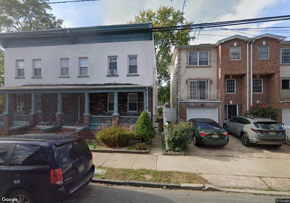
103 Pershing Ave Carteret, NJ 07008
Estimated Value: $512,000 - $671,000
4
Beds
4
Baths
2,359
Sq Ft
$262/Sq Ft
Est. Value
About This Home
This home is located at 103 Pershing Ave, Carteret, NJ 07008 and is currently estimated at $616,958, approximately $261 per square foot. 103 Pershing Ave is a home located in Middlesex County with nearby schools including Carteret High School and St Joseph School.
Ownership History
Date
Name
Owned For
Owner Type
Purchase Details
Closed on
Dec 5, 2008
Sold by
M&S Developers Llc
Bought by
Singh Jasvir and Kaur Kulvir
Current Estimated Value
Home Financials for this Owner
Home Financials are based on the most recent Mortgage that was taken out on this home.
Original Mortgage
$23,000
Outstanding Balance
$6,489
Interest Rate
7.37%
Mortgage Type
Unknown
Estimated Equity
$610,469
Create a Home Valuation Report for This Property
The Home Valuation Report is an in-depth analysis detailing your home's value as well as a comparison with similar homes in the area
Home Values in the Area
Average Home Value in this Area
Purchase History
| Date | Buyer | Sale Price | Title Company |
|---|---|---|---|
| Singh Jasvir | $335,000 | Multiple |
Source: Public Records
Mortgage History
| Date | Status | Borrower | Loan Amount |
|---|---|---|---|
| Open | Singh Jasvir | $23,000 | |
| Open | Singh Jasvir | $257,600 |
Source: Public Records
Tax History
| Year | Tax Paid | Tax Assessment Tax Assessment Total Assessment is a certain percentage of the fair market value that is determined by local assessors to be the total taxable value of land and additions on the property. | Land | Improvement |
|---|---|---|---|---|
| 2025 | $6,939 | $517,000 | $271,900 | $245,100 |
| 2024 | $6,754 | $225,500 | $57,500 | $168,000 |
Source: Public Records
Map
Nearby Homes
- 105 Pershing Ave
- 99 Pershing Ave Unit 101
- 57 Pulaski Ave
- 34 Emerson St
- 53 Pulaski Ave
- 30 Emerson St
- 63 Pulaski Ave
- 93 Pershing Ave
- 26 Emerson St
- 67 Pulaski Ave
- 22 Emerson St
- 100 Pershing Ave Unit 3fl
- 100 Pershing Ave Unit 11
- 100 Pershing Ave Unit 2
- 100 Pershing Ave Unit 2G
- 89 Pershing Ave
- 20 Emerson St
- 117 Pershing Ave
- 85 Pershing Ave
- 18 Emerson St