103 Pollard Ln Poplar Bluff, MO 63901
Estimated Value: $260,000 - $574,000
Studio
--
Bath
2,838
Sq Ft
$133/Sq Ft
Est. Value
About This Home
This home is located at 103 Pollard Ln, Poplar Bluff, MO 63901 and is currently estimated at $376,991, approximately $132 per square foot. 103 Pollard Ln is a home with nearby schools including Oak Grove Elementary School, Poplar Bluff Fifth & Sixth Grade Center, and Poplar Bluff Junior High School.
Ownership History
Date
Name
Owned For
Owner Type
Purchase Details
Closed on
Jun 28, 2013
Sold by
Hess Carol D and Hess Paul F
Bought by
Statler Adam and Statler Jennifer
Current Estimated Value
Home Financials for this Owner
Home Financials are based on the most recent Mortgage that was taken out on this home.
Original Mortgage
$141,269
Outstanding Balance
$99,410
Interest Rate
3.63%
Mortgage Type
Future Advance Clause Open End Mortgage
Estimated Equity
$277,581
Create a Home Valuation Report for This Property
The Home Valuation Report is an in-depth analysis detailing your home's value as well as a comparison with similar homes in the area
Purchase History
| Date | Buyer | Sale Price | Title Company |
|---|---|---|---|
| Statler Adam | -- | None Available |
Source: Public Records
Mortgage History
| Date | Status | Borrower | Loan Amount |
|---|---|---|---|
| Open | Statler Adam | $141,269 |
Source: Public Records
Tax History
| Year | Tax Paid | Tax Assessment Tax Assessment Total Assessment is a certain percentage of the fair market value that is determined by local assessors to be the total taxable value of land and additions on the property. | Land | Improvement |
|---|---|---|---|---|
| 2025 | $1,645 | $37,830 | $0 | $0 |
| 2024 | $16 | $34,970 | $0 | $0 |
| 2023 | $1,557 | $34,970 | $0 | $0 |
| 2022 | $1,504 | $33,830 | $0 | $0 |
| 2021 | $1,504 | $33,830 | $0 | $0 |
| 2020 | $1,422 | $31,490 | $0 | $0 |
| 2019 | $1,421 | $31,490 | $0 | $0 |
| 2018 | $1,421 | $31,490 | $0 | $0 |
| 2017 | -- | $31,490 | $0 | $0 |
| 2016 | -- | $31,490 | $0 | $0 |
| 2015 | -- | $31,490 | $0 | $0 |
| 2014 | -- | $29,380 | $0 | $0 |
| 2012 | $1,118 | $29,380 | $0 | $0 |
Source: Public Records
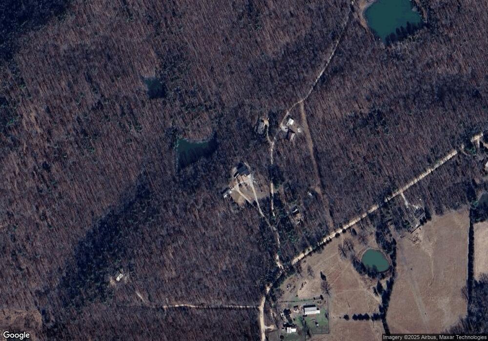
Map
Nearby Homes
- 566 County Road 422
- 9711 Highway Pp
- 139 County Road 425
- 1181 Highway 60 W
- 4 Woodland Heights W
- 9 Woodland Heights W
- 14 Woodland Heights W
- 6 Woodland Heights W
- 5 Woodland Heights W
- 3 Woodland Heights W
- 13 Woodland Heights W
- 10 Woodland Heights W
- 16 Woodland Heights W
- 11 Woodland Heights W
- 15 Woodland Heights W
- 2 Woodland Heights W
- 1 Woodland Heights W
- 6708 Brown Ln
- 16 Boulder Trail
- 0 Boulder Trail
- 149 Pollard Ln
- 172 Pollard Ln
- 62 Pollard Ln
- 1735 County Road 421
- 171 Settlers Ln
- 1412 County Road 421
- 2282 County Road 423
- 2237 County Road 423
- 1647 County Road 423
- 1974 County Road 421
- 2296 County Road 423
- 2176 County Road 421
- 2271 County Road 423
- 0 County Road 423
- 2233 County Road 421
- 1516 County Road 421
- 0 Lots 6&7 Cane Creek Valley Estate Unit 20072888
- 2320 County Road 423
- 1121 County Road 421
- 1202 County Road 420
Your Personal Tour Guide
Ask me questions while you tour the home.