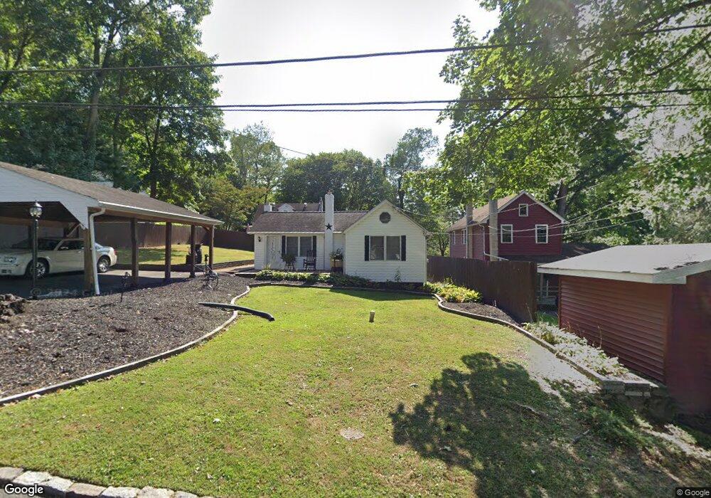
103 Poplar Ave Aston, PA 19014
Estimated Value: $230,577 - $321,000
2
Beds
1
Bath
894
Sq Ft
$327/Sq Ft
Est. Value
About This Home
This home is located at 103 Poplar Ave, Aston, PA 19014 and is currently estimated at $291,894, approximately $326 per square foot. 103 Poplar Ave is a home located in Delaware County with nearby schools including The Christian Academy.
Ownership History
Date
Name
Owned For
Owner Type
Purchase Details
Closed on
May 30, 2024
Sold by
Bruni Louis E
Bought by
Waite Carol L
Current Estimated Value
Purchase Details
Closed on
Mar 18, 2016
Sold by
Waite Carol L
Bought by
Waite Carol L and Bruni Louis E
Purchase Details
Closed on
May 31, 2001
Sold by
Waite Robert J
Bought by
Waite Carol L
Purchase Details
Closed on
Oct 11, 2000
Sold by
Waite Carol L and Estate Of Margaret M Waite
Bought by
Waite Robert J
Create a Home Valuation Report for This Property
The Home Valuation Report is an in-depth analysis detailing your home's value as well as a comparison with similar homes in the area
Home Values in the Area
Average Home Value in this Area
Purchase History
| Date | Buyer | Sale Price | Title Company |
|---|---|---|---|
| Waite Carol L | -- | None Listed On Document | |
| Waite Carol L | -- | Attorney | |
| Waite Carol L | -- | -- | |
| Waite Robert J | -- | -- |
Source: Public Records
Tax History Compared to Growth
Tax History
| Year | Tax Paid | Tax Assessment Tax Assessment Total Assessment is a certain percentage of the fair market value that is determined by local assessors to be the total taxable value of land and additions on the property. | Land | Improvement |
|---|---|---|---|---|
| 2025 | $3,279 | $126,380 | $46,950 | $79,430 |
| 2024 | $3,279 | $126,380 | $46,950 | $79,430 |
| 2023 | $3,132 | $126,380 | $46,950 | $79,430 |
| 2022 | $3,021 | $126,380 | $46,950 | $79,430 |
| 2021 | $4,661 | $126,380 | $46,950 | $79,430 |
| 2020 | $3,032 | $74,240 | $30,220 | $44,020 |
| 2019 | $2,974 | $74,240 | $30,220 | $44,020 |
| 2018 | $2,848 | $74,240 | $0 | $0 |
| 2017 | $2,787 | $74,240 | $0 | $0 |
| 2016 | $407 | $74,240 | $0 | $0 |
| 2015 | $407 | $74,240 | $0 | $0 |
| 2014 | $407 | $74,240 | $0 | $0 |
Source: Public Records
Map
Nearby Homes
- 21 Hoag Ln
- 220 Spring Valley Way
- 21 Eusden Dr
- 108 Grace Ln
- 305 Crozerville Rd
- 505 Schick Rd
- 887 Red Hill Rd
- 21 Cathy Ln
- 268 Miley Rd Unit 268
- 216 Park Dr
- 8 Travelo Ln
- 2370 Crestview Ln
- 440 Derry Dr Unit 440
- 184 Fifth Ave
- 182 Fifth Ave
- 226 Moria Place
- 48 Bishop Dr
- 3 Rolling Heights Ln
- 214 Bishop Dr
- 213 Bishop Dr