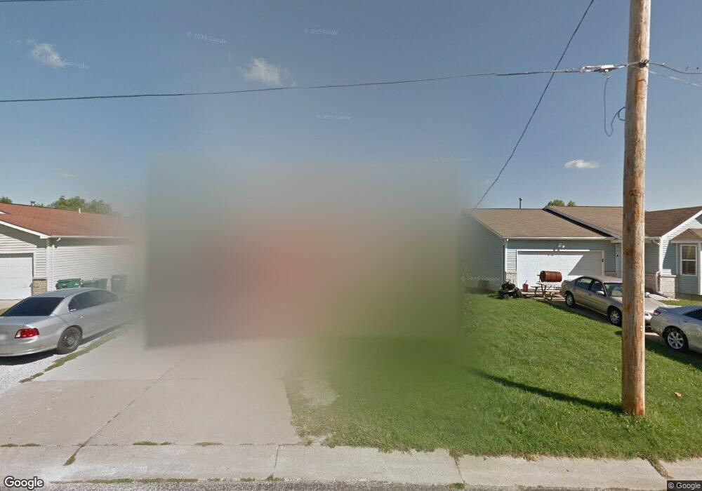
103 Reasnor Ave Saint Louis, MO 63119
Estimated Value: $282,000 - $318,000
3
Beds
2
Baths
1,240
Sq Ft
$240/Sq Ft
Est. Value
About This Home
This home is located at 103 Reasnor Ave, Saint Louis, MO 63119 and is currently estimated at $297,075, approximately $239 per square foot. 103 Reasnor Ave is a home located in St. Louis County with nearby schools including Bristol Elementary School, Hixson Middle School, and Webster Groves High School.
Ownership History
Date
Name
Owned For
Owner Type
Purchase Details
Closed on
May 13, 2005
Sold by
Billingsley Akeela and Lambkins Roy
Bought by
Lambkins Roy and Billingsley Akeela
Current Estimated Value
Home Financials for this Owner
Home Financials are based on the most recent Mortgage that was taken out on this home.
Original Mortgage
$101,500
Outstanding Balance
$59,554
Interest Rate
7.85%
Mortgage Type
New Conventional
Estimated Equity
$237,521
Purchase Details
Closed on
Apr 14, 1999
Sold by
The Meyer Company Inc
Bought by
Bellingsley Akeela
Home Financials for this Owner
Home Financials are based on the most recent Mortgage that was taken out on this home.
Original Mortgage
$61,384
Interest Rate
8.62%
Create a Home Valuation Report for This Property
The Home Valuation Report is an in-depth analysis detailing your home's value as well as a comparison with similar homes in the area
Home Values in the Area
Average Home Value in this Area
Purchase History
| Date | Buyer | Sale Price | Title Company |
|---|---|---|---|
| Lambkins Roy | -- | It | |
| Bellingsley Akeela | $93,920 | -- |
Source: Public Records
Mortgage History
| Date | Status | Borrower | Loan Amount |
|---|---|---|---|
| Open | Lambkins Roy | $101,500 | |
| Previous Owner | Bellingsley Akeela | $61,384 | |
| Closed | Bellingsley Akeela | $27,840 |
Source: Public Records
Tax History Compared to Growth
Tax History
| Year | Tax Paid | Tax Assessment Tax Assessment Total Assessment is a certain percentage of the fair market value that is determined by local assessors to be the total taxable value of land and additions on the property. | Land | Improvement |
|---|---|---|---|---|
| 2025 | $3,282 | $54,300 | $24,050 | $30,250 |
| 2024 | $3,282 | $46,890 | $18,050 | $28,840 |
| 2023 | $3,282 | $46,890 | $18,050 | $28,840 |
| 2022 | $3,088 | $41,140 | $15,030 | $26,110 |
| 2021 | $3,078 | $41,140 | $15,030 | $26,110 |
| 2020 | $2,986 | $37,170 | $11,800 | $25,370 |
| 2019 | $2,965 | $37,170 | $11,800 | $25,370 |
| 2018 | $2,815 | $31,310 | $7,350 | $23,960 |
| 2017 | $2,796 | $31,310 | $7,350 | $23,960 |
| 2016 | $2,570 | $27,550 | $6,400 | $21,150 |
| 2015 | $2,575 | $27,550 | $6,400 | $21,150 |
| 2014 | $2,700 | $28,120 | $10,200 | $17,920 |
Source: Public Records
Map
Nearby Homes
- 1013 Bell Ave
- 901 Ennis Ave
- 2935 Greentop Ct
- 2918 Wingate Ct
- 827 Cornell Ave
- 617 N Elm Ave
- 814 Holland Ave
- 330 Lithia Ave
- 9239 Merritt Ave
- 8908 W Pendleton Ave
- 2904 Collier Ave
- 218 Euclid Ave
- 546 Holland Ave
- 1106 N Rock Hill Rd
- 2911 Brazeau Ave
- 2642 McKnight Crossing Ct
- 529 Cyril Dr
- 1242 Charlane Ct
- 1235 Charlane Ct
- 2829 Brazeau Ave