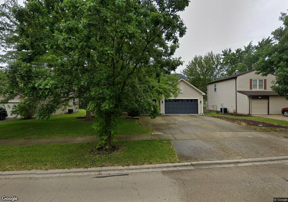
103 S Commonwealth Dr Bolingbrook, IL 60440
Balstrode Park NeighborhoodEstimated Value: $520,780 - $554,000
Studio
1
Bath
3,149
Sq Ft
$171/Sq Ft
Est. Value
About This Home
This home is located at 103 S Commonwealth Dr, Bolingbrook, IL 60440 and is currently estimated at $538,695, approximately $171 per square foot. 103 S Commonwealth Dr is a home located in Will County with nearby schools including Jamie Mcgee Elementary School, Jane Addams Middle School, and Brooks Middle School.
Ownership History
Date
Name
Owned For
Owner Type
Purchase Details
Closed on
Sep 9, 2005
Sold by
The Ryland Group Inc
Bought by
Tyler Dewayne E and Tyler Sherita D
Current Estimated Value
Home Financials for this Owner
Home Financials are based on the most recent Mortgage that was taken out on this home.
Original Mortgage
$361,464
Outstanding Balance
$243,057
Interest Rate
10.3%
Mortgage Type
Fannie Mae Freddie Mac
Estimated Equity
$295,638
Create a Home Valuation Report for This Property
The Home Valuation Report is an in-depth analysis detailing your home's value as well as a comparison with similar homes in the area
Home Values in the Area
Average Home Value in this Area
Purchase History
| Date | Buyer | Sale Price | Title Company |
|---|---|---|---|
| Tyler Dewayne E | $380,500 | Ryland Title Company |
Source: Public Records
Mortgage History
| Date | Status | Borrower | Loan Amount |
|---|---|---|---|
| Open | Tyler Dewayne E | $361,464 |
Source: Public Records
Tax History
| Year | Tax Paid | Tax Assessment Tax Assessment Total Assessment is a certain percentage of the fair market value that is determined by local assessors to be the total taxable value of land and additions on the property. | Land | Improvement |
|---|---|---|---|---|
| 2024 | $14,335 | $163,219 | $41,435 | $121,784 |
| 2023 | $14,335 | $146,859 | $37,282 | $109,577 |
| 2022 | $12,484 | $132,301 | $33,612 | $98,689 |
| 2021 | $11,850 | $123,704 | $31,428 | $92,276 |
| 2020 | $11,494 | $119,637 | $30,395 | $89,242 |
| 2019 | $11,137 | $113,940 | $28,948 | $84,992 |
| 2018 | $10,704 | $109,055 | $27,707 | $81,348 |
| 2017 | $10,205 | $103,370 | $26,263 | $77,107 |
| 2016 | $9,923 | $98,400 | $25,000 | $73,400 |
| 2015 | $8,594 | $94,400 | $24,000 | $70,400 |
| 2014 | $8,594 | $85,800 | $21,800 | $64,000 |
| 2013 | $8,594 | $85,800 | $21,800 | $64,000 |
Source: Public Records
Map
Nearby Homes
- 1086 Lily Field Ln
- 8 Lily Ct
- 333 Claridge Cir
- 265 Commonwealth Dr Unit 1
- 1150 Coventry Ln
- 10 Lindsey Ct W
- 867 Harris Dr Unit 5
- 845 Barclay Dr
- 811 Beech Dr
- 234 Butternut Dr
- 250 Butternut Dr
- 4 Franklin Ct Unit 2
- 217 S Orchard Dr
- 13 Callery Ct
- VACANT W Boughton Rd
- 118 Springleaf Dr Unit 5
- 1156 Partridge Ave
- 164 Galewood Dr
- 401 Foxborough Trail
- 261 Bryant Way
- 101 Commonwealth Dr
- 107 S Commonwealth Dr
- 105 Commonwealth Dr
- 111 S Commonwealth Dr
- 1052 Ridgewood Dr
- 1020 Ashbrook Cir
- 1021 W Briarcliff Rd
- 1054 Ridgewood Dr
- 1050 Ridgewood Dr
- 1047 Towner Dr
- 115 S Commonwealth Dr
- 1059 Towner Dr
- 113 Commonwealth Dr
- 1017 W Briarcliff Rd
- 114 S Commonwealth Dr
- 1016 Ashbrook Cir
- 1048 Ridgewood Dr
- 1043 Towner Dr
- 1056 Ridgewood Dr Unit 2
- 119 S Commonwealth Dr
Your Personal Tour Guide
Ask me questions while you tour the home.