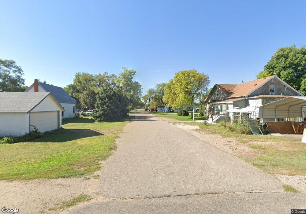
103 S Maple St Maxwell, NE 69151
Estimated Value: $186,000 - $232,000
3
Beds
2
Baths
1,588
Sq Ft
$132/Sq Ft
Est. Value
About This Home
This home is located at 103 S Maple St, Maxwell, NE 69151 and is currently estimated at $209,810, approximately $132 per square foot. 103 S Maple St is a home located in Lincoln County with nearby schools including Maxwell Elementary School and Maxwell High School.
Create a Home Valuation Report for This Property
The Home Valuation Report is an in-depth analysis detailing your home's value as well as a comparison with similar homes in the area
Tax History
| Year | Tax Paid | Tax Assessment Tax Assessment Total Assessment is a certain percentage of the fair market value that is determined by local assessors to be the total taxable value of land and additions on the property. | Land | Improvement |
|---|---|---|---|---|
| 2025 | $2,062 | $183,414 | $11,405 | $172,009 |
| 2024 | $1,932 | $177,451 | $8,078 | $169,373 |
| 2023 | $1,932 | $120,994 | $8,078 | $112,916 |
| 2022 | $2,061 | $120,016 | $8,078 | $111,938 |
| 2021 | $2,042 | $120,016 | $8,078 | $111,938 |
| 2020 | $1,904 | $102,565 | $2,850 | $99,715 |
| 2019 | $1,873 | $102,565 | $2,850 | $99,715 |
| 2018 | $1,842 | $102,565 | $2,850 | $99,715 |
| 2017 | $1,889 | $102,565 | $2,850 | $99,715 |
| 2016 | $2,014 | $102,565 | $2,850 | $99,715 |
| 2014 | $1,865 | $95,030 | $2,850 | $92,180 |
Source: Public Records
Map
Nearby Homes
- 214 E Plumer Ave
- 21611 E Slant Rd
- N Platte Unit NE 69101
- 0 Bignell Hill Farm and Recreation Unit 11652646
- 00 Miriam Rd
- 6764 N Shore Dr
- Brady Unit NE 69123
- Brady Unit NE 69123
- Brady Unit NE 69123
- 0 Brady Acreage Lot Unit Lots-East
- 0 Brady Acreage Lot Unit Lots-Southwest
- 0 Brady Acreage Lot Unit Lots-Northwest
- 0 Brady Acreage Lot Unit Lots-Southeast
- Brady Unit NE 69123
- 207 W State St
- N Platte Unit NE 69101
- TBD S Snell Canyon Rd
- Tbd South Snell Canyon Rd
- 0000 Hwy 30
- 4306 Twin Rivers Rd
Your Personal Tour Guide
Ask me questions while you tour the home.