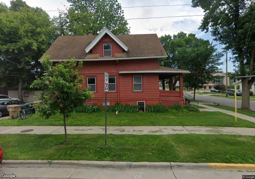
103 S Randall Ave Unit 1 Madison, WI 53715
Greenbush NeighborhoodEstimated Value: $553,000 - $681,000
3
Beds
3
Baths
1,437
Sq Ft
$417/Sq Ft
Est. Value
About This Home
This home is located at 103 S Randall Ave Unit 1, Madison, WI 53715 and is currently estimated at $599,587, approximately $417 per square foot. 103 S Randall Ave Unit 1 is a home located in Dane County with nearby schools including Franklin Elementary School, Hamilton Middle School, and West High School.
Ownership History
Date
Name
Owned For
Owner Type
Purchase Details
Closed on
Apr 28, 2008
Sold by
Ashmore William H and Ashmore Karla R
Bought by
L Elsie Llc
Current Estimated Value
Home Financials for this Owner
Home Financials are based on the most recent Mortgage that was taken out on this home.
Original Mortgage
$185,600
Outstanding Balance
$117,540
Interest Rate
5.88%
Mortgage Type
Unknown
Estimated Equity
$482,047
Create a Home Valuation Report for This Property
The Home Valuation Report is an in-depth analysis detailing your home's value as well as a comparison with similar homes in the area
Home Values in the Area
Average Home Value in this Area
Purchase History
| Date | Buyer | Sale Price | Title Company |
|---|---|---|---|
| L Elsie Llc | $232,000 | None Available |
Source: Public Records
Mortgage History
| Date | Status | Borrower | Loan Amount |
|---|---|---|---|
| Open | L Elsie Llc | $185,600 |
Source: Public Records
Tax History
| Year | Tax Paid | Tax Assessment Tax Assessment Total Assessment is a certain percentage of the fair market value that is determined by local assessors to be the total taxable value of land and additions on the property. | Land | Improvement |
|---|---|---|---|---|
| 2024 | $18,990 | $538,200 | $148,500 | $389,700 |
| 2023 | $9,158 | $503,000 | $114,200 | $388,800 |
| 2022 | $18,394 | $465,700 | $108,800 | $356,900 |
| 2021 | $8,909 | $415,800 | $98,000 | $317,800 |
| 2020 | $8,628 | $385,000 | $98,000 | $287,000 |
| 2019 | $8,330 | $370,200 | $94,200 | $276,000 |
| 2018 | $7,718 | $339,600 | $87,200 | $252,400 |
| 2017 | $7,340 | $311,600 | $87,200 | $224,400 |
| 2016 | $6,930 | $288,500 | $80,700 | $207,800 |
| 2015 | $6,513 | $234,400 | $66,900 | $167,500 |
| 2014 | $5,601 | $234,400 | $66,900 | $167,500 |
| 2013 | $5,091 | $220,400 | $62,500 | $157,900 |
Source: Public Records
Map
Nearby Homes
- 1632 Madison St
- 1001 Grant St Unit 4
- 1133 Vilas Ave
- 305 S Mills St
- 308 S Brooks St Unit 1
- 1815 Madison St
- 9 S Spooner St
- 512 S Mills St Unit 12
- 1901 Madison St
- 1715 Hoyt St
- 927 Drake St
- 208 Lathrop St
- 0 Confidential Rd Unit 2013448
- 1925 Kendall Ave
- 207/207.5/205 N Frances St
- 2215 Regent St
- 2218 Regent St Unit 2
- 135 S Brittingham Place
- 615 W Main St Unit 205
- 615 W Main St Unit 210
- 109 S Randall Ave
- 1333 Milton St
- 111 S Randall Ave
- 1329 Milton St Unit A
- 1329 Milton St Unit 1 & 2
- 39 S Randall Ave
- 115 S Randall Ave
- 1320 Saint James Ct
- 1325 Milton St
- 37 S Randall Ave
- 1328 Milton St
- 102 S Randall Ave
- 1320 St James Ct
- 104 S Randall Ave
- 108 S Randall Ave
- 1318 Saint James Ct
- 1324 Milton St Unit 1
- 1321 Milton St
- 1318 St James Ct
- 29 S Randall Ave
Your Personal Tour Guide
Ask me questions while you tour the home.