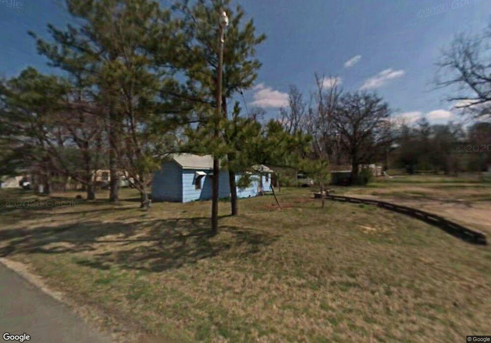
103 Sargear Locust Grove, OK 74352
Estimated Value: $29,309 - $168,000
2
Beds
1
Bath
736
Sq Ft
$122/Sq Ft
Est. Value
About This Home
This home is located at 103 Sargear, Locust Grove, OK 74352 and is currently estimated at $89,827, approximately $122 per square foot. 103 Sargear is a home with nearby schools including Locust Grove Early Lrning Center, Locust Grove Upper Elementary School, and Locust Grove Middle School.
Ownership History
Date
Name
Owned For
Owner Type
Purchase Details
Closed on
Dec 8, 2025
Sold by
Barnes Billy
Bought by
Raglin Lisa and Raglin Andrew
Current Estimated Value
Purchase Details
Closed on
Jul 5, 2024
Sold by
Davis Tisha
Bought by
Barnes Billy
Purchase Details
Closed on
Jan 8, 2023
Sold by
Loffer William
Bought by
Barnes Billy
Purchase Details
Closed on
Nov 25, 2022
Sold by
Labby Jeremy
Bought by
Barnes Billy
Purchase Details
Closed on
May 18, 2022
Sold by
Barnes Billy
Bought by
Barnes Billy
Purchase Details
Closed on
Oct 4, 2021
Sold by
Monk Vivian
Bought by
Barnes Billy
Purchase Details
Closed on
Jan 5, 2021
Sold by
Rosas and Julia
Bought by
Barnes Billy
Create a Home Valuation Report for This Property
The Home Valuation Report is an in-depth analysis detailing your home's value as well as a comparison with similar homes in the area
Purchase History
| Date | Buyer | Sale Price | Title Company |
|---|---|---|---|
| Raglin Lisa | $27,000 | None Listed On Document | |
| Barnes Billy | -- | None Listed On Document | |
| Barnes Billy | -- | None Listed On Document | |
| Barnes Billy | -- | -- | |
| Barnes Billy | -- | -- | |
| Barnes Billy | $15,000 | None Available | |
| Barnes Billy | $13,333 | None Listed On Document |
Source: Public Records
Tax History
| Year | Tax Paid | Tax Assessment Tax Assessment Total Assessment is a certain percentage of the fair market value that is determined by local assessors to be the total taxable value of land and additions on the property. | Land | Improvement |
|---|---|---|---|---|
| 2025 | $447 | $4,816 | $1,729 | $3,087 |
| 2024 | $447 | $4,587 | $1,647 | $2,940 |
| 2023 | $427 | $4,369 | $1,584 | $2,785 |
| 2022 | $375 | $4,160 | $1,474 | $2,686 |
| 2021 | $84 | $1,913 | $678 | $1,235 |
| 2020 | $85 | $1,912 | $764 | $1,148 |
| 2019 | $85 | $1,913 | $895 | $1,018 |
| 2018 | $87 | $1,913 | $895 | $1,018 |
| 2017 | $87 | $1,913 | $895 | $1,018 |
| 2016 | $85 | $1,913 | $895 | $1,018 |
| 2015 | $88 | $1,913 | $731 | $1,182 |
| 2014 | $88 | $1,913 | $731 | $1,182 |
Source: Public Records
Map
Nearby Homes
- 420 N Broadway St
- 316 N Broadway
- 413 N Broadway
- 311 N Water St
- 416 N Broadway
- 302 N Broadway
- 425 Floyd Cunningham Dr
- 0 Water St Unit 1707107
- 412 Mayes
- 408 N Water St
- 303 N Broadway
- 5 N Floyd Cunningham St
- 5 St
- 425 N Water
- 403 N Mayes St
- 504 N Broadway
- 216 N Broadway
- 409 N Mayes St
- 511 N Water St
- 506 N Broadway
Your Personal Tour Guide
Ask me questions while you tour the home.