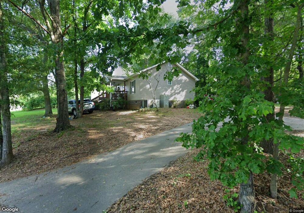
103 Sassafras Ln Liberty, SC 29657
Estimated Value: $214,899 - $276,000
3
Beds
2
Baths
1,215
Sq Ft
$203/Sq Ft
Est. Value
About This Home
This home is located at 103 Sassafras Ln, Liberty, SC 29657 and is currently estimated at $246,725, approximately $203 per square foot. 103 Sassafras Ln is a home located in Pickens County with nearby schools including Liberty Primary School, Liberty Middle School, and Liberty High School.
Ownership History
Date
Name
Owned For
Owner Type
Purchase Details
Closed on
Dec 27, 2012
Sold by
Garrett Matthew
Bought by
Harris David J
Current Estimated Value
Home Financials for this Owner
Home Financials are based on the most recent Mortgage that was taken out on this home.
Original Mortgage
$96,531
Outstanding Balance
$67,087
Interest Rate
3.36%
Estimated Equity
$179,638
Purchase Details
Closed on
Aug 18, 2006
Sold by
Thomas Eric
Bought by
Garrett Matthew
Home Financials for this Owner
Home Financials are based on the most recent Mortgage that was taken out on this home.
Original Mortgage
$96,900
Interest Rate
6.67%
Mortgage Type
New Conventional
Create a Home Valuation Report for This Property
The Home Valuation Report is an in-depth analysis detailing your home's value as well as a comparison with similar homes in the area
Home Values in the Area
Average Home Value in this Area
Purchase History
| Date | Buyer | Sale Price | Title Company |
|---|---|---|---|
| Harris David J | $94,500 | -- | |
| Garrett Matthew | $99,900 | None Available |
Source: Public Records
Mortgage History
| Date | Status | Borrower | Loan Amount |
|---|---|---|---|
| Open | Harris David J | $96,531 | |
| Previous Owner | Garrett Matthew | $96,900 |
Source: Public Records
Tax History Compared to Growth
Tax History
| Year | Tax Paid | Tax Assessment Tax Assessment Total Assessment is a certain percentage of the fair market value that is determined by local assessors to be the total taxable value of land and additions on the property. | Land | Improvement |
|---|---|---|---|---|
| 2024 | $515 | $4,290 | $560 | $3,730 |
| 2023 | $515 | $4,290 | $560 | $3,730 |
| 2022 | $518 | $4,290 | $560 | $3,730 |
| 2021 | $516 | $4,290 | $560 | $3,730 |
| 2020 | $551 | $4,292 | $560 | $3,732 |
| 2019 | $560 | $4,290 | $560 | $3,730 |
| 2018 | $528 | $3,790 | $560 | $3,230 |
| 2017 | $481 | $3,790 | $560 | $3,230 |
| 2015 | $484 | $3,790 | $0 | $0 |
| 2008 | -- | $3,840 | $480 | $3,360 |
Source: Public Records
Map
Nearby Homes
- 00 Old Norris Rd
- 115 Tillman St
- 115 Tillman Street Extension
- 7 Clay St
- 305 Cassell Rd
- 101 Bradley Dr
- 00 Farmers Hill Rd
- 00 Ruhamah Rd
- 7 Woodhaven Dr
- 177 Farmers Hill Rd
- 156 Farmers Hill Rd
- 503 Piney Trail
- 112 E Beattie St
- 108 Pineview Dr
- 7 Edgewood St
- 12 Boggs Dr
- 0 Old Norris Rd Unit 1572614
- 7 Hunt Ave
- 12 Ridgeline Dr
- 505 Blackbottom Rd
- 508 Blackbottom Rd
- 111 Sassafras Ln
- 504 Blackbottom Rd
- 526 Blackbottom Rd
- 125 Sassafras Ln
- 497 Blackbottom Rd
- 513 Blackbottom Rd
- 432 Blackbottom Rd
- 126 Gillespie Rd
- 416 Blackbottom Rd
- 0 Gillespie Rd
- 00 Gillespie Rd
- 406 Blackbottom Rd
- 258 Gillespie Rd
- 125 Rolling Hill Rd
- 153 Gillespie Rd
- 204 Gillespie Rd
- 211 Posey Hill Rd
- 110 Stewart Rd