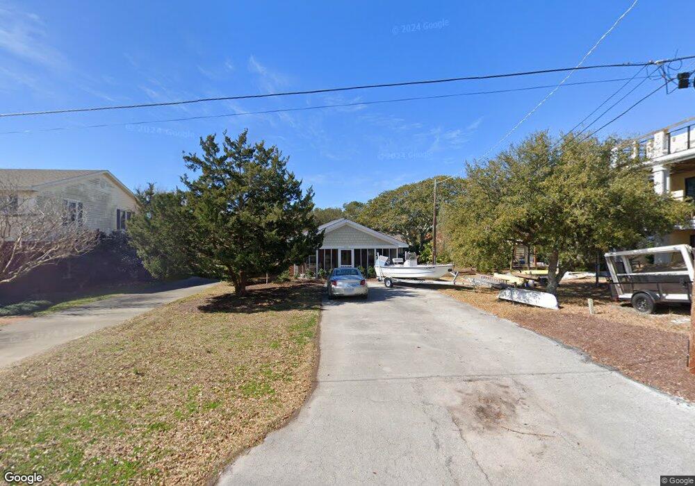
103 Seaview St Unit B Beaufort, NC 28516
Estimated Value: $325,377 - $473,000
2
Beds
1
Bath
1,004
Sq Ft
$399/Sq Ft
Est. Value
About This Home
This home is located at 103 Seaview St Unit B, Beaufort, NC 28516 and is currently estimated at $401,094, approximately $399 per square foot. 103 Seaview St Unit B is a home located in Carteret County with nearby schools including Beaufort Elementary School, Beaufort Middle School, and East Carteret High School.
Ownership History
Date
Name
Owned For
Owner Type
Purchase Details
Closed on
Jul 29, 2011
Sold by
Beaufort Village Properties Inc
Bought by
Jones Amy Jean and Harrison Virginia Leigh
Current Estimated Value
Home Financials for this Owner
Home Financials are based on the most recent Mortgage that was taken out on this home.
Original Mortgage
$115,000
Outstanding Balance
$9,480
Interest Rate
4.53%
Mortgage Type
New Conventional
Estimated Equity
$391,614
Create a Home Valuation Report for This Property
The Home Valuation Report is an in-depth analysis detailing your home's value as well as a comparison with similar homes in the area
Home Values in the Area
Average Home Value in this Area
Purchase History
| Date | Buyer | Sale Price | Title Company |
|---|---|---|---|
| Jones Amy Jean | $217,500 | None Available |
Source: Public Records
Mortgage History
| Date | Status | Borrower | Loan Amount |
|---|---|---|---|
| Open | Jones Amy Jean | $115,000 |
Source: Public Records
Tax History Compared to Growth
Tax History
| Year | Tax Paid | Tax Assessment Tax Assessment Total Assessment is a certain percentage of the fair market value that is determined by local assessors to be the total taxable value of land and additions on the property. | Land | Improvement |
|---|---|---|---|---|
| 2025 | $1,776 | $289,761 | $0 | $289,761 |
| 2024 | $1,593 | $166,887 | $86,080 | $80,807 |
| 2023 | $1,498 | $166,887 | $86,080 | $80,807 |
| 2022 | $1,482 | $166,887 | $86,080 | $80,807 |
| 2021 | $0 | $166,887 | $86,080 | $80,807 |
| 2020 | $1,482 | $166,887 | $86,080 | $80,807 |
| 2019 | $1,523 | $175,908 | $98,021 | $77,887 |
| 2017 | $1,396 | $175,908 | $98,021 | $77,887 |
| 2016 | $1,316 | $175,908 | $98,021 | $77,887 |
| 2015 | $1,299 | $175,908 | $98,021 | $77,887 |
| 2014 | -- | $190,000 | $0 | $190,000 |
Source: Public Records
Map
Nearby Homes
- 1312 Ann St Unit 5
- 1308 Ann St Unit 16
- 1524 Ann St
- 102 Macgregor Dr
- 110 Beaufort Walk
- 1011 Front St Unit 3A
- 301 Hedrick St
- 770 Laurel Ln
- 903 Live Oak St
- 805 Mulberry St Unit 202
- 805 Mulberry St Unit 204
- 805 Mulberry St Unit 105
- 805 Mulberry St Unit 201
- 805 Mulberry St Unit 104
- 805 Mulberry St Unit 103
- 805 Mulberry St Unit 102
- 805 Mulberry St Unit 101
- 717 Cedar St Unit 1/2
- 132 Freedom Park Rd
- 121 Freedom Park Rd
- 103 Seaview St Unit A
- 103 Seaview St
- 101 Seaview St
- 1312 Ann
- 1312 Ann St
- 1312 Ann St Unit 1
- 1312 Ann St Unit 6
- 1312 Ann St Unit 2
- 1312 Ann St Unit 4
- 1314 Ann St
- 102 Gerald St
- 100 Gerald St
- 1310 Ann St
- 1310 Ann St
- 1310 Ann St Unit 11
- 1310 Ann St Unit 8
- 1310 Ann St Unit 9
- 1310 Ann St Unit 12
- 1310 Ann St Unit 10
- 102 Seaview St