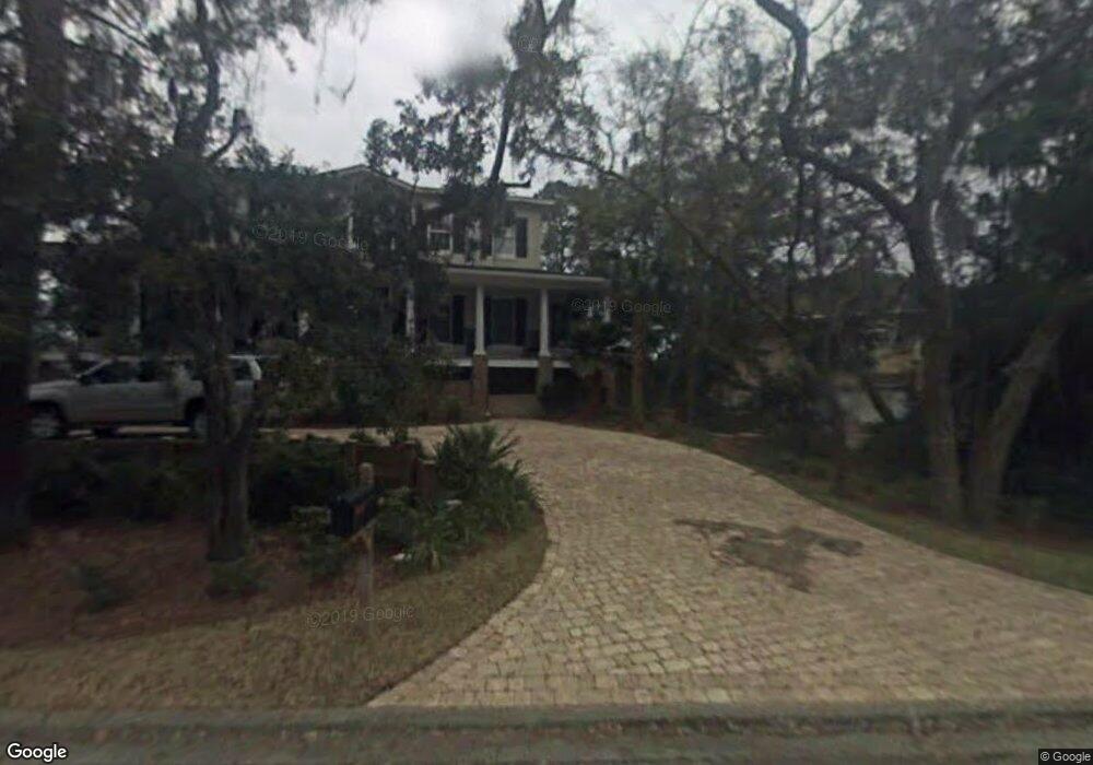
103 Sexton Ln Saint Simons Island, GA 31522
Estimated Value: $2,047,000 - $2,414,000
4
Beds
4
Baths
4,620
Sq Ft
$482/Sq Ft
Est. Value
About This Home
This home is located at 103 Sexton Ln, Saint Simons Island, GA 31522 and is currently estimated at $2,227,643, approximately $482 per square foot. 103 Sexton Ln is a home located in Glynn County with nearby schools including Oglethorpe Point Elementary School, Glynn Middle School, and Glynn Academy.
Ownership History
Date
Name
Owned For
Owner Type
Purchase Details
Closed on
May 8, 2009
Sold by
Us Bank National Association
Bought by
Chitty Stephen A and Chitty Kimberly B
Current Estimated Value
Purchase Details
Closed on
Jan 6, 2009
Sold by
Fucetola Scarlet E
Bought by
Lasalle Bank National Association
Purchase Details
Closed on
Dec 20, 2006
Sold by
Jqq Llc
Bought by
Fucetola Scarlet E
Purchase Details
Closed on
Feb 6, 2006
Sold by
Stewart Thomas D
Bought by
J Q Q Llc
Create a Home Valuation Report for This Property
The Home Valuation Report is an in-depth analysis detailing your home's value as well as a comparison with similar homes in the area
Home Values in the Area
Average Home Value in this Area
Purchase History
| Date | Buyer | Sale Price | Title Company |
|---|---|---|---|
| Chitty Stephen A | $1,005,000 | -- | |
| Lasalle Bank National Association | $1,332,768 | -- | |
| Fucetola Scarlet E | -- | -- | |
| J Q Q Llc | $850,000 | -- |
Source: Public Records
Tax History Compared to Growth
Tax History
| Year | Tax Paid | Tax Assessment Tax Assessment Total Assessment is a certain percentage of the fair market value that is determined by local assessors to be the total taxable value of land and additions on the property. | Land | Improvement |
|---|---|---|---|---|
| 2025 | $19,824 | $790,480 | $220,000 | $570,480 |
| 2024 | $15,888 | $633,520 | $190,000 | $443,520 |
| 2023 | $9,158 | $633,520 | $190,000 | $443,520 |
| 2022 | $9,734 | $473,880 | $168,000 | $305,880 |
| 2021 | $10,033 | $388,160 | $90,000 | $298,160 |
| 2020 | $10,260 | $388,160 | $90,000 | $298,160 |
| 2019 | $10,260 | $388,160 | $90,000 | $298,160 |
| 2018 | $9,790 | $370,160 | $72,000 | $298,160 |
| 2017 | $10,260 | $388,160 | $90,000 | $298,160 |
| 2016 | $7,743 | $317,400 | $68,000 | $249,400 |
| 2015 | $7,717 | $317,400 | $68,000 | $249,400 |
| 2014 | $7,717 | $315,000 | $68,000 | $247,000 |
Source: Public Records
Map
Nearby Homes
- 712 Hamilton Landing Dr
- 156 Ledbetter Ave
- 110 Pirates Cove
- 217 Settlers Rd
- 125 Worthing Rd
- LOT 18 Canopy Ct
- LOT 3 Canopy Ct
- LOT 1 Canopy Ct
- LOT 24 Canopy Ct
- LOT 8 Canopy Ct
- 18 Canopy Ct
- 24 Canopy Ct
- 3 Canopy Ct
- 8 Canopy Ct
- 512 Brockinton S
- 102 Sapelo St
- 210 Settlers Rd
- 258 Saint James Ave
- 302 Wormslow Ct
- 361 Brockinton Marsh
- 820 Hamilton Landing Dr
- 818 Hamilton Landing Dr
- Lot 62 Phase G Section G
- 819 Hamilton Landing
- 819 Hamilton Landing Dr
- 817 Hamilton Landing Dr
- 814 Hamilton Landing Dr
- 816 Hamilton Landing Dr
- 815 Hamilton Landing Dr
- 812 Hamilton Landing Dr
- 809 Hamilton Landing Dr
- 811 Hamilton Landing Dr
- 700 Hamilton Landing Dr
- 102 Dudley Ln
- 807 Hamilton Landing Dr
- 805 Hamilton Landing Dr
- 104 Dudley Ln
- 101 Dudley Ln
- 803 Hamilton Landing Dr
- 106 Dudley Ln