103 Shady Ln Canaan, ME 04924
Estimated Value: $221,000 - $249,000
2
Beds
1
Bath
1,090
Sq Ft
$216/Sq Ft
Est. Value
About This Home
This home is located at 103 Shady Ln, Canaan, ME 04924 and is currently estimated at $235,275, approximately $215 per square foot. 103 Shady Ln is a home located in Somerset County.
Ownership History
Date
Name
Owned For
Owner Type
Purchase Details
Closed on
Sep 11, 2008
Sold by
Daya Shantiann
Bought by
Parsons Annamarie A
Current Estimated Value
Home Financials for this Owner
Home Financials are based on the most recent Mortgage that was taken out on this home.
Original Mortgage
$126,530
Outstanding Balance
$83,712
Interest Rate
6.58%
Mortgage Type
Commercial
Estimated Equity
$151,563
Purchase Details
Closed on
Mar 8, 2007
Sold by
Doody Tyson J and Doody Jodi R
Bought by
Daya Shantiann
Home Financials for this Owner
Home Financials are based on the most recent Mortgage that was taken out on this home.
Original Mortgage
$73,000
Interest Rate
6.3%
Mortgage Type
Commercial
Purchase Details
Closed on
Mar 7, 2005
Sold by
Perkins Dale L
Bought by
Doody Tyson J and Doody Jodi R
Home Financials for this Owner
Home Financials are based on the most recent Mortgage that was taken out on this home.
Original Mortgage
$100,800
Interest Rate
5.66%
Mortgage Type
Commercial
Create a Home Valuation Report for This Property
The Home Valuation Report is an in-depth analysis detailing your home's value as well as a comparison with similar homes in the area
Home Values in the Area
Average Home Value in this Area
Purchase History
| Date | Buyer | Sale Price | Title Company |
|---|---|---|---|
| Parsons Annamarie A | -- | -- | |
| Daya Shantiann | -- | -- | |
| Doody Tyson J | -- | -- |
Source: Public Records
Mortgage History
| Date | Status | Borrower | Loan Amount |
|---|---|---|---|
| Open | Parsons Annamarie A | $126,530 | |
| Closed | Daya Shantiann | $73,000 | |
| Previous Owner | Doody Tyson J | $100,800 |
Source: Public Records
Tax History Compared to Growth
Tax History
| Year | Tax Paid | Tax Assessment Tax Assessment Total Assessment is a certain percentage of the fair market value that is determined by local assessors to be the total taxable value of land and additions on the property. | Land | Improvement |
|---|---|---|---|---|
| 2025 | $2,374 | $215,800 | $41,000 | $174,800 |
| 2024 | $2,269 | $214,100 | $41,000 | $173,100 |
| 2023 | $1,834 | $96,500 | $23,000 | $73,500 |
| 2022 | $1,592 | $96,500 | $23,000 | $73,500 |
| 2021 | $1,698 | $96,500 | $23,000 | $73,500 |
| 2020 | $1,641 | $96,500 | $23,000 | $73,500 |
| 2019 | $1,631 | $96,500 | $23,000 | $73,500 |
| 2018 | $1,573 | $96,500 | $23,000 | $73,500 |
| 2017 | $1,476 | $96,500 | $23,000 | $73,500 |
| 2016 | $1,399 | $96,500 | $23,000 | $73,500 |
| 2015 | $1,515 | $96,500 | $23,000 | $73,500 |
| 2014 | $1,544 | $96,500 | $23,000 | $73,500 |
| 2013 | $1,563 | $96,500 | $23,000 | $73,500 |
Source: Public Records
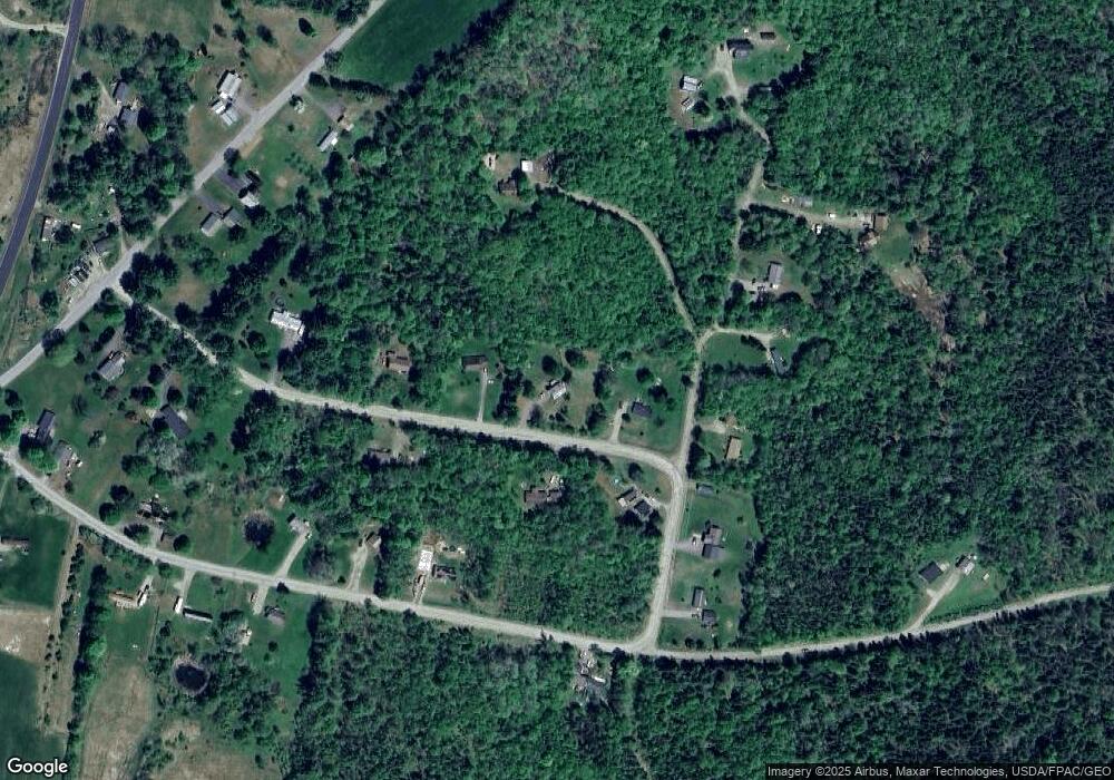
Map
Nearby Homes
- 11 Shady Ln
- 22 Tobey Rd
- 289 Main St
- 316 Battle Ridge Rd
- Lot 4 Oak Pond Rd
- Lot 3 Oak Pond Rd
- Lot 5 Oak Pond Rd
- Lot 2 Oak Pond Rd
- Lot 1 Oak Pond Rd
- Lot 7 Oak Pond Rd
- Lot 6 Oak Pond Rd
- 420 Main St
- 7 Bowzer Ln
- 1242 Canaan Rd
- 143 Nelson Hill Rd
- 62 Pine Valley Dr
- Lot 52 Ella Gerald Rd
- 249 W Shore Rd
- 180 Lambert Rd
- M7 L104-9 104-10