103 Shiloh Ridge Trail Canton, GA 30115
Union Hill NeighborhoodEstimated Value: $838,587 - $897,000
4
Beds
3
Baths
4,849
Sq Ft
$179/Sq Ft
Est. Value
About This Home
This home is located at 103 Shiloh Ridge Trail, Canton, GA 30115 and is currently estimated at $867,794, approximately $178 per square foot. 103 Shiloh Ridge Trail is a home located in Cherokee County with nearby schools including Avery Elementary School, Creekland Middle School, and Creekview High School.
Ownership History
Date
Name
Owned For
Owner Type
Purchase Details
Closed on
Oct 31, 2002
Sold by
R A Construction Inc
Bought by
Mcgahee Joseph W and Mcgahee Edith R
Current Estimated Value
Home Financials for this Owner
Home Financials are based on the most recent Mortgage that was taken out on this home.
Original Mortgage
$304,828
Interest Rate
5.93%
Mortgage Type
New Conventional
Create a Home Valuation Report for This Property
The Home Valuation Report is an in-depth analysis detailing your home's value as well as a comparison with similar homes in the area
Home Values in the Area
Average Home Value in this Area
Purchase History
| Date | Buyer | Sale Price | Title Company |
|---|---|---|---|
| Mcgahee Joseph W | $298,000 | -- |
Source: Public Records
Mortgage History
| Date | Status | Borrower | Loan Amount |
|---|---|---|---|
| Closed | Mcgahee Joseph W | $304,828 |
Source: Public Records
Tax History Compared to Growth
Tax History
| Year | Tax Paid | Tax Assessment Tax Assessment Total Assessment is a certain percentage of the fair market value that is determined by local assessors to be the total taxable value of land and additions on the property. | Land | Improvement |
|---|---|---|---|---|
| 2025 | $1,711 | $375,360 | $76,000 | $299,360 |
| 2024 | $3,538 | $306,040 | $57,000 | $249,040 |
| 2023 | $3,485 | $318,920 | $57,000 | $261,920 |
| 2022 | $3,005 | $258,760 | $47,880 | $210,880 |
| 2021 | $2,201 | $204,880 | $38,000 | $166,880 |
| 2020 | $2,300 | $207,080 | $38,000 | $169,080 |
| 2019 | $2,383 | $208,480 | $38,000 | $170,480 |
| 2018 | $2,392 | $204,120 | $38,000 | $166,120 |
| 2017 | $2,355 | $495,800 | $38,000 | $160,320 |
| 2016 | $2,351 | $489,500 | $38,000 | $157,800 |
| 2015 | $2,097 | $461,500 | $38,000 | $146,600 |
| 2014 | $1,391 | $368,200 | $22,800 | $124,480 |
Source: Public Records
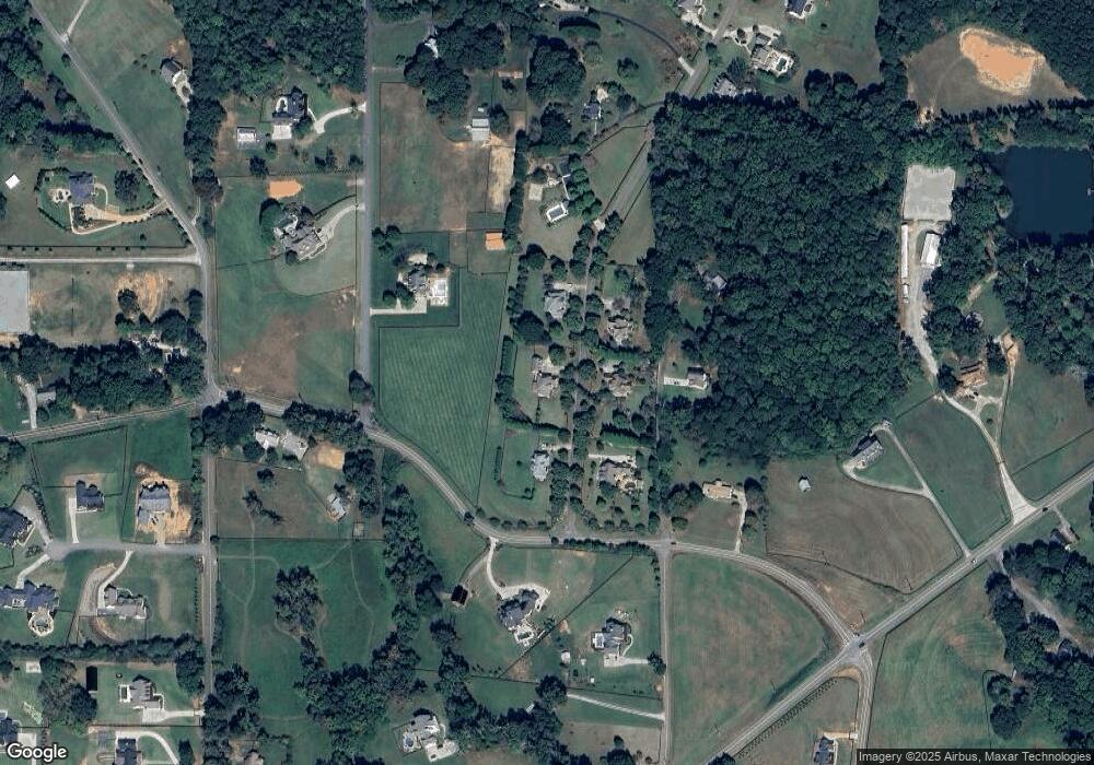
Map
Nearby Homes
- 7820 E Cherokee Dr
- 8143 E Cherokee Dr
- 1996 Thomas Rd
- 302 Carmichael Cir
- 102 Carmichael Dr
- 487 Carmichael Cir
- 0 Memory Ln Unit 10529153
- 162 Carmichael Dr
- 6428 E Cherokee Dr
- 6438 E Cherokee Dr
- 517 Hayes Ln
- 128 Creekview Ln
- 1498 Pinyan Ln
- 115 Old Avery Dr
- 205 Northampton Ct
- 2001 Epperson Rd
- 182 Oak Forest Dr
- 1076 Pinyan Ln
- 1248 Avery Rd
- 1205 Sterlington Dr
- 102 Shiloh Ridge Trail
- 101 Shiloh Ridge Trail
- 101 Shiloh Ridge Trail Unit 1
- 105 Shiloh Ridge Trail Unit A
- 105 Shiloh Ridge Trail
- 104 Shiloh Ridge Trail
- 100 Shiloh Ridge Trail
- 100 Soapstone Way
- 2660 Avery Rd
- 2 Soapstone Way
- 4 Soapstone Way
- 9 Soapstone Way
- 376 Berry Patch Rd
- 2963 Avery Rd
- 165 Berry Patch Rd
- 107 Shiloh Ridge Trail
- 2600 Avery Rd
- 2600 Avery Rd Unit Lot 5
- 2600 Avery Rd Unit Lot 4
- 2600 Avery Rd Unit Lot 3