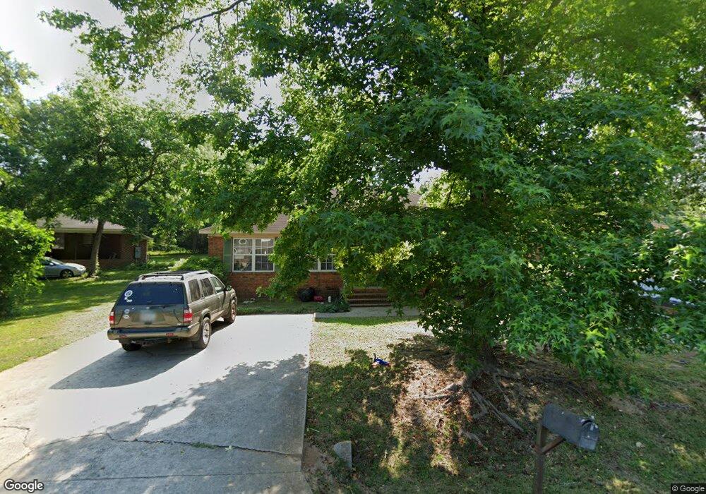
103 Simmons Rd Statesboro, GA 30458
Estimated Value: $231,000 - $498,000
4
Beds
2
Baths
1,911
Sq Ft
$195/Sq Ft
Est. Value
About This Home
This home is located at 103 Simmons Rd, Statesboro, GA 30458 and is currently estimated at $372,434, approximately $194 per square foot. 103 Simmons Rd is a home located in Bulloch County with nearby schools including Statesboro High School, Sallie Zetterower Elementary School, and Langston Chapel Middle School.
Ownership History
Date
Name
Owned For
Owner Type
Purchase Details
Closed on
Nov 21, 2005
Sold by
Grawe Thelma Fordham
Bought by
Hsu Yu Ching
Current Estimated Value
Home Financials for this Owner
Home Financials are based on the most recent Mortgage that was taken out on this home.
Original Mortgage
$200,000
Interest Rate
6.04%
Mortgage Type
New Conventional
Purchase Details
Closed on
Jan 1, 1999
Bought by
Grawe Thelma Fordham
Purchase Details
Closed on
Dec 1, 1995
Bought by
Hager Kimberly
Create a Home Valuation Report for This Property
The Home Valuation Report is an in-depth analysis detailing your home's value as well as a comparison with similar homes in the area
Home Values in the Area
Average Home Value in this Area
Purchase History
| Date | Buyer | Sale Price | Title Company |
|---|---|---|---|
| Hsu Yu Ching | $223,500 | -- | |
| Grawe Thelma Fordham | -- | -- | |
| Hager Kimberly | -- | -- |
Source: Public Records
Mortgage History
| Date | Status | Borrower | Loan Amount |
|---|---|---|---|
| Closed | Hsu Yu Ching | $200,000 |
Source: Public Records
Tax History Compared to Growth
Tax History
| Year | Tax Paid | Tax Assessment Tax Assessment Total Assessment is a certain percentage of the fair market value that is determined by local assessors to be the total taxable value of land and additions on the property. | Land | Improvement |
|---|---|---|---|---|
| 2024 | $4,396 | $160,400 | $5,280 | $155,120 |
| 2023 | $4,124 | $144,000 | $5,280 | $138,720 |
| 2022 | $2,331 | $118,855 | $5,280 | $113,575 |
| 2021 | $2,137 | $105,966 | $5,280 | $100,686 |
| 2020 | $2,081 | $100,267 | $5,280 | $94,987 |
| 2019 | $2,098 | $100,538 | $5,280 | $95,258 |
| 2018 | $1,971 | $90,546 | $5,280 | $85,266 |
| 2017 | $1,946 | $88,350 | $5,280 | $83,070 |
| 2016 | $1,962 | $86,846 | $5,280 | $81,566 |
| 2015 | $2,002 | $88,227 | $5,280 | $82,947 |
| 2014 | $1,838 | $88,227 | $5,280 | $82,947 |
Source: Public Records
Map
Nearby Homes
- 0 Northside Dr E Unit 10610985
- 203 Gentilly Rd
- 105 Griffith Ln Unit LOT 76
- 360 Savannah Ave
- 403 Granade St
- 342 Savannah Ave
- 607 E Jones Ave
- 118 Lee St
- 112 Stratford St
- 316 E Main St
- 141 Griffith Ln
- 311 S Zetterower Ave
- 0 E Main St Unit 10464174
- 107 Bel Air Dr
- 20 Greenwood Ave
- 9 Broad St
- LOT 21 Oak Hill Dr
- 0 Henry Blvd Unit 10609902
- 0 Green Ridge Ct Unit 40 8990863
- 0 Green Ridge Ct Unit SA344501