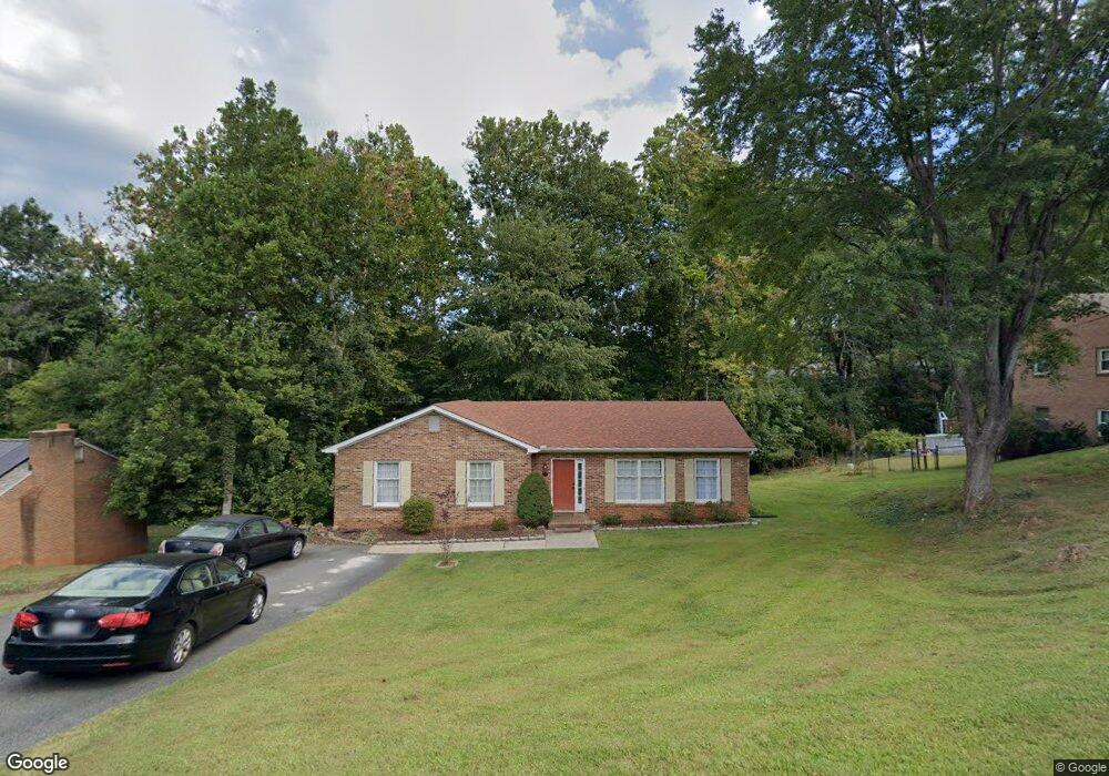
103 Springvale Dr Lynchburg, VA 24502
Kenwood Hills NeighborhoodEstimated Value: $297,000 - $348,000
3
Beds
2
Baths
1,401
Sq Ft
$226/Sq Ft
Est. Value
About This Home
This home is located at 103 Springvale Dr, Lynchburg, VA 24502 and is currently estimated at $316,533, approximately $225 per square foot. 103 Springvale Dr is a home located in Lynchburg City with nearby schools including Sandusky Elementary School, Sandusky Middle School, and Heritage High School.
Ownership History
Date
Name
Owned For
Owner Type
Purchase Details
Closed on
Oct 26, 2006
Sold by
Bechtold Douglas
Bought by
Walsh Joseph G and Walsh Linda C
Current Estimated Value
Home Financials for this Owner
Home Financials are based on the most recent Mortgage that was taken out on this home.
Original Mortgage
$13,990
Interest Rate
6.31%
Mortgage Type
Stand Alone Second
Create a Home Valuation Report for This Property
The Home Valuation Report is an in-depth analysis detailing your home's value as well as a comparison with similar homes in the area
Home Values in the Area
Average Home Value in this Area
Purchase History
| Date | Buyer | Sale Price | Title Company |
|---|---|---|---|
| Walsh Joseph G | -- | None Available |
Source: Public Records
Mortgage History
| Date | Status | Borrower | Loan Amount |
|---|---|---|---|
| Closed | Walsh Joseph G | $13,990 | |
| Open | Walsh Joseph G | $111,900 |
Source: Public Records
Tax History
| Year | Tax Paid | Tax Assessment Tax Assessment Total Assessment is a certain percentage of the fair market value that is determined by local assessors to be the total taxable value of land and additions on the property. | Land | Improvement |
|---|---|---|---|---|
| 2025 | $2,344 | $279,100 | $45,000 | $234,100 |
| 2024 | $2,035 | $228,600 | $45,000 | $183,600 |
| 2023 | $2,035 | $228,600 | $45,000 | $183,600 |
| 2022 | $1,793 | $174,100 | $35,000 | $139,100 |
| 2021 | $1,933 | $174,100 | $35,000 | $139,100 |
| 2020 | $1,780 | $160,400 | $30,000 | $130,400 |
| 2019 | $1,780 | $160,400 | $30,000 | $130,400 |
| 2018 | $1,721 | $155,000 | $27,000 | $128,000 |
| 2017 | $1,721 | $155,000 | $27,000 | $128,000 |
| 2016 | $1,721 | $155,000 | $27,000 | $128,000 |
| 2015 | $1,721 | $155,000 | $27,000 | $128,000 |
| 2014 | $1,721 | $167,400 | $25,700 | $141,700 |
Source: Public Records
Map
Nearby Homes
- 211 Robin Dr
- 205 Robin Dr
- 207 Northwynd Cir
- 736 Wyndhurst Dr
- 229 Northwynd Cir
- 725 Wyndhurst Dr
- 506 Robin Dr
- 651 Wyndhurst Dr
- 213 Margate Dr
- 115 Thornfield Dr
- 142 Salisbury Cir
- 12 Lockridge Ln
- 14 Emmit Dr
- 110 Emmit Dr
- 226 Salisbury Cir
- 105 Parkview Dr
- 324 Wyndhurst Dr
- 211 Bella Ct
- 224 Lookout Dr
- 206 Simsbury Ln
Your Personal Tour Guide
Ask me questions while you tour the home.