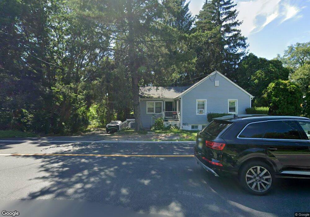
103 State Route 15 N Wharton, NJ 07885
Estimated Value: $318,000 - $393,000
--
Bed
--
Bath
1,280
Sq Ft
$286/Sq Ft
Est. Value
About This Home
This home is located at 103 State Route 15 N, Wharton, NJ 07885 and is currently estimated at $366,114, approximately $286 per square foot. 103 State Route 15 N is a home located in Morris County with nearby schools including Jefferson Township Middle School and Jefferson Township High School.
Ownership History
Date
Name
Owned For
Owner Type
Purchase Details
Closed on
Dec 27, 2016
Sold by
Jung Henry and Jung Jeanette
Bought by
Jung Michael
Current Estimated Value
Home Financials for this Owner
Home Financials are based on the most recent Mortgage that was taken out on this home.
Original Mortgage
$160,000
Outstanding Balance
$131,742
Interest Rate
4.09%
Mortgage Type
Purchase Money Mortgage
Estimated Equity
$234,373
Purchase Details
Closed on
Jul 17, 1995
Sold by
Cramer Carol Joy and Laoudis Carol J
Bought by
Jung Henry and Jung Jeanette
Create a Home Valuation Report for This Property
The Home Valuation Report is an in-depth analysis detailing your home's value as well as a comparison with similar homes in the area
Home Values in the Area
Average Home Value in this Area
Purchase History
| Date | Buyer | Sale Price | Title Company |
|---|---|---|---|
| Jung Michael | $170,000 | None Available | |
| Jung Henry | $62,000 | -- |
Source: Public Records
Mortgage History
| Date | Status | Borrower | Loan Amount |
|---|---|---|---|
| Open | Jung Michael | $160,000 |
Source: Public Records
Tax History Compared to Growth
Tax History
| Year | Tax Paid | Tax Assessment Tax Assessment Total Assessment is a certain percentage of the fair market value that is determined by local assessors to be the total taxable value of land and additions on the property. | Land | Improvement |
|---|---|---|---|---|
| 2025 | $5,641 | $187,900 | $81,700 | $106,200 |
| 2024 | $5,498 | $187,900 | $81,700 | $106,200 |
| 2023 | $5,498 | $187,900 | $81,700 | $106,200 |
| 2022 | $5,250 | $187,900 | $81,700 | $106,200 |
| 2021 | $5,250 | $187,900 | $81,700 | $106,200 |
| 2020 | $5,162 | $187,900 | $81,700 | $106,200 |
| 2019 | $4,901 | $178,300 | $81,100 | $97,200 |
| 2018 | $4,784 | $171,600 | $78,200 | $93,400 |
| 2017 | $4,609 | $162,400 | $73,900 | $88,500 |
| 2016 | $4,388 | $163,200 | $73,900 | $89,300 |
| 2015 | $4,435 | $161,100 | $73,900 | $87,200 |
| 2014 | $4,387 | $161,100 | $73,900 | $87,200 |
Source: Public Records
Map
Nearby Homes
- 622 Berkshire Valley Rd
- 55 Taylor Rd
- 15 River Rd (Aka Larry Rd)
- 15 River Rd
- 692 Skyline Dr
- 52 W Union Turnpike
- 12 Sunset Dr
- 56 Minnisink Rd
- 322 Richard Mine Rd Unit 9
- 322 Richard Mine Rd Unit 4
- 0 Ackerman Unit 3950182
- 399 N Main St
- 22145 Westview
- 322 P7 Richard Mine Rd Unit 7
- 19123 Westview Unit 19123
- 24 Southard Rd
- 6 Lorac Ln
- 13 Stonehenge Rd
- 73 Edison Rd
- 31 Cove Rd
- 103 New Jersey 15
- 105 State Route 15 S
- 95 State Route 15 N
- 101 State Route 15 S
- 111 State Route 15 S
- 117 State Route 15 S
- 117 New Jersey 15
- 93 State Route 15 S
- 87 State Route 15 N
- 119 State Route 15 N
- 123 State Route 15 S
- 11 Ludlow St
- 110 New Jersey 15
- 90 State Route 15 S
- 88 New Jersey 15
- 7 Ludlow St
- 110 State Route 15 S
- 88 State Route 15 S
- 21 Ludlow St
- 127 State Route 15 S