Estimated Value: $333,000 - $412,000
4
Beds
1
Bath
1,152
Sq Ft
$328/Sq Ft
Est. Value
About This Home
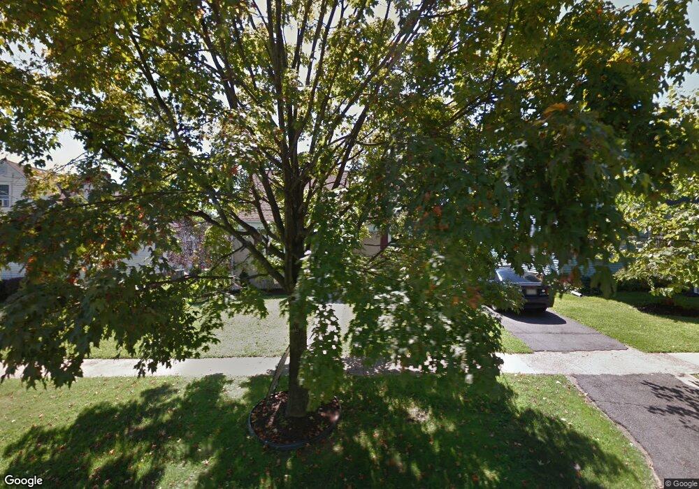
This home is located at 103 Summit Ave, Ewing, NJ 08628 and is currently estimated at $378,185, approximately $328 per square foot. 103 Summit Ave is a home located in Mercer County with nearby schools including Ewing High School, The Village Charter School, and Villa Victoria Academy.
Ownership History
Date
Name
Owned For
Owner Type
Purchase Details
Closed on
Jul 28, 2016
Sold by
Porter Dennis C
Bought by
Porter Kimberly
Current Estimated Value
Purchase Details
Closed on
Feb 17, 2009
Sold by
Lindstrom Jeffrey Thomas and Lindstrom Suzanne
Bought by
Porter Dennis C and Porter Kimberly
Home Financials for this Owner
Home Financials are based on the most recent Mortgage that was taken out on this home.
Original Mortgage
$196,250
Interest Rate
5.14%
Mortgage Type
FHA
Purchase Details
Closed on
Aug 31, 2000
Sold by
Klosinski Jeffrey
Bought by
Lindstrom Jeffrey and Lindstrom Suzanne
Home Financials for this Owner
Home Financials are based on the most recent Mortgage that was taken out on this home.
Original Mortgage
$104,946
Interest Rate
8.1%
Mortgage Type
FHA
Purchase Details
Closed on
Jan 7, 1992
Sold by
Klosinski Jeffrey K and Klosinski Sharon L
Bought by
Klosinski Jeffrey K and Klosinski Sharon L
Purchase Details
Closed on
May 18, 1990
Sold by
Alba Mary C
Bought by
Klosinski Jeffrey K and Klosinski Sharon L
Create a Home Valuation Report for This Property
The Home Valuation Report is an in-depth analysis detailing your home's value as well as a comparison with similar homes in the area
Home Values in the Area
Average Home Value in this Area
Purchase History
| Date | Buyer | Sale Price | Title Company |
|---|---|---|---|
| Porter Kimberly | -- | None Available | |
| Porter Dennis C | $199,900 | Multiple | |
| Lindstrom Jeffrey | $105,000 | -- | |
| Klosinski Jeffrey K | -- | -- | |
| Klosinski Jeffrey K | $100,000 | -- |
Source: Public Records
Mortgage History
| Date | Status | Borrower | Loan Amount |
|---|---|---|---|
| Previous Owner | Porter Dennis C | $196,250 | |
| Previous Owner | Lindstrom Jeffrey | $104,946 |
Source: Public Records
Tax History
| Year | Tax Paid | Tax Assessment Tax Assessment Total Assessment is a certain percentage of the fair market value that is determined by local assessors to be the total taxable value of land and additions on the property. | Land | Improvement |
|---|---|---|---|---|
| 2025 | $6,635 | $168,700 | $73,000 | $95,700 |
| 2024 | $6,237 | $168,700 | $73,000 | $95,700 |
Source: Public Records
Map
Nearby Homes
- 15 Decou Ave
- 6 Michelle Ct
- 1200 Silvia St
- 322 Wynnewood Rd
- 152 Franklyn Rd
- 107 Kyle Way
- 18 Kyle Way
- 121 Kyle Way
- 59 Kyle Way
- 860 Lower Ferry Rd Unit 5P
- 860 Lower Ferry Rd Unit 4C
- 860 Lower Ferry Rd Unit 2K
- 1183 Lower Ferry Rd
- 1060 Terrace Blvd
- 33 Stratford Ave
- 25 Preston Ave
- 22 Crockett Ln
- 18 Pioneer Ct
- 5 Pioneer Ct
- 22 Farrell Ave
Your Personal Tour Guide
Ask me questions while you tour the home.