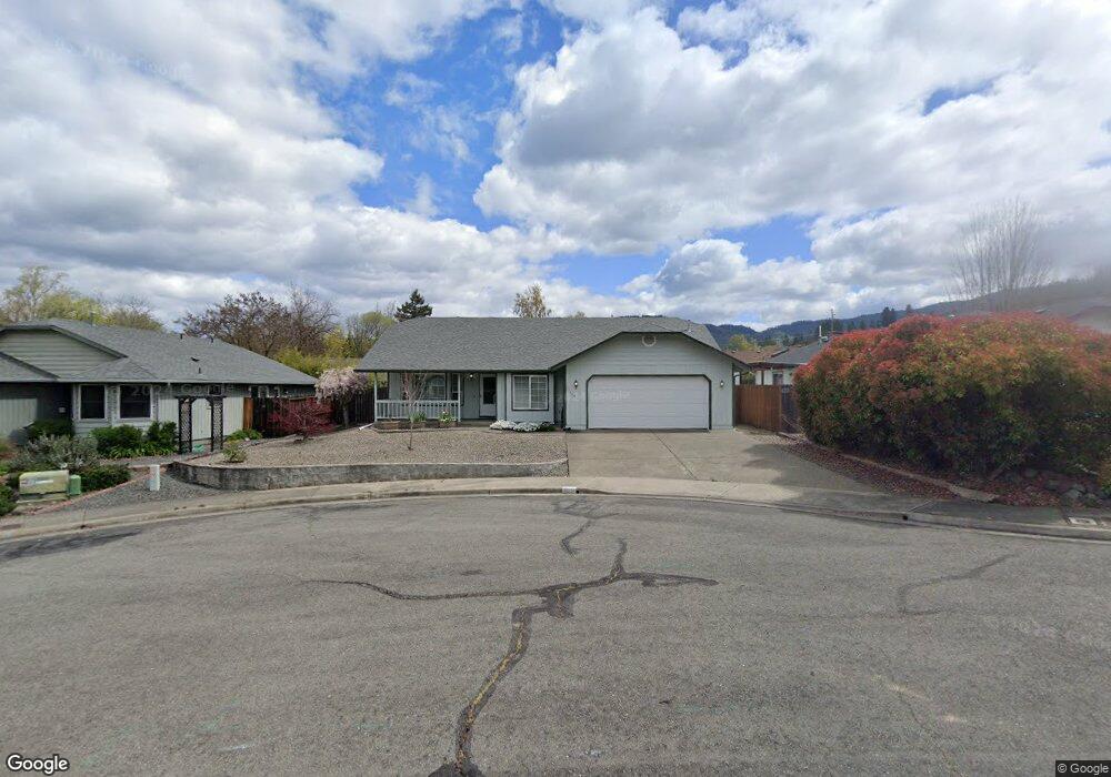
103 Sweetbriar Cir Grants Pass, OR 97527
Estimated Value: $361,044 - $374,000
3
Beds
2
Baths
1,344
Sq Ft
$273/Sq Ft
Est. Value
About This Home
This home is located at 103 Sweetbriar Cir, Grants Pass, OR 97527 and is currently estimated at $367,522, approximately $273 per square foot. 103 Sweetbriar Cir is a home located in Josephine County with nearby schools including Allen Dale Elementary School, South Middle School, and Grants Pass High School.
Ownership History
Date
Name
Owned For
Owner Type
Purchase Details
Closed on
Oct 7, 2020
Sold by
Friese Lori
Bought by
Friese Daniel A
Current Estimated Value
Purchase Details
Closed on
Jun 27, 2005
Sold by
Nagy Joseph W and Nagy Mary Lou
Bought by
Friese Lori
Home Financials for this Owner
Home Financials are based on the most recent Mortgage that was taken out on this home.
Original Mortgage
$50,100
Interest Rate
5.72%
Mortgage Type
Fannie Mae Freddie Mac
Create a Home Valuation Report for This Property
The Home Valuation Report is an in-depth analysis detailing your home's value as well as a comparison with similar homes in the area
Home Values in the Area
Average Home Value in this Area
Purchase History
| Date | Buyer | Sale Price | Title Company |
|---|---|---|---|
| Friese Daniel A | -- | None Available | |
| Friese Lori | $247,000 | Ticor Title |
Source: Public Records
Mortgage History
| Date | Status | Borrower | Loan Amount |
|---|---|---|---|
| Previous Owner | Friese Lori | $50,100 |
Source: Public Records
Tax History Compared to Growth
Tax History
| Year | Tax Paid | Tax Assessment Tax Assessment Total Assessment is a certain percentage of the fair market value that is determined by local assessors to be the total taxable value of land and additions on the property. | Land | Improvement |
|---|---|---|---|---|
| 2025 | $2,852 | $219,640 | -- | -- |
| 2024 | $2,852 | $213,250 | -- | -- |
| 2023 | $2,770 | $207,040 | $0 | $0 |
| 2022 | $2,699 | $201,010 | -- | -- |
| 2021 | $2,535 | $195,160 | $0 | $0 |
| 2020 | $2,462 | $189,480 | $0 | $0 |
| 2019 | $2,391 | $183,970 | $0 | $0 |
| 2018 | $2,433 | $178,620 | $0 | $0 |
| 2017 | $2,415 | $173,420 | $0 | $0 |
| 2016 | $2,123 | $168,370 | $0 | $0 |
| 2015 | $2,054 | $163,470 | $0 | $0 |
| 2014 | $1,997 | $158,710 | $0 | $0 |
Source: Public Records
Map
Nearby Homes
- 101 SE Liberty Dr
- 1764 Harbeck Rd
- 426 SE Cadet Ct
- 185 Independence Dr
- 395 Grandview Ln
- 111 Brandy Ln
- 681 W Harbeck Rd
- 0 Fruitdale Lilac Hilltop Shepha Dr Unit 220196701
- 444 Union Ave Unit TL 1700
- 444 Union Ave Unit TL 1600
- 1626 Poplar Dr
- 2931 Harbeck Rd
- 0 Ramsey Southwest Ave SW Unit 220201654
- 855 SW West Harbeck Rd
- 1736 Drury Ln
- 333 W Park St
- 1095 Lee Roze Ln
- 805 Bower Ln
- 1550 Drury Ln
- 423 W Park St
- 109 Sweetbriar Cir
- 204 SE Liberty Dr
- 106 Freedom Cir
- 200 SE Liberty Dr
- 110 Freedom Cir
- 110 Sweetbriar Cir
- 104 Sweetbriar Cir
- 300 SE Liberty Dr
- 209 Grandview Ave
- 209 SE Liberty Dr
- 211 SE Liberty Dr
- 193 Grandview Ave
- 205 SE Liberty Dr
- 301 SE Liberty Dr
- 201 SE Liberty Dr
- 109 Freedom Cir
- 105 Harmony Cir
- 106 SE Liberty Dr
- 107 Freedom Cir
- 225 SE Grandview Ave