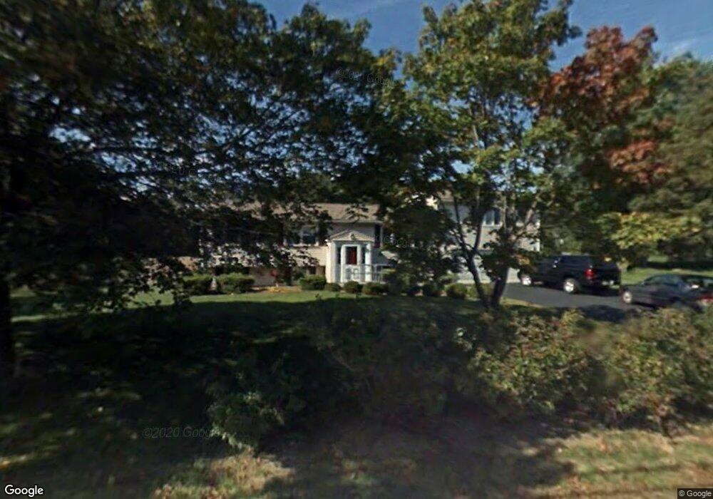
103 Tecumseh Dr Hanover, MA 02339
Estimated Value: $815,492 - $969,000
4
Beds
2
Baths
2,215
Sq Ft
$393/Sq Ft
Est. Value
About This Home
This home is located at 103 Tecumseh Dr, Hanover, MA 02339 and is currently estimated at $869,623, approximately $392 per square foot. 103 Tecumseh Dr is a home located in Plymouth County with nearby schools including Hanover High School and Cardinal Cushing Centers.
Ownership History
Date
Name
Owned For
Owner Type
Purchase Details
Closed on
Feb 27, 2009
Sold by
Gordon William J and Gordon Michelle M
Bought by
Adams Timothy C and Adams Nadine M
Current Estimated Value
Home Financials for this Owner
Home Financials are based on the most recent Mortgage that was taken out on this home.
Original Mortgage
$312,000
Interest Rate
5%
Mortgage Type
Purchase Money Mortgage
Purchase Details
Closed on
Jan 31, 2008
Sold by
Gavin Stephen T
Bought by
Gordon Michelle M and Gordon William J
Purchase Details
Closed on
Jun 22, 2007
Sold by
Chock Pery and Chock Meena
Bought by
Gavin Stephen T
Purchase Details
Closed on
Oct 23, 1992
Sold by
Messina Joseph and Messina Donna L
Bought by
Chock Pery and Chock Chockalingam M
Create a Home Valuation Report for This Property
The Home Valuation Report is an in-depth analysis detailing your home's value as well as a comparison with similar homes in the area
Home Values in the Area
Average Home Value in this Area
Purchase History
| Date | Buyer | Sale Price | Title Company |
|---|---|---|---|
| Adams Timothy C | $392,500 | -- | |
| Adams Timothy C | $392,500 | -- | |
| Gordon Michelle M | $400,000 | -- | |
| Gordon Michelle M | $400,000 | -- | |
| Gavin Stephen T | $449,900 | -- | |
| Gavin Stephen T | $449,900 | -- | |
| Chock Pery | $147,000 | -- | |
| Chock Pery | $147,000 | -- |
Source: Public Records
Mortgage History
| Date | Status | Borrower | Loan Amount |
|---|---|---|---|
| Open | Chock Pery | $306,000 | |
| Closed | Chock Pery | $312,000 |
Source: Public Records
Tax History
| Year | Tax Paid | Tax Assessment Tax Assessment Total Assessment is a certain percentage of the fair market value that is determined by local assessors to be the total taxable value of land and additions on the property. | Land | Improvement |
|---|---|---|---|---|
| 2025 | $9,166 | $742,200 | $271,500 | $470,700 |
| 2024 | $9,105 | $709,100 | $271,500 | $437,600 |
| 2023 | $9,384 | $695,600 | $246,700 | $448,900 |
| 2022 | $9,460 | $620,300 | $246,700 | $373,600 |
| 2021 | $8,892 | $544,500 | $213,400 | $331,100 |
| 2020 | $8,817 | $540,600 | $213,400 | $327,200 |
| 2019 | $8,008 | $488,000 | $213,400 | $274,600 |
| 2018 | $8,709 | $485,300 | $213,400 | $271,900 |
| 2017 | $7,994 | $483,900 | $213,700 | $270,200 |
| 2016 | $7,830 | $464,400 | $194,200 | $270,200 |
| 2015 | $6,665 | $412,700 | $194,200 | $218,500 |
Source: Public Records
Map
Nearby Homes
- 95 Tecumseh Dr
- 75 School St
- 561 Circuit St
- 108 Waterford Dr
- 36 Grove St
- 51 Cervelli Farm Dr
- 37 Dr
- 23 Cervelli Farm Dr
- 38 Cervelli Farm Dr
- 9 Cervelli Farm Dr
- 250 Center St
- 139 Fairwood Dr
- 430 Brook Bend Rd
- 114 Graham Hill Dr
- 696 Summer St
- 823 Market St
- 17 Hayford Trail Unit 12
- 7 Hayford Trail Unit 12
- 5 Hayford Trail Unit 11
- 339 State St
Your Personal Tour Guide
Ask me questions while you tour the home.