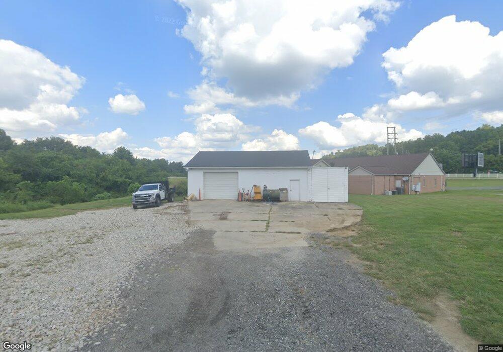
103 Thelma Ave South Point, OH 45680
Estimated Value: $136,000
3
Beds
1
Bath
9,020
Sq Ft
$15/Sq Ft
Est. Value
About This Home
This home is located at 103 Thelma Ave, South Point, OH 45680 and is currently priced at $136,000, approximately $15 per square foot. 103 Thelma Ave is a home located in Lawrence County with nearby schools including South Point High School.
Ownership History
Date
Name
Owned For
Owner Type
Purchase Details
Closed on
Aug 1, 2005
Sold by
Willis Kenneth E and Willis Lillian F
Bought by
Lawrence Economic Development Corp
Current Estimated Value
Home Financials for this Owner
Home Financials are based on the most recent Mortgage that was taken out on this home.
Original Mortgage
$100,000
Interest Rate
5.66%
Mortgage Type
New Conventional
Create a Home Valuation Report for This Property
The Home Valuation Report is an in-depth analysis detailing your home's value as well as a comparison with similar homes in the area
Home Values in the Area
Average Home Value in this Area
Purchase History
| Date | Buyer | Sale Price | Title Company |
|---|---|---|---|
| Lawrence Economic Development Corp | $100,000 | None Available |
Source: Public Records
Mortgage History
| Date | Status | Borrower | Loan Amount |
|---|---|---|---|
| Closed | Lawrence Economic Development Corp | $100,000 |
Source: Public Records
Tax History Compared to Growth
Tax History
| Year | Tax Paid | Tax Assessment Tax Assessment Total Assessment is a certain percentage of the fair market value that is determined by local assessors to be the total taxable value of land and additions on the property. | Land | Improvement |
|---|---|---|---|---|
| 2024 | -- | $392,290 | $15,420 | $376,870 |
| 2023 | $13,988 | $392,290 | $15,420 | $376,870 |
| 2022 | $13,902 | $392,290 | $15,420 | $376,870 |
| 2021 | $13,861 | $360,960 | $14,770 | $346,190 |
| 2020 | $13,756 | $360,960 | $14,770 | $346,190 |
| 2019 | $10,463 | $277,030 | $14,770 | $262,260 |
| 2018 | $222 | $5,940 | $5,940 | $0 |
| 2017 | $222 | $5,940 | $5,940 | $0 |
| 2016 | $1,323 | $37,320 | $7,920 | $29,400 |
| 2015 | $1,264 | $33,410 | $7,930 | $25,480 |
| 2014 | $1,262 | $33,410 | $7,930 | $25,480 |
| 2013 | $1,145 | $33,410 | $7,930 | $25,480 |
Source: Public Records
Map
Nearby Homes
- 110 Kitts Ln
- 105 Orchard Dr
- 102 Park Ave
- 205 Michael St
- 109 Delores Ave
- 0 Township Road 161 Unit 182331
- 101 Henray Dr
- 108 Ferry St
- 00 County Road 1
- 0 Orchard Dr Unit Old Farme Subdivisio
- 202 Lea St
- 609 4th St E
- 0 Twp R 135
- 404 Township Road 135
- 0 Township Road 135
- 1184 County Road 18
- 2904 County Road 1
- 0 County Road 1
- 2800 Walnut St
- 3166 Oakland Ave
- 101 Thelma Ave
- 102 Thelma Ave
- 117 Sand Rd
- 119 Sand Rd
- 113 Sand Rd
- 121 Sand Rd
- 109 Sand Rd
- 111 Sand Rd
- 111 Sand Rd Unit JO-24
- 107 County Road 60 Ln
- 101 Conley St
- 103 Conley St
- 105 Conley St
- 107 Conley St
- 409 Dean St
- 606 Washington St
- 604 Washington St
- 602 Washington St
- 404 Margaret St
- 409 Margaret St