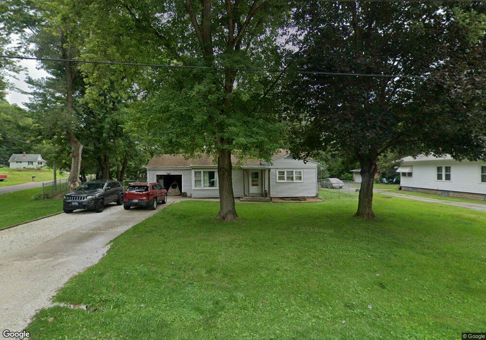
103 Urbandale St East Peoria, IL 61611
Estimated Value: $92,000 - $140,000
2
Beds
1
Bath
1,728
Sq Ft
$71/Sq Ft
Est. Value
About This Home
This home is located at 103 Urbandale St, East Peoria, IL 61611 and is currently estimated at $122,570, approximately $70 per square foot. 103 Urbandale St is a home located in Tazewell County with nearby schools including Woodrow Wilson Elementary School, Glendale Elementary School, and Central Junior High School.
Ownership History
Date
Name
Owned For
Owner Type
Purchase Details
Closed on
Dec 9, 2008
Sold by
Clark Mary M
Bought by
Schad Quinn E
Current Estimated Value
Home Financials for this Owner
Home Financials are based on the most recent Mortgage that was taken out on this home.
Original Mortgage
$61,050
Outstanding Balance
$41,042
Interest Rate
6.49%
Mortgage Type
FHA
Estimated Equity
$81,528
Purchase Details
Closed on
Mar 17, 2006
Sold by
Lee Howard R and Lee Carolyn J
Bought by
Clark Mary M
Home Financials for this Owner
Home Financials are based on the most recent Mortgage that was taken out on this home.
Original Mortgage
$12,900
Interest Rate
9.62%
Mortgage Type
Credit Line Revolving
Create a Home Valuation Report for This Property
The Home Valuation Report is an in-depth analysis detailing your home's value as well as a comparison with similar homes in the area
Home Values in the Area
Average Home Value in this Area
Purchase History
| Date | Buyer | Sale Price | Title Company |
|---|---|---|---|
| Schad Quinn E | $67,000 | None Available | |
| Clark Mary M | $64,500 | Chicago Title |
Source: Public Records
Mortgage History
| Date | Status | Borrower | Loan Amount |
|---|---|---|---|
| Open | Schad Quinn E | $61,050 | |
| Previous Owner | Clark Mary M | $12,900 | |
| Previous Owner | Clark Mary M | $51,600 |
Source: Public Records
Tax History Compared to Growth
Tax History
| Year | Tax Paid | Tax Assessment Tax Assessment Total Assessment is a certain percentage of the fair market value that is determined by local assessors to be the total taxable value of land and additions on the property. | Land | Improvement |
|---|---|---|---|---|
| 2024 | $2,066 | $29,710 | $5,100 | $24,610 |
| 2023 | $2,066 | $27,340 | $4,690 | $22,650 |
| 2022 | $1,933 | $25,410 | $4,360 | $21,050 |
| 2021 | $1,830 | $24,430 | $4,190 | $20,240 |
| 2020 | $1,721 | $23,720 | $4,070 | $19,650 |
| 2019 | $1,710 | $23,720 | $4,070 | $19,650 |
| 2018 | $1,663 | $23,720 | $4,070 | $19,650 |
| 2017 | $1,648 | $23,490 | $4,030 | $19,460 |
| 2016 | $1,607 | $23,490 | $4,030 | $19,460 |
| 2015 | $1,575 | $0 | $0 | $0 |
| 2013 | $1,585 | $23,490 | $4,030 | $19,460 |
Source: Public Records
Map
Nearby Homes
- 717 Bloomington Rd
- 615 Meadow Ave
- 223 Kerfoot St
- 123 Terrace Ln
- Lot 7 Sundance Ln
- 1513 Bloomington Rd
- 950 N Main St
- 700 N Main St
- 208 Montrose Ave
- 210 Stewart St
- 1004 Springfield Rd
- 0000 Highway 24
- 117 Greenlawn Ct
- 322 Schulzki Ln
- 315 Pekin Ave
- 1406 Springfield Rd
- 125 Canterbury Ct
- 106 Field Grove Rd
- 1604 Springfield Rd
- 104 N Inglewood Dr
- 105 Urbandale St
- 104 Urbandale St
- 171 Shadoway Dr
- 108 Urbandale St
- 112 Urbandale St
- 121 Urbandale St
- 170 Shadoway Dr
- 165 Shadoway Dr
- 116 Urbandale St
- 208 Shadoway Dr
- 132 Urbandale St
- 243 Shadoway Dr
- 137 Urbandale St
- 161 Shadoway Dr
- 164 Shadoway Dr
- 141 Urbandale St
- 159 Shadoway Dr
- 140 Urbandale St
- 136 Urbandale St