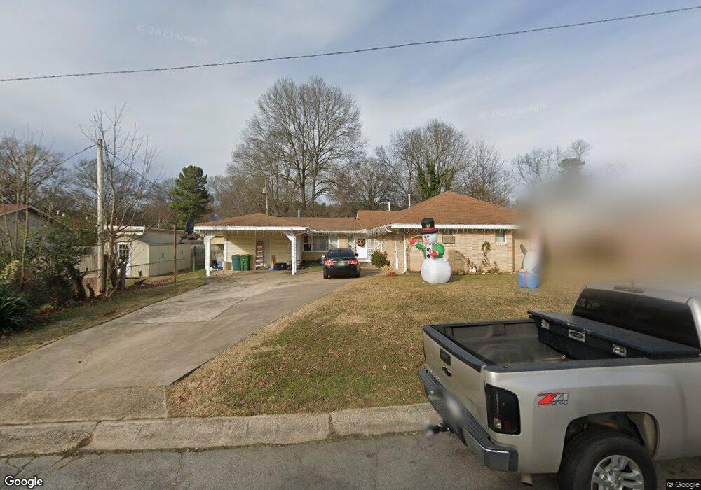
103 Utah St North Little Rock, AR 72118
Amboy NeighborhoodEstimated Value: $104,804 - $165,000
--
Bed
1
Bath
1,620
Sq Ft
$90/Sq Ft
Est. Value
About This Home
This home is located at 103 Utah St, North Little Rock, AR 72118 and is currently estimated at $145,451, approximately $89 per square foot. 103 Utah St is a home located in Pulaski County with nearby schools including Amboy Elementary School, North Little Rock Middle School 6th Grade Campus, and North Little Rock High School.
Ownership History
Date
Name
Owned For
Owner Type
Purchase Details
Closed on
Apr 9, 2009
Sold by
Threlkeld Ronald
Bought by
Threlkeld Ronald and Threlkeld Mary
Current Estimated Value
Home Financials for this Owner
Home Financials are based on the most recent Mortgage that was taken out on this home.
Original Mortgage
$96,000
Interest Rate
4.7%
Mortgage Type
Stand Alone Refi Refinance Of Original Loan
Purchase Details
Closed on
Jun 29, 2001
Sold by
The Ranch Properties Inc
Bought by
Fox Tony L and Fox Julie A
Home Financials for this Owner
Home Financials are based on the most recent Mortgage that was taken out on this home.
Original Mortgage
$248,000
Interest Rate
7.16%
Mortgage Type
Construction
Create a Home Valuation Report for This Property
The Home Valuation Report is an in-depth analysis detailing your home's value as well as a comparison with similar homes in the area
Home Values in the Area
Average Home Value in this Area
Purchase History
| Date | Buyer | Sale Price | Title Company |
|---|---|---|---|
| Threlkeld Ronald | -- | None Available | |
| Fox Tony L | $49,000 | First National Title Company |
Source: Public Records
Mortgage History
| Date | Status | Borrower | Loan Amount |
|---|---|---|---|
| Closed | Threlkeld Ronald | $96,000 | |
| Closed | Fox Tony L | $248,000 |
Source: Public Records
Tax History Compared to Growth
Tax History
| Year | Tax Paid | Tax Assessment Tax Assessment Total Assessment is a certain percentage of the fair market value that is determined by local assessors to be the total taxable value of land and additions on the property. | Land | Improvement |
|---|---|---|---|---|
| 2025 | $955 | $14,676 | $2,500 | $12,176 |
| 2024 | $819 | $14,676 | $2,500 | $12,176 |
| 2023 | $819 | $14,676 | $2,500 | $12,176 |
| 2022 | $751 | $24,784 | $2,500 | $22,284 |
| 2021 | $683 | $10,220 | $2,300 | $7,920 |
| 2020 | $683 | $10,220 | $2,300 | $7,920 |
| 2019 | $683 | $10,220 | $2,300 | $7,920 |
| 2018 | $683 | $10,220 | $2,300 | $7,920 |
| 2017 | $683 | $10,220 | $2,300 | $7,920 |
| 2016 | $800 | $11,970 | $3,000 | $8,970 |
| 2015 | $800 | $11,970 | $3,000 | $8,970 |
| 2014 | $800 | $11,970 | $3,000 | $8,970 |
Source: Public Records
Map
Nearby Homes
- 409 Harper Ln
- 702 E Military Dr
- 4920 Lee St
- 5709 Shamrock Dr
- 2304 Ella Ct
- 319 Wilson St
- 2215 Coors Dr
- 1400 Nicole Dr
- 261 E Military Dr
- 5612 Division St
- 47 Sunset Dr
- Lot 87 Foxboro Dr
- Lot 86 Foxboro Dr
- Lot 85 Foxboro Dr
- Lot 84 Foxboro Dr
- Lot 83 Foxboro Dr
- Lot 82 Foxboro Dr
- Lot 96 Foxboro Dr
- Lot 95 Foxboro Dr
- Lot 90 Foxboro Dr