103 Uxbridge Cherry Hill, NJ 08034
Estimated Value: $332,977 - $413,000
--
Bed
--
Bath
1,232
Sq Ft
$307/Sq Ft
Est. Value
About This Home
This home is located at 103 Uxbridge, Cherry Hill, NJ 08034 and is currently estimated at $377,994, approximately $306 per square foot. 103 Uxbridge is a home located in Camden County with nearby schools including Horace Mann Elementary School, John A Carusi Middle School, and Cherry Hill High-West High School.
Ownership History
Date
Name
Owned For
Owner Type
Purchase Details
Closed on
Dec 3, 2019
Sold by
Toscano Donald F and Toscano Geraldine M
Bought by
The Toscano Family Trust
Current Estimated Value
Purchase Details
Closed on
Nov 10, 2017
Sold by
Mandle Marlene B
Bought by
Toscano Donald F and Toscano Geraldine M
Home Financials for this Owner
Home Financials are based on the most recent Mortgage that was taken out on this home.
Original Mortgage
$175,920
Outstanding Balance
$147,762
Interest Rate
3.94%
Mortgage Type
New Conventional
Estimated Equity
$230,232
Purchase Details
Closed on
Nov 15, 1999
Sold by
Hopkins Allen V
Bought by
Mandle Marlene B
Home Financials for this Owner
Home Financials are based on the most recent Mortgage that was taken out on this home.
Original Mortgage
$50,000
Interest Rate
7.73%
Create a Home Valuation Report for This Property
The Home Valuation Report is an in-depth analysis detailing your home's value as well as a comparison with similar homes in the area
Home Values in the Area
Average Home Value in this Area
Purchase History
| Date | Buyer | Sale Price | Title Company |
|---|---|---|---|
| The Toscano Family Trust | -- | None Available | |
| Toscano Donald F | $219,900 | None Available | |
| Mandle Marlene B | $102,000 | -- |
Source: Public Records
Mortgage History
| Date | Status | Borrower | Loan Amount |
|---|---|---|---|
| Open | Toscano Donald F | $175,920 | |
| Previous Owner | Mandle Marlene B | $50,000 |
Source: Public Records
Tax History Compared to Growth
Tax History
| Year | Tax Paid | Tax Assessment Tax Assessment Total Assessment is a certain percentage of the fair market value that is determined by local assessors to be the total taxable value of land and additions on the property. | Land | Improvement |
|---|---|---|---|---|
| 2025 | $5,886 | $132,000 | $30,000 | $102,000 |
| 2024 | $5,547 | $132,000 | $30,000 | $102,000 |
| 2023 | $5,547 | $132,000 | $30,000 | $102,000 |
| 2022 | $5,394 | $132,000 | $30,000 | $102,000 |
| 2021 | $5,411 | $132,000 | $30,000 | $102,000 |
| 2020 | $5,345 | $132,000 | $30,000 | $102,000 |
| 2019 | $5,342 | $132,000 | $30,000 | $102,000 |
| 2018 | $5,328 | $132,000 | $30,000 | $102,000 |
| 2017 | $5,255 | $132,000 | $30,000 | $102,000 |
| 2016 | $5,185 | $132,000 | $30,000 | $102,000 |
| 2015 | $5,103 | $132,000 | $30,000 | $102,000 |
| 2014 | $5,046 | $132,000 | $30,000 | $102,000 |
Source: Public Records
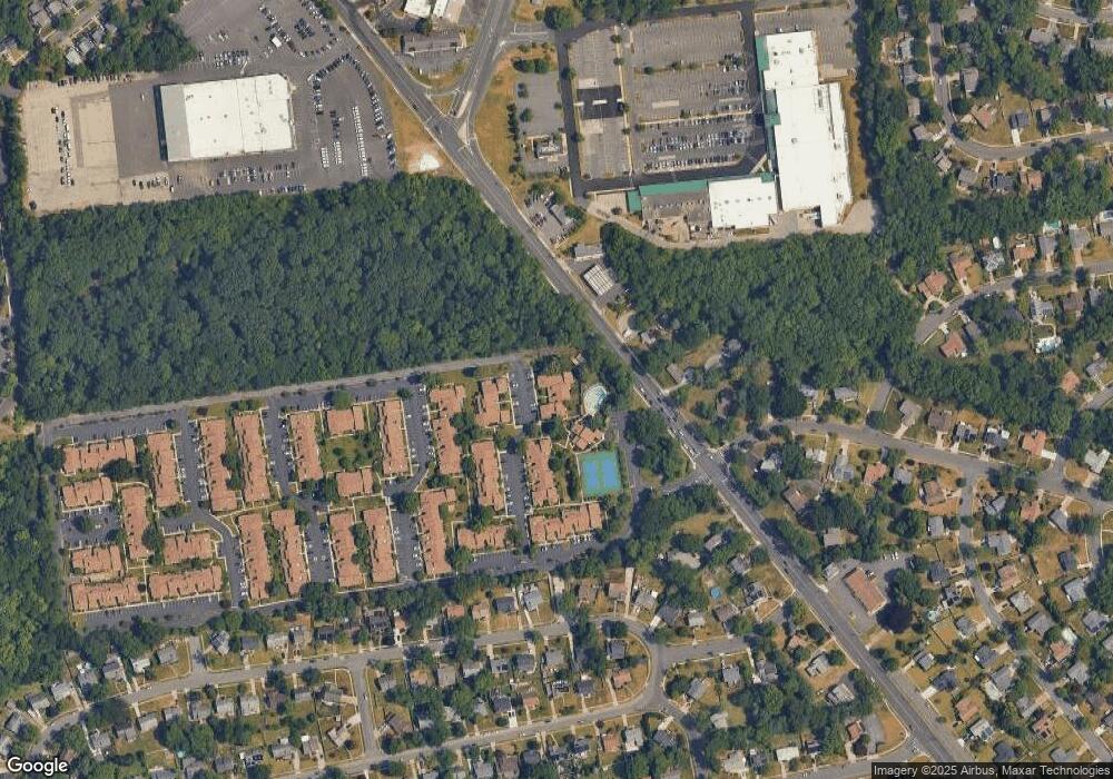
Map
Nearby Homes
- 140 Uxbridge Unit C0140
- 175 Mansfield Blvd N
- 191 Uxbridge
- 9 Maplebrook Ct
- 318 Provincetown Rd
- 300 Portsmouth Rd
- 290 Tavistock
- 1000 Roumfort Ave
- 385 Tavistock
- 31 Moore Ave
- 307 Provincetown Cir
- 16 Moore Ave
- 125 E Valleybrook Rd
- 127 Oakdale Rd
- 1010 Salem Rd
- 205 Park Ln
- 359 Bortons Mill Rd
- 613 Centre St
- 195 Pearlcroft Rd
- 311 Lincoln Ave