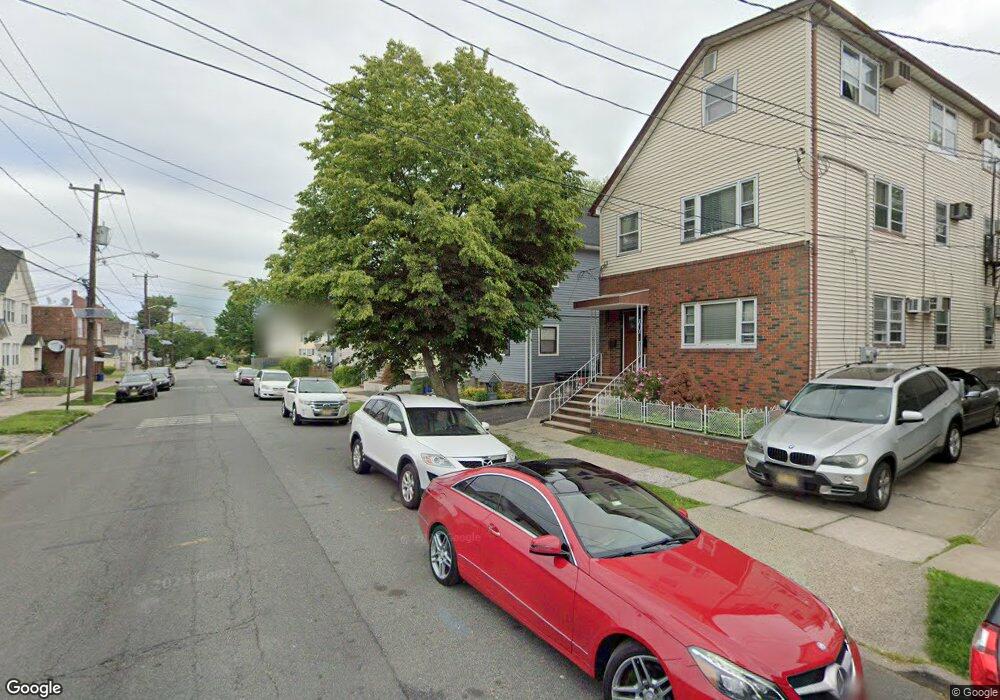
103 W 15th St Linden, NJ 07036
Estimated Value: $505,000 - $722,000
--
Bed
--
Bath
2,346
Sq Ft
$265/Sq Ft
Est. Value
About This Home
This home is located at 103 W 15th St, Linden, NJ 07036 and is currently estimated at $621,668, approximately $264 per square foot. 103 W 15th St is a home located in Union County with nearby schools including School No. 2, Myles J. McManus Middle School, and Linden High School.
Ownership History
Date
Name
Owned For
Owner Type
Purchase Details
Closed on
Oct 2, 2017
Sold by
Macik Jonathan and Macik Joseph
Bought by
Macik Inc
Current Estimated Value
Purchase Details
Closed on
Mar 17, 2017
Sold by
Macik Jonathan and Macik Matthew
Bought by
Macik Inc
Purchase Details
Closed on
Jul 15, 2016
Sold by
Hano M - J - Macik, J - M
Bought by
Macik Jonathan - Matthew - Joseph
Purchase Details
Closed on
Oct 17, 2013
Sold by
Macik Anna and Macik Helen
Bought by
Hano Michael and Hano Jennifer
Create a Home Valuation Report for This Property
The Home Valuation Report is an in-depth analysis detailing your home's value as well as a comparison with similar homes in the area
Home Values in the Area
Average Home Value in this Area
Purchase History
| Date | Buyer | Sale Price | Title Company |
|---|---|---|---|
| Macik Inc | $210,000 | None Available | |
| Macik Inc | -- | None Available | |
| Macik Jonathan - Matthew - Joseph | $90,000 | -- | |
| Hano Michael | -- | None Available |
Source: Public Records
Tax History Compared to Growth
Tax History
| Year | Tax Paid | Tax Assessment Tax Assessment Total Assessment is a certain percentage of the fair market value that is determined by local assessors to be the total taxable value of land and additions on the property. | Land | Improvement |
|---|---|---|---|---|
| 2025 | $12,503 | $177,800 | $41,500 | $136,300 |
| 2024 | $12,229 | $177,800 | $41,500 | $136,300 |
| 2023 | $12,229 | $177,800 | $41,500 | $136,300 |
| 2022 | $12,293 | $177,800 | $41,500 | $136,300 |
| 2021 | $12,355 | $177,800 | $41,500 | $136,300 |
| 2020 | $12,290 | $177,800 | $41,500 | $136,300 |
| 2019 | $12,249 | $177,800 | $41,500 | $136,300 |
| 2018 | $12,245 | $177,800 | $41,500 | $136,300 |
| 2017 | $11,980 | $177,800 | $41,500 | $136,300 |
| 2016 | $11,603 | $177,800 | $41,500 | $136,300 |
| 2015 | $11,161 | $177,800 | $41,500 | $136,300 |
| 2014 | $10,944 | $177,800 | $41,500 | $136,300 |
Source: Public Records
Map
Nearby Homes
- 1519 Winans Ave
- 116 W 17th St
- 108 W 18th St
- 321 W 15th St Unit 1
- 1713 S Wood Ave Unit 2
- 111 E 13th St
- 111 E 10th St
- 14 Arlington Place
- 118 Union Ave Unit 2
- 317 Mitchell Ave
- 221 Jefferson Ave
- 212 W Morris Ave
- 210 Buchanan St
- 2617 Grasselli Ave
- 120 S Stiles St
- 2604 Parkway Ave Unit 2
- 221 Madison St
- 226 Pennsylvania Railroad Ave
- 104 E Elizabeth Ave
- 10 N Wood Ave Unit 706
- 117 W 15th St
- 1506 Winans Ave
- 1508 Winans Ave
- 1504 Winans Ave
- 1510 Winans Ave
- 119 W 15th St
- 1502 Winans Ave
- 1512 Winans Ave
- 1514 Winans Ave
- 1516 Winans Ave
- 110 W 16th St
- 116 W 16th St
- 1518 Winans Ave
- 123 W 15th St
- 118 W 16th St
- 1522 Winans Ave
- 201 W 15th St
- 122 W 16th St
- 122 W 16th St Unit A
- 1524 Winans Ave