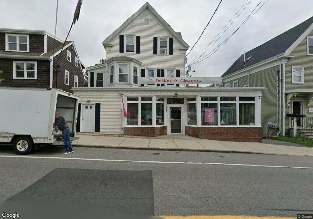
103 Washington St Gloucester, MA 01930
Central Gloucester NeighborhoodEstimated Value: $782,254
6
Beds
2
Baths
2,926
Sq Ft
$267/Sq Ft
Est. Value
About This Home
This home is located at 103 Washington St, Gloucester, MA 01930 and is currently estimated at $782,254, approximately $267 per square foot. 103 Washington St is a home located in Essex County with nearby schools including Beeman Memorial, Ralph B O'maley Middle School, and Gloucester High School.
Ownership History
Date
Name
Owned For
Owner Type
Purchase Details
Closed on
Mar 31, 2011
Sold by
Maletti Family Llc
Bought by
Gloucester City Of
Current Estimated Value
Purchase Details
Closed on
Mar 7, 2006
Sold by
Spoon Grace M and Spoon Robert L
Bought by
Maletti Ft Llc
Home Financials for this Owner
Home Financials are based on the most recent Mortgage that was taken out on this home.
Original Mortgage
$400,000
Interest Rate
6.16%
Mortgage Type
Commercial
Create a Home Valuation Report for This Property
The Home Valuation Report is an in-depth analysis detailing your home's value as well as a comparison with similar homes in the area
Home Values in the Area
Average Home Value in this Area
Purchase History
| Date | Buyer | Sale Price | Title Company |
|---|---|---|---|
| Gloucester City Of | $2,652 | -- | |
| Maletti Ft Llc | $400,000 | -- |
Source: Public Records
Mortgage History
| Date | Status | Borrower | Loan Amount |
|---|---|---|---|
| Previous Owner | Maletti Ft Llc | $400,000 |
Source: Public Records
Tax History Compared to Growth
Tax History
| Year | Tax Paid | Tax Assessment Tax Assessment Total Assessment is a certain percentage of the fair market value that is determined by local assessors to be the total taxable value of land and additions on the property. | Land | Improvement |
|---|---|---|---|---|
| 2025 | $5,165 | $531,400 | $231,600 | $299,800 |
| 2024 | $4,334 | $514,000 | $220,500 | $293,500 |
| 2023 | $0 | $486,300 | $196,900 | $289,400 |
| 2022 | $0 | $410,800 | $162,700 | $248,100 |
| 2021 | $0 | $354,600 | $147,900 | $206,700 |
| 2020 | $4,334 | $340,200 | $147,900 | $192,300 |
| 2019 | $0 | $338,100 | $147,900 | $190,200 |
| 2018 | $0 | $334,000 | $147,900 | $186,100 |
| 2017 | $0 | $324,900 | $140,900 | $184,000 |
| 2016 | -- | $309,900 | $141,000 | $168,900 |
| 2015 | -- | $309,900 | $141,000 | $168,900 |
Source: Public Records
Map
Nearby Homes
- 8 Summer St Unit 103
- 5 Washington Square
- 33 Maplewood Ave Unit 21
- 35 Middle St Unit 4
- 33 Middle St
- 119 Pleasant St
- 90 Middle St Unit L
- 15 Harvard St
- 16 Cleveland Place Unit 11
- 191 Main St Unit 2B
- 191 Main St Unit 3
- 191 Main St Unit 2A
- 196 Washington St
- 40 Sargent St
- 78 Grove St
- 4 Mount Vernon St
- 19 Mystic Ave
- 160 Prospect St Unit 3
- 22 Taylor St Unit 1
- 65 Poplar St
- 109 Washington St
- 6 Addison St
- 8 Addison St
- 104 Washington St
- 3 Addison St
- 3 Addison St Unit 2
- 111 Washington St
- 116 Washington St
- 5 Addison St
- 7 Pearl St
- 12 Addison St
- 106A Washington St
- 7 Addison St
- 2 Commonwealth Ave
- 96 Washington St
- 102 Washington St
- 95/97 Washington St Unit 2
- 95/97 Washington St Unit 3
- 97 Washington St Unit 3
- 97 Washington St