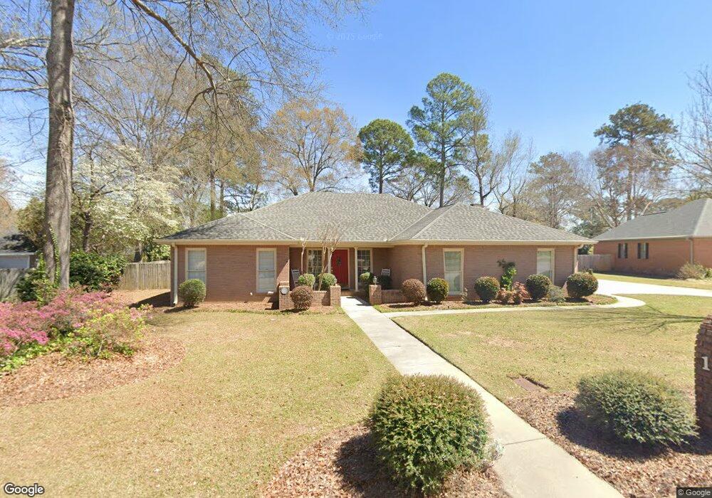
103 Wedge Way Warner Robins, GA 31088
Estimated Value: $326,325 - $374,000
Studio
1
Bath
2,376
Sq Ft
$148/Sq Ft
Est. Value
About This Home
This home is located at 103 Wedge Way, Warner Robins, GA 31088 and is currently estimated at $351,081, approximately $147 per square foot. 103 Wedge Way is a home located in Houston County with nearby schools including Bonaire Elementary School, Huntington Middle School, and Warner Robins High School.
Ownership History
Date
Name
Owned For
Owner Type
Purchase Details
Closed on
Sep 30, 2021
Sold by
Roane Frances E and Roane Mack D
Bought by
Roane Mack D and Roane Frances
Current Estimated Value
Purchase Details
Closed on
Aug 1, 1988
Sold by
Rubinski Richard A and Lisa W*
Bought by
Roane Mack D and Roane Frances E
Purchase Details
Closed on
Mar 29, 1988
Sold by
Stathams Landing Co
Bought by
Rubinski Richard A and Lisa W*
Create a Home Valuation Report for This Property
The Home Valuation Report is an in-depth analysis detailing your home's value as well as a comparison with similar homes in the area
Home Values in the Area
Average Home Value in this Area
Purchase History
| Date | Buyer | Sale Price | Title Company |
|---|---|---|---|
| Roane Mack D | -- | None Available | |
| Roane Mack D | $119,400 | -- | |
| Rubinski Richard A | $22,500 | -- |
Source: Public Records
Tax History
| Year | Tax Paid | Tax Assessment Tax Assessment Total Assessment is a certain percentage of the fair market value that is determined by local assessors to be the total taxable value of land and additions on the property. | Land | Improvement |
|---|---|---|---|---|
| 2024 | $2,463 | $112,080 | $16,000 | $96,080 |
| 2023 | $2,006 | $92,080 | $16,000 | $76,080 |
| 2022 | $1,798 | $83,480 | $16,000 | $67,480 |
| 2021 | $1,588 | $74,440 | $16,000 | $58,440 |
| 2020 | $1,652 | $67,520 | $16,000 | $51,520 |
| 2019 | $1,426 | $67,520 | $16,000 | $51,520 |
| 2018 | $1,426 | $67,520 | $16,000 | $51,520 |
| 2017 | $1,428 | $67,520 | $16,000 | $51,520 |
| 2016 | $1,430 | $67,520 | $16,000 | $51,520 |
| 2015 | $1,430 | $67,520 | $16,000 | $51,520 |
| 2014 | -- | $70,160 | $16,000 | $54,160 |
| 2013 | -- | $70,160 | $16,000 | $54,160 |
Source: Public Records
Map
Nearby Homes
- 104 Bunkers Trail
- 215 Falcon Crest
- 256 Falcon Crest Unit STATHAMS LANDING
- 215 Falcon Crest Unit Stathams Landing
- 256 Falcon Crest
- 125 Bunkers Trail
- 216 Stathams Way
- 212 Falcon Crest
- 102 Twelfth Fairway
- 107 Deerwood Dr
- 114 Hampton Pointe
- 216 Piedmont Ln
- 100 Huxley Terrace
- 307 Apalachee Way
- 310 Davids Place Dr
- 312 Davids Place Dr
- 104 Old Perry Rd
- 106 Mulligan Ct
- 206,208,210&212 Virginia Dare Dr
- 216 Rustic Live Oak Trail
- 114 Bunkers Trail
- 105 Wedge Way
- 102 Sandtrap Way
- 104 Sand Trap Way
- 116 Bunkers Trail
- 102 Wedge Way
- 110 Bunkers Trail
- 106 Sandtrap Way
- 106 Sand Trap Way
- 106 Wedge Way
- 104 Wedge Way
- 115 Bunkers Trail
- 113 Bunkers Trail
- 101 Sandtrap Way
- 101 Sand Trap Way
- 117 Bunkers Trail
- 103 Par Way
- 108 Bunkers Trail
- 105 Sandtrap Way
- 103 Sandtrap Way