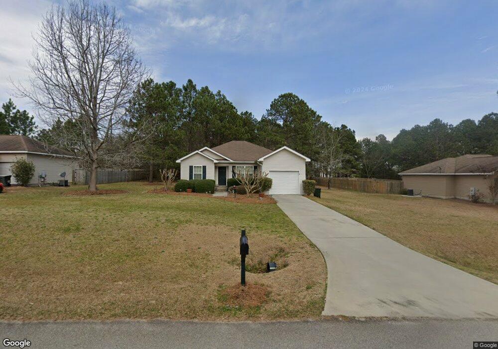
103 Westway Ct Statesboro, GA 30461
Estimated Value: $218,000 - $247,000
3
Beds
2
Baths
1,300
Sq Ft
$177/Sq Ft
Est. Value
About This Home
This home is located at 103 Westway Ct, Statesboro, GA 30461 and is currently estimated at $230,219, approximately $177 per square foot. 103 Westway Ct is a home located in Bulloch County with nearby schools including Sallie Zetterower Elementary School, Statesboro High School, and Langston Chapel Middle School.
Ownership History
Date
Name
Owned For
Owner Type
Purchase Details
Closed on
Apr 30, 2008
Sold by
Not Provided
Bought by
Mcneely Brenda A
Current Estimated Value
Home Financials for this Owner
Home Financials are based on the most recent Mortgage that was taken out on this home.
Original Mortgage
$118,655
Outstanding Balance
$75,065
Interest Rate
5.86%
Mortgage Type
New Conventional
Estimated Equity
$155,154
Purchase Details
Closed on
Oct 3, 2007
Sold by
Not Provided
Bought by
Mcneely Brenda A
Purchase Details
Closed on
Apr 23, 2007
Sold by
Not Provided
Bought by
Mcneely Brenda A
Create a Home Valuation Report for This Property
The Home Valuation Report is an in-depth analysis detailing your home's value as well as a comparison with similar homes in the area
Home Values in the Area
Average Home Value in this Area
Purchase History
| Date | Buyer | Sale Price | Title Company |
|---|---|---|---|
| Mcneely Brenda A | $124,900 | -- | |
| Mcneely Brenda A | $164,500 | -- | |
| Mcneely Brenda A | -- | -- |
Source: Public Records
Mortgage History
| Date | Status | Borrower | Loan Amount |
|---|---|---|---|
| Open | Mcneely Brenda A | $118,655 |
Source: Public Records
Tax History Compared to Growth
Tax History
| Year | Tax Paid | Tax Assessment Tax Assessment Total Assessment is a certain percentage of the fair market value that is determined by local assessors to be the total taxable value of land and additions on the property. | Land | Improvement |
|---|---|---|---|---|
| 2024 | $1,392 | $69,480 | $10,160 | $59,320 |
| 2023 | $1,398 | $64,280 | $10,160 | $54,120 |
| 2022 | $1,097 | $56,444 | $10,160 | $46,284 |
| 2021 | $1,063 | $49,409 | $10,160 | $39,249 |
| 2020 | $1,029 | $47,628 | $10,160 | $37,468 |
| 2019 | $1,036 | $47,690 | $10,160 | $37,530 |
| 2018 | $1,070 | $47,399 | $10,160 | $37,239 |
| 2017 | $1,045 | $45,860 | $10,160 | $35,700 |
| 2016 | -- | $45,058 | $10,160 | $34,898 |
| 2015 | $1,033 | $44,137 | $10,160 | $33,977 |
| 2014 | $955 | $44,137 | $10,160 | $33,977 |
Source: Public Records
Map
Nearby Homes
- 401 Jacob Ct
- 406 Jacob Ct
- 207 N Jackson Rd
- 117 Circle Dr
- 305 Meadowlark Cir
- 603 Depot Dr
- 23606 Us Highway 80 E
- 317 Somera Ln
- 115 Sandy Way
- The Loblolly Plan at Belair East
- The Cypress Plan at Belair East
- The Dogwood Plan at Belair East
- The Holly Plan at Belair East
- The Birch Plan at Belair East
- The Aspen Plan at Belair East
- The Magnolia Plan at Belair East
- 0 George Moore Rd Unit 10559523
- 0 George Moore Rd Unit SA333925
- 306 Somera Ln
- 309 Somera Ln
- 105 Westway Ct
- 101 Westway Ct
- W Westway Ct
- 107 Westway Ct
- 502 Ansley Ct
- 506 Ansley Ct
- 113 East Dr
- 113 East Dr Unit B
- 113 East Dr Unit A
- 102 Westway Ct
- 100 Westway Ct
- 104 Westway Ct
- 106 Westway Ct
- 508 Ansley Ct Unit 1
- 508 Ansley Ct
- 114 East Dr
- 109 Westway Ct
- 100 Princess Ln
- 500 Andey Ct
- 510 Ansley Ct