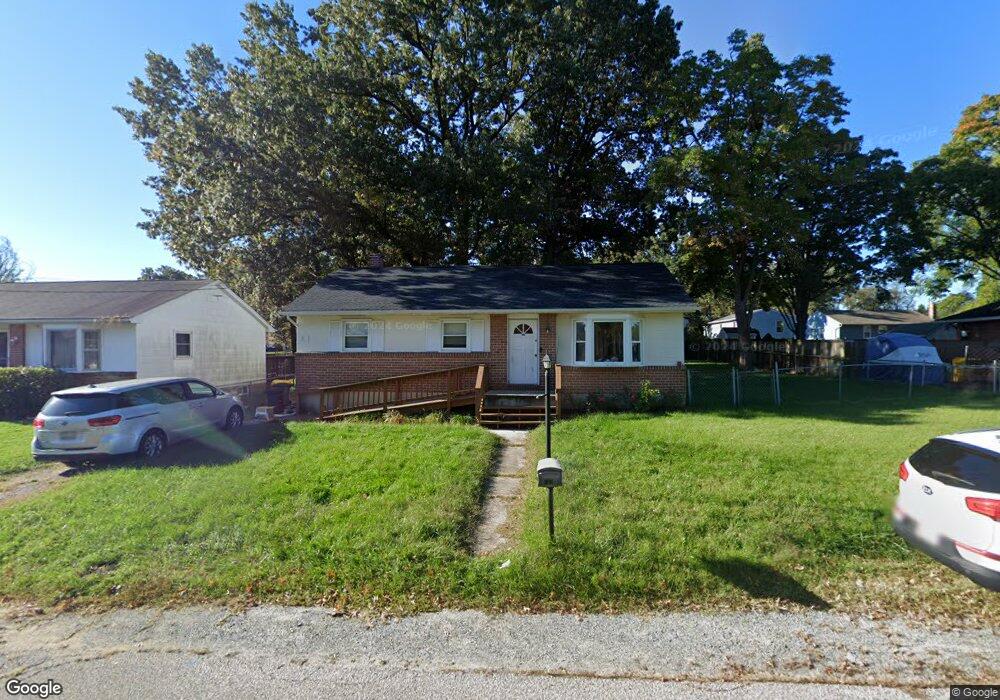
103 Wilson Blvd SW Glen Burnie, MD 21061
Estimated Value: $338,000 - $385,000
--
Bed
1
Bath
1,040
Sq Ft
$352/Sq Ft
Est. Value
About This Home
This home is located at 103 Wilson Blvd SW, Glen Burnie, MD 21061 and is currently estimated at $366,510, approximately $352 per square foot. 103 Wilson Blvd SW is a home located in Anne Arundel County with nearby schools including Richard Henry Lee Elementary School, Corkran Middle School, and Glen Burnie High School.
Ownership History
Date
Name
Owned For
Owner Type
Purchase Details
Closed on
Oct 18, 2024
Sold by
Shepherd Suzanne and Smelley Cameron
Bought by
Smelley Cameron
Current Estimated Value
Purchase Details
Closed on
Dec 22, 2004
Sold by
Moret Nathan E
Bought by
Smelley Travis L and Shepherd Suzanne M
Purchase Details
Closed on
Nov 17, 1997
Sold by
Wootteon Donald J
Bought by
Moret Nathan E
Create a Home Valuation Report for This Property
The Home Valuation Report is an in-depth analysis detailing your home's value as well as a comparison with similar homes in the area
Home Values in the Area
Average Home Value in this Area
Purchase History
| Date | Buyer | Sale Price | Title Company |
|---|---|---|---|
| Smelley Cameron | -- | None Listed On Document | |
| Smelley Cameron | -- | None Listed On Document | |
| Smelley Travis L | $214,900 | -- | |
| Moret Nathan E | $121,600 | -- |
Source: Public Records
Mortgage History
| Date | Status | Borrower | Loan Amount |
|---|---|---|---|
| Closed | Moret Nathan E | -- |
Source: Public Records
Tax History Compared to Growth
Tax History
| Year | Tax Paid | Tax Assessment Tax Assessment Total Assessment is a certain percentage of the fair market value that is determined by local assessors to be the total taxable value of land and additions on the property. | Land | Improvement |
|---|---|---|---|---|
| 2025 | $2,797 | $261,800 | $141,200 | $120,600 |
| 2024 | $2,797 | $249,967 | $0 | $0 |
| 2023 | $2,236 | $238,133 | $0 | $0 |
| 2022 | $2,365 | $226,300 | $121,200 | $105,100 |
| 2021 | $4,968 | $225,133 | $0 | $0 |
| 2020 | $2,406 | $223,967 | $0 | $0 |
| 2019 | $4,637 | $222,800 | $116,200 | $106,600 |
| 2018 | $2,097 | $206,833 | $0 | $0 |
| 2017 | $2,087 | $190,867 | $0 | $0 |
| 2016 | -- | $174,900 | $0 | $0 |
| 2015 | -- | $172,867 | $0 | $0 |
| 2014 | -- | $170,833 | $0 | $0 |
Source: Public Records
Map
Nearby Homes
- 107 Main Ave SW
- 19 Main Ave SW
- 207 Lincoln Ave SW
- 209 Lincoln Ave SW
- 118 Heather Stone Way Unit 80
- 707 Delmar Ave
- 100 3rd Ave SE
- 305 Newfield Rd
- 106 3rd Ave SE
- 227 Truck Farm Dr
- 715 Griffith Rd
- 318 Washington Blvd
- 267 Truck Farm Dr
- 903 Jay Ct
- 320 Washington Blvd
- 301 Newfield Rd
- 618 Stewart Ave
- 420 Lincoln Ave SW
- 120 Kindred Way
- 1324 Ray Ln
- 113 Wilson Blvd SW
- 101 Wilson Blvd SW
- 2 SW Pershing Ave
- 104 Wilson Blvd SW
- 106 Wilson Blvd SW
- 115 Wilson Blvd SW
- 115 Wilson Blvd SW
- 115A Wilson Blvd SW
- 104 Roosevelt Ave
- 106 Roosevelt Ave
- 102 Roosevelt Ave
- 100 Wilson Blvd SW
- 108 Wilson Blvd SW
- 108 Roosevelt Ave
- 21 Wilson Blvd SW
- 100 Roosevelt Ave
- 117 Wilson Blvd SW
- 112 Wilson Blvd SW
- 110 Roosevelt Ave
- 116 Wilson Blvd SW