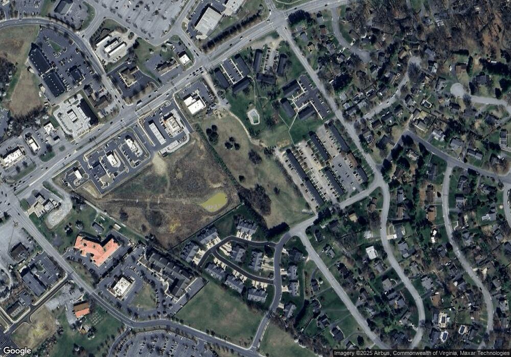
1030 Alston Ct Waynesboro, VA 22980
Estimated Value: $912,084
--
Bed
--
Bath
--
Sq Ft
4.83
Acres
About This Home
This home is located at 1030 Alston Ct, Waynesboro, VA 22980 and is currently estimated at $912,084. 1030 Alston Ct is a home located in Waynesboro City with nearby schools including Westwood Hills Elementary School, Kate Collins Middle School, and Waynesboro High School.
Ownership History
Date
Name
Owned For
Owner Type
Purchase Details
Closed on
Dec 18, 2023
Sold by
White Candace Sharp
Bought by
401403 Llc
Current Estimated Value
Home Financials for this Owner
Home Financials are based on the most recent Mortgage that was taken out on this home.
Original Mortgage
$520,000
Outstanding Balance
$69,167
Interest Rate
7.22%
Mortgage Type
Credit Line Revolving
Estimated Equity
$842,917
Purchase Details
Closed on
Sep 20, 2018
Sold by
White David A and White Candace A
Bought by
White Candace Sharp
Create a Home Valuation Report for This Property
The Home Valuation Report is an in-depth analysis detailing your home's value as well as a comparison with similar homes in the area
Home Values in the Area
Average Home Value in this Area
Purchase History
| Date | Buyer | Sale Price | Title Company |
|---|---|---|---|
| 401403 Llc | $800,000 | None Listed On Document | |
| White Candace Sharp | -- | None Available |
Source: Public Records
Mortgage History
| Date | Status | Borrower | Loan Amount |
|---|---|---|---|
| Open | 401403 Llc | $520,000 |
Source: Public Records
Tax History Compared to Growth
Tax History
| Year | Tax Paid | Tax Assessment Tax Assessment Total Assessment is a certain percentage of the fair market value that is determined by local assessors to be the total taxable value of land and additions on the property. | Land | Improvement |
|---|---|---|---|---|
| 2025 | $6,585 | $803,000 | $803,000 | $0 |
| 2024 | $4,839 | $628,400 | $628,400 | $0 |
| 2023 | $4,839 | $628,400 | $628,400 | $0 |
| 2022 | $5,656 | $628,400 | $628,400 | $0 |
| 2021 | $5,656 | $628,400 | $628,400 | $0 |
| 2020 | $5,656 | $628,400 | $628,400 | $0 |
| 2019 | $5,656 | $628,400 | $628,400 | $0 |
| 2018 | $5,656 | $628,400 | $628,400 | $0 |
| 2017 | $5,467 | $628,400 | $628,400 | $0 |
| 2016 | $5,027 | $628,400 | $628,400 | $0 |
| 2015 | $5,027 | $628,400 | $628,400 | $0 |
| 2014 | -- | $628,400 | $628,400 | $0 |
| 2013 | -- | $0 | $0 | $0 |
Source: Public Records
Map
Nearby Homes
- 120 Tiffany Dr
- 840 Hawthorne Ln
- 141 Lucy Ln
- 71 Sunbird Ln
- 1229 Rosser Ave
- 49 Ridgeline Dr
- 225 Springdale Rd
- 209 Springdale Rd
- 79 Springdale Rd
- 63 Springdale Rd
- 204 Sunbird Ln
- 208 Sunbird Ln
- 313 Springdale Rd
- 217 Springdale Rd
- 129 Springdale Rd
- 94A Sunbird Ln
- 144 Sunbird Ln
- 73A Sunbird Ln
- 58 Sunbird Ln
- 244 Ridgeline Dr
- 121 Ridgeline Dr
- 141 Ridgeline Dr
- 113 Ridgeline Dr
- 133 Ridgeline Dr
- 208 Ridgeline Dr
- 200 Ridgeline Dr
- 112 Brandon Cir
- 108 Brandon Cir
- 104 Brandon Cir
- 126 Brandon Cir
- 100 Brandon Cir
- 1750 Rosser Ave Unit 23 BRANDON LADD CIRC
- 1750 Rosser Ave Unit 44 BRANDON LADD CIRC
- 1750 Rosser Ave Unit 144A Brandon Ladd Ci
- 1750 Rosser Ave Unit 22 BRANDON LADD CIRC
- 1750 Rosser Ave Unit 146B BRANDON LADD CI
- 1750 Rosser Ave Unit 70 BRANDON LADD CIRC
- 1750 Rosser Ave Unit 120B BRANDON LADD CI
- 1750 Rosser Ave Unit 136B BRANDON LADD CI
- 1750 Rosser Ave Unit 21 BRANDON LADD CIRC
