1030 Amberstapp Studdard Rd Social Circle, GA 30025
Estimated Value: $451,000 - $689,000
--
Bed
--
Bath
2,361
Sq Ft
$236/Sq Ft
Est. Value
About This Home
This home is located at 1030 Amberstapp Studdard Rd, Social Circle, GA 30025 and is currently estimated at $558,002, approximately $236 per square foot. 1030 Amberstapp Studdard Rd is a home located in Walton County with nearby schools including Harmony Elementary School, Carver Middle School, and Monroe Area High School.
Ownership History
Date
Name
Owned For
Owner Type
Purchase Details
Closed on
May 24, 2010
Sold by
Studdard Wesley K and Studdard Christina G
Bought by
Studdard Wesley K and Studdard Christina G
Current Estimated Value
Home Financials for this Owner
Home Financials are based on the most recent Mortgage that was taken out on this home.
Original Mortgage
$170,300
Outstanding Balance
$114,033
Interest Rate
5.03%
Mortgage Type
New Conventional
Estimated Equity
$443,969
Create a Home Valuation Report for This Property
The Home Valuation Report is an in-depth analysis detailing your home's value as well as a comparison with similar homes in the area
Home Values in the Area
Average Home Value in this Area
Purchase History
| Date | Buyer | Sale Price | Title Company |
|---|---|---|---|
| Studdard Wesley K | -- | -- |
Source: Public Records
Mortgage History
| Date | Status | Borrower | Loan Amount |
|---|---|---|---|
| Open | Studdard Wesley K | $170,300 |
Source: Public Records
Tax History Compared to Growth
Tax History
| Year | Tax Paid | Tax Assessment Tax Assessment Total Assessment is a certain percentage of the fair market value that is determined by local assessors to be the total taxable value of land and additions on the property. | Land | Improvement |
|---|---|---|---|---|
| 2024 | $4,278 | $190,400 | $40,880 | $149,520 |
| 2023 | $3,714 | $175,720 | $38,800 | $136,920 |
| 2022 | $4,077 | $155,920 | $35,000 | $120,920 |
| 2021 | $3,715 | $131,440 | $27,200 | $104,240 |
| 2020 | $3,648 | $123,760 | $23,600 | $100,160 |
| 2019 | $3,490 | $111,040 | $20,960 | $90,080 |
| 2018 | $3,374 | $111,040 | $20,960 | $90,080 |
| 2017 | $3,739 | $108,520 | $20,960 | $87,560 |
| 2016 | $2,920 | $88,520 | $16,360 | $72,160 |
| 2015 | $2,850 | $85,080 | $16,360 | $68,720 |
| 2014 | $2,836 | $82,640 | $0 | $0 |
Source: Public Records
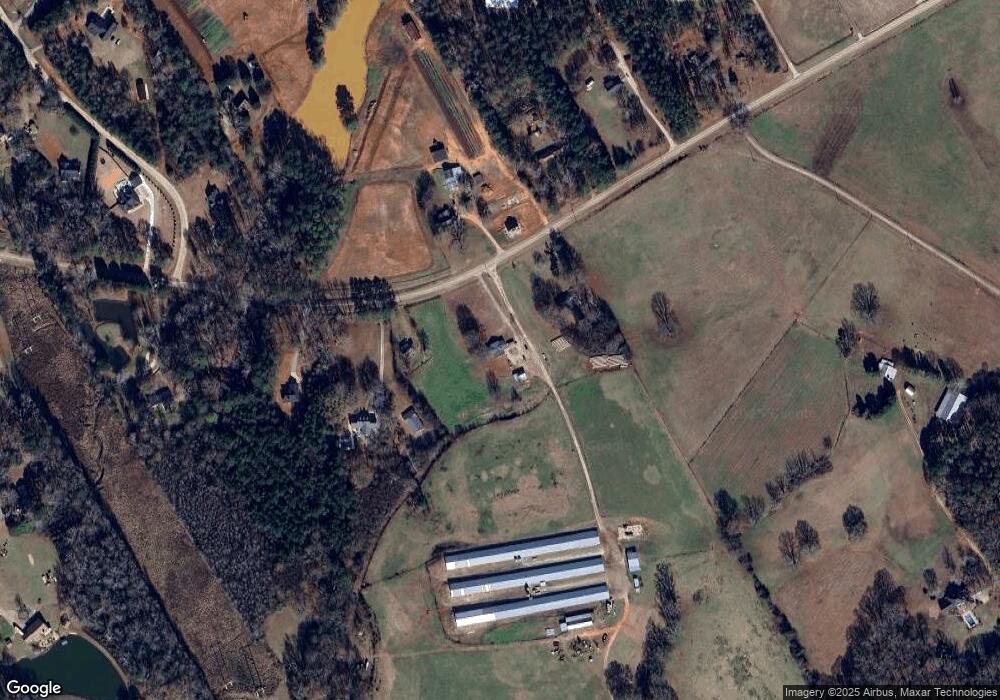
Map
Nearby Homes
- 745 Amber Lakes Ct Unit 2
- 4967 Hawkins Academy Rd
- 1310 Knox Chapel Rd
- 5168 Parkview Rd
- 5187 Parkview Rd
- 2535 Willow Ln
- 4685 Hawkins Academy Rd
- 4841 Partee Trail
- 382 Knox Chapel Rd
- 4601 Parkwood Rd
- 5761 W Dixie Hwy
- 1013 Amber Stapp Studdard Rd
- 25 Browning Shoals Rd
- 5521 Atlanta Hwy
- 2070 Walter Shepherd Rd
- 1030 Amberstapp Studdard Rd
- 1164 Amberstapp Studdard Rd
- 1164 Amber Stapp Studdard Rd
- 1000 Amber Stapp Studdard Rd
- 1000 Amberstapp Studdard Rd
- 1180 Amber Stapp Studdard Rd
- 1180 Amberstapp Studdard Rd
- 1013 Amberstapp Studdard Rd
- 1184 Amberstapp Studdard Rd
- 1184 Amber Stapp Studdard Rd
- 933 Amberstapp Studdard Rd
- 1251 Amber Stapp Studdard Rd
- 1271 Amber Stapp Studdard Rd
- 900 Amberstapp Studdard Rd
- 900 Amber Stapp Studdard Rd
- 1189 Amber Stapp Studdard Rd Unit 41
- 1189 Amberstapp Studdard Rd Unit 41
- 1189 Amberstapp Studdard Rd
- 915 Amberstapp Studdard Rd
- 1212 Amberstapp Studdard Rd